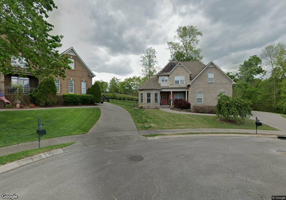
4004 Karissa Ct Spring Hill, TN 37174
Estimated Value: $745,000 - $762,000
--
Bed
--
Bath
2,896
Sq Ft
$261/Sq Ft
Est. Value
About This Home
This home is located at 4004 Karissa Ct, Spring Hill, TN 37174 and is currently estimated at $754,527, approximately $260 per square foot. 4004 Karissa Ct is a home with nearby schools including Allendale Elementary School, Spring Station Middle School, and Summit High School.
Ownership History
Date
Name
Owned For
Owner Type
Purchase Details
Closed on
Apr 12, 2013
Sold by
Golden Excavating And Utilities Llc
Bought by
Brewer Travis Michael and Brewer Leslie Flyse
Current Estimated Value
Home Financials for this Owner
Home Financials are based on the most recent Mortgage that was taken out on this home.
Original Mortgage
$306,755
Outstanding Balance
$217,310
Interest Rate
3.55%
Mortgage Type
New Conventional
Estimated Equity
$537,217
Purchase Details
Closed on
Aug 20, 2012
Sold by
Belay Capital Partners 1 Llc
Bought by
Golden Excavating Utilities Llc
Home Financials for this Owner
Home Financials are based on the most recent Mortgage that was taken out on this home.
Original Mortgage
$232,000
Interest Rate
3.55%
Mortgage Type
Construction
Create a Home Valuation Report for This Property
The Home Valuation Report is an in-depth analysis detailing your home's value as well as a comparison with similar homes in the area
Home Values in the Area
Average Home Value in this Area
Purchase History
| Date | Buyer | Sale Price | Title Company |
|---|---|---|---|
| Brewer Travis Michael | $322,900 | None Available | |
| Golden Excavating Utilities Llc | $38,500 | None Available |
Source: Public Records
Mortgage History
| Date | Status | Borrower | Loan Amount |
|---|---|---|---|
| Open | Brewer Travis Michael | $306,755 | |
| Previous Owner | Golden Excavating Utilities Llc | $232,000 |
Source: Public Records
Tax History Compared to Growth
Tax History
| Year | Tax Paid | Tax Assessment Tax Assessment Total Assessment is a certain percentage of the fair market value that is determined by local assessors to be the total taxable value of land and additions on the property. | Land | Improvement |
|---|---|---|---|---|
| 2024 | $874 | $118,250 | $23,750 | $94,500 |
| 2023 | $874 | $118,250 | $23,750 | $94,500 |
| 2022 | $2,164 | $118,250 | $23,750 | $94,500 |
| 2021 | $2,164 | $118,250 | $23,750 | $94,500 |
| 2020 | $1,878 | $86,950 | $16,250 | $70,700 |
| 2019 | $1,878 | $86,950 | $16,250 | $70,700 |
| 2018 | $1,817 | $86,950 | $16,250 | $70,700 |
| 2017 | $1,800 | $86,950 | $16,250 | $70,700 |
| 2016 | $0 | $86,950 | $16,250 | $70,700 |
| 2015 | -- | $77,450 | $16,250 | $61,200 |
| 2014 | -- | $77,450 | $16,250 | $61,200 |
Source: Public Records
Map
Nearby Homes
- 1425 Round Hill Ln
- 1011 Glessner Dr
- 4019 Fremantle Cir
- 1958 Harmony Rd
- 1956 Harmony Rd
- 1952 Harmony Rd
- 1938 Harmony Rd
- Caney Plan at August Park
- Harpeth Plan at August Park
- McCutcheon Plan at August Park
- Kinnard Plan at August Park
- Tanyard Plan at August Park
- 1937 Harmony Rd
- 5957 Hunt Valley Dr
- 5969 Hunt Valley Dr
- 5963 Hunt Valley Dr
- 5959 Hunt Valley Dr
- 7001 Thunderhead Way
- 5954 Hunt Valley Dr
- 5952 Hunt Valley Dr
- 4003 Karissa Ct
- 4002 Karissa Ct
- 1012 Glessner Dr
- 4001 Karissa Ct
- 1018 Glessner Dr
- 1986 Brisbane Dr
- 1010 Glessner Dr
- 1013 Glessner Dr
- 1989 Brisbane Dr
- 4017 Fremantle Cir
- 1008 Glessner Dr
- 4015 Fremantle Cir
- 1988 Brisbane Dr
- 1015 Glessner Dr
- 1988 Brisbane Dr
- 1020 Glessner Dr
- 4021 Fremantle Cir
- 4013 Fremantle Cir
- 1017 Glessner Dr
- 3004 Mickey Rd