Estimated Value: $296,421 - $307,000
--
Bed
2
Baths
1,716
Sq Ft
$177/Sq Ft
Est. Value
About This Home
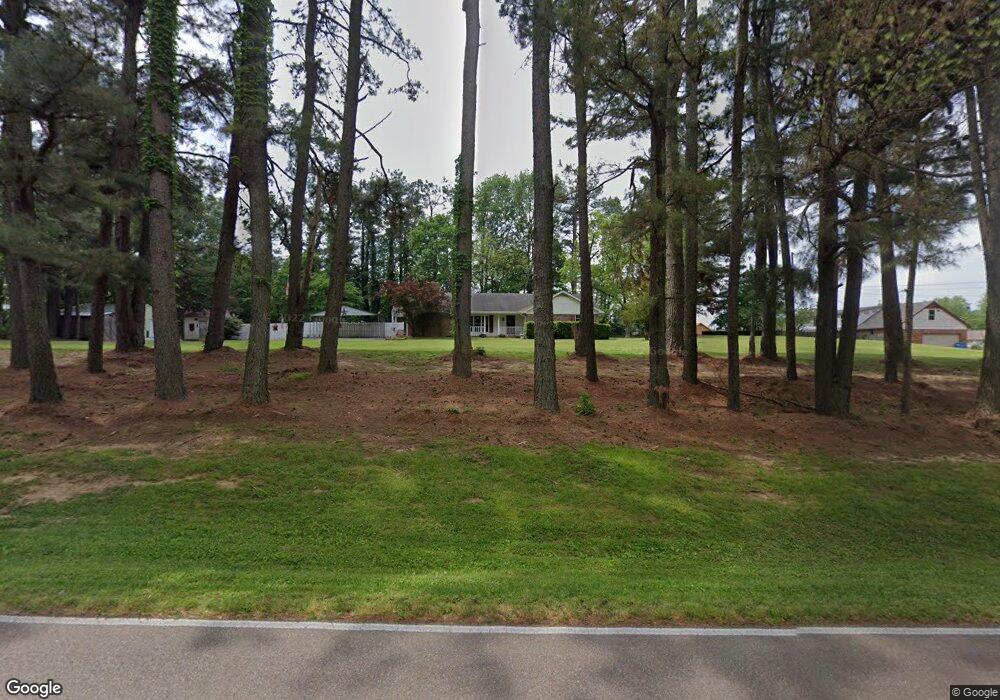
This home is located at 4009 Tracy Rd, Atoka, TN 38004 and is currently estimated at $303,105, approximately $176 per square foot. 4009 Tracy Rd is a home located in Tipton County with nearby schools including Atoka Elementary School, Munford Middle School, and Munford High School.
Ownership History
Date
Name
Owned For
Owner Type
Purchase Details
Closed on
May 29, 2007
Sold by
Charles Westerman
Bought by
Westerman Gloria J
Current Estimated Value
Purchase Details
Closed on
Sep 23, 2004
Sold by
Jimmy Causey
Bought by
Charles Westerman
Home Financials for this Owner
Home Financials are based on the most recent Mortgage that was taken out on this home.
Original Mortgage
$134,934
Interest Rate
5.75%
Purchase Details
Closed on
Jul 27, 1998
Sold by
Jimmy Causey
Bought by
Jimmy Causey
Purchase Details
Closed on
Jun 22, 1994
Bought by
Causey Jimmy and Mcneely Marion C
Purchase Details
Closed on
Jul 31, 1991
Bought by
White Michael K and Linda Ann
Purchase Details
Closed on
Jul 24, 1986
Bought by
Hunter Edgar E and Paula Denise
Purchase Details
Closed on
May 27, 1986
Purchase Details
Closed on
Nov 16, 1968
Create a Home Valuation Report for This Property
The Home Valuation Report is an in-depth analysis detailing your home's value as well as a comparison with similar homes in the area
Home Values in the Area
Average Home Value in this Area
Purchase History
| Date | Buyer | Sale Price | Title Company |
|---|---|---|---|
| Westerman Gloria J | -- | -- | |
| Charles Westerman | $136,000 | -- | |
| Jimmy Causey | -- | -- | |
| Causey Jimmy | $97,400 | -- | |
| White Michael K | $82,000 | -- | |
| Hunter Edgar E | -- | -- | |
| -- | -- | -- | |
| -- | -- | -- |
Source: Public Records
Mortgage History
| Date | Status | Borrower | Loan Amount |
|---|---|---|---|
| Previous Owner | Not Available | $134,934 |
Source: Public Records
Tax History Compared to Growth
Tax History
| Year | Tax Paid | Tax Assessment Tax Assessment Total Assessment is a certain percentage of the fair market value that is determined by local assessors to be the total taxable value of land and additions on the property. | Land | Improvement |
|---|---|---|---|---|
| 2024 | $1,399 | $62,025 | $12,225 | $49,800 |
| 2023 | $1,399 | $62,025 | $12,225 | $49,800 |
| 2022 | $1,344 | $43,750 | $9,000 | $34,750 |
| 2021 | $1,321 | $43,750 | $9,000 | $34,750 |
| 2020 | $1,320 | $43,750 | $9,000 | $34,750 |
| 2019 | $1,145 | $31,900 | $8,200 | $23,700 |
| 2018 | $1,120 | $31,200 | $8,200 | $23,000 |
| 2017 | $1,005 | $31,200 | $8,200 | $23,000 |
| 2016 | $1,005 | $31,200 | $8,200 | $23,000 |
| 2015 | $1,004 | $31,200 | $8,200 | $23,000 |
| 2014 | $928 | $31,212 | $0 | $0 |
Source: Public Records
Map
Nearby Homes
- 1240 Je Blaydes Pkwy
- 91 Bethel Rd
- 512 Kearns Cir
- 665 Betty Boyd Ln
- 8645 Rosalee Ln
- 343 Brittany Ln
- 135 Jaimes Ln
- 156 Farmer Trail
- 298 Anita Dr
- 107 Farmer Trail
- 239 Blaydes Dr
- 461 Blaydes Dr
- 0 Meade Lake Rd Unit 10196514
- 242 Timothy Rd
- 102 Stroud Cir
- 135 Duncan Dr
- 210 Duncan Dr
- 33 Hattie Ln
- 376 Stroud Cir
- 33 Ward Ln
- 46 Quail Hollow Dr
- 4038 Tracy Rd
- 50 Quail Hollow Cove
- 88 Quail Hollow Dr
- 108 Quail Hollow Dr
- 39 Quail Hollow Dr
- 79 Quail Hollow Dr
- 3895 Tracy Rd
- 109 Quail Hollow Dr
- 129 Quail Hollow Dr
- 55 Quail Hollow Cove
- 170 Quail Hollow Dr
- 149 Quail Hollow Dr
- 177 Quail Hollow Dr
- 3859 Tracy Rd
- 200 Quail Hollow Dr
- 233 Quail Hollow Dr
- 0 Quail Hollow Dr
- 234 Quail Hollow Dr