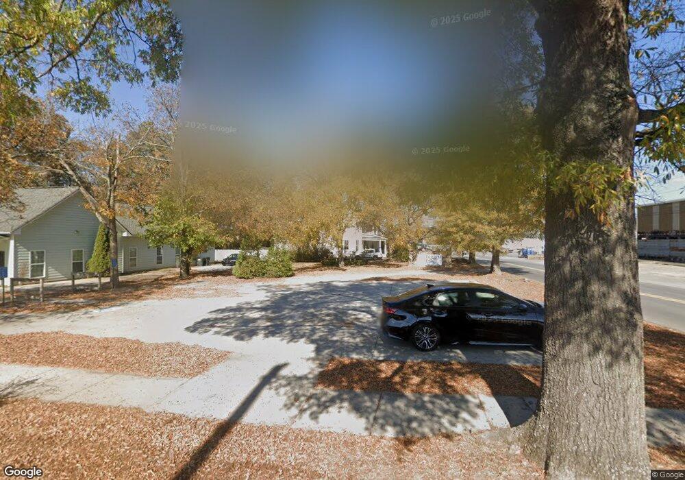
401 2nd Ave Unit 1 Calhoun, GA 30701
Estimated Value: $189,000
4
Beds
5
Baths
3,477
Sq Ft
$54/Sq Ft
Est. Value
About This Home
This home is located at 401 2nd Ave Unit 1, Calhoun, GA 30701 and is currently priced at $189,000, approximately $54 per square foot. 401 2nd Ave Unit 1 is a home located in Gordon County with nearby schools including Calhoun Primary School, Calhoun Elementary School, and Calhoun Middle School.
Ownership History
Date
Name
Owned For
Owner Type
Purchase Details
Closed on
Nov 28, 2018
Sold by
Abby Investment Properties Llc
Bought by
Prater Corp
Current Estimated Value
Purchase Details
Closed on
Aug 7, 2014
Sold by
Arukah Medicine Pc
Bought by
Hamilton Physician Grp Inc
Purchase Details
Closed on
Dec 21, 2007
Sold by
Mcdoniel Flipper
Bought by
The Landleord Inc
Purchase Details
Closed on
May 7, 1998
Bought by
Mcdaniel Flipper
Purchase Details
Closed on
Nov 3, 1995
Bought by
Clark Larry
Create a Home Valuation Report for This Property
The Home Valuation Report is an in-depth analysis detailing your home's value as well as a comparison with similar homes in the area
Home Values in the Area
Average Home Value in this Area
Purchase History
| Date | Buyer | Sale Price | Title Company |
|---|---|---|---|
| Prater Corp | $230,000 | -- | |
| Hamilton Physician Grp Inc | $310,000 | -- | |
| The Landleord Inc | $30,000 | -- | |
| Mcdaniel Flipper | $50,000 | -- | |
| Clark Larry | $19,000 | -- |
Source: Public Records
Tax History Compared to Growth
Tax History
| Year | Tax Paid | Tax Assessment Tax Assessment Total Assessment is a certain percentage of the fair market value that is determined by local assessors to be the total taxable value of land and additions on the property. | Land | Improvement |
|---|---|---|---|---|
| 2024 | $594 | $21,120 | $18,200 | $2,920 |
| 2023 | $598 | $21,280 | $18,200 | $3,080 |
| 2022 | $204 | $21,400 | $18,200 | $3,200 |
| 2021 | $647 | $21,720 | $18,200 | $3,520 |
| 2020 | $655 | $21,840 | $18,200 | $3,640 |
| 2019 | $278 | $21,840 | $18,200 | $3,640 |
| 2018 | $79 | $10,320 | $7,480 | $2,840 |
| 2017 | $264 | $26,836 | $7,480 | $19,356 |
| 2016 | $264 | $26,836 | $7,480 | $19,356 |
| 2015 | $253 | $25,396 | $7,480 | $17,916 |
| 2014 | $217 | $22,006 | $6,694 | $15,312 |
Source: Public Records
Map
Nearby Homes
- 207 N River St
- 110 Boston Rd
- 404 Mcginnis Cir
- 100 Neal St
- 200 Fain St
- 227 Mcconnell Rd
- 201 King St N
- 0 N Dale Ave Unit 7622794
- 0 N Dale Ave Unit 10572875
- 515 Woodlawn Ave
- 153 Riverview Dr
- 85 Professional Place Unit 14
- 136 Boston Rd
- 421 Boulevard Heights
- 200 Ridgeview Trail
- 229 Hillcrest Dr
- 712 College St
- 198 Hillcrest Dr
- 108 Mac Ave