401 Brookside Dr Andover, MA 01810
Far West Andover NeighborhoodEstimated Value: $480,000 - $548,000
3
Beds
3
Baths
1,334
Sq Ft
$395/Sq Ft
Est. Value
About This Home
This home is located at 401 Brookside Dr, Andover, MA 01810 and is currently estimated at $526,397, approximately $394 per square foot. 401 Brookside Dr is a home located in Essex County with nearby schools including High Plain Elementary School, Wood Hill Middle School, and Andover High School.
Ownership History
Date
Name
Owned For
Owner Type
Purchase Details
Closed on
Jan 15, 2010
Sold by
Scarpa Domenic V
Bought by
Owens Thomas B and Owens Ann C
Current Estimated Value
Home Financials for this Owner
Home Financials are based on the most recent Mortgage that was taken out on this home.
Original Mortgage
$175,000
Outstanding Balance
$112,562
Interest Rate
4.71%
Mortgage Type
Purchase Money Mortgage
Estimated Equity
$413,835
Purchase Details
Closed on
Nov 20, 2007
Sold by
Kendircioglu Aslihan and Kendircioglu Recep C
Bought by
Scarpa Domenic V and Scarpa Particia L
Create a Home Valuation Report for This Property
The Home Valuation Report is an in-depth analysis detailing your home's value as well as a comparison with similar homes in the area
Home Values in the Area
Average Home Value in this Area
Purchase History
| Date | Buyer | Sale Price | Title Company |
|---|---|---|---|
| Owens Thomas B | $280,000 | -- | |
| Scarpa Domenic V | $370,000 | -- |
Source: Public Records
Mortgage History
| Date | Status | Borrower | Loan Amount |
|---|---|---|---|
| Open | Owens Thomas B | $175,000 |
Source: Public Records
Tax History
| Year | Tax Paid | Tax Assessment Tax Assessment Total Assessment is a certain percentage of the fair market value that is determined by local assessors to be the total taxable value of land and additions on the property. | Land | Improvement |
|---|---|---|---|---|
| 2024 | $5,323 | $413,300 | $0 | $413,300 |
| 2023 | $4,900 | $358,700 | $0 | $358,700 |
| 2022 | $4,599 | $315,000 | $0 | $315,000 |
| 2021 | $4,668 | $305,300 | $0 | $305,300 |
| 2020 | $4,479 | $298,400 | $0 | $298,400 |
| 2019 | $4,499 | $294,600 | $0 | $294,600 |
| 2018 | $4,592 | $293,600 | $0 | $293,600 |
| 2017 | $4,446 | $292,900 | $0 | $292,900 |
| 2016 | $4,366 | $294,600 | $0 | $294,600 |
| 2015 | $4,163 | $278,100 | $0 | $278,100 |
Source: Public Records
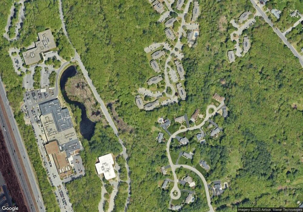
Map
Nearby Homes
- 750 Brookside Dr Unit G
- 2 Boardwalk Dr
- 9 Oakland Rd
- 2 Weeping Willow Dr
- 4 Weeping Willow Dr
- 5 Weeping Willow Dr
- 5 Crestwood Cir
- 0
- 1146 Essex St
- 58 Chandler Rd
- 29 Westchester Dr
- 35 Adams St
- 1100 Essex St
- 945 Riverside Dr Unit 3B
- 13 Caswell Ave
- 1082 Essex St
- 42-44 Cypress Ave
- 18 Doyle St
- 37 Tewksbury St Unit 39
- 19 Oregon Ave
- 400 Brookside Dr Unit H
- 400 Brookside Dr Unit F
- 400 Brookside Dr Unit E
- 400 Brookside Dr Unit D
- 400 Brookside Dr Unit C
- 400 Brookside Dr Unit B
- 402 Brookside Dr
- 400 Brookside Dr Unit 400
- 450 Brookside Dr Unit M
- 450 Brookside Dr Unit K
- 450 Brookside Dr Unit J
- 450 Brookside Dr Unit H
- 450 Brookside Dr Unit G
- 450 Brookside Dr Unit F
- 450 Brookside Dr Unit E
- 450 Brookside Dr Unit D
- 450 Brookside Dr Unit C
- 450 Brookside Dr Unit B
- 450 Brookside Dr Unit A
- 451 Brookside Dr
Your Personal Tour Guide
Ask me questions while you tour the home.