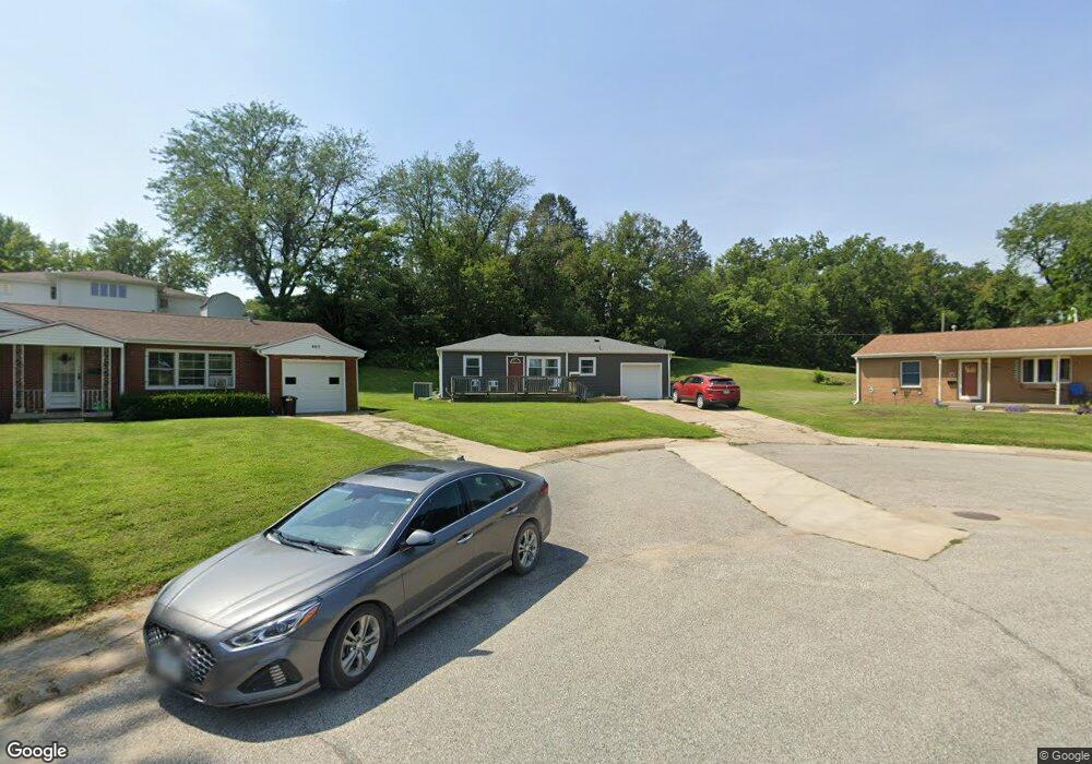
401 Crombie St Atlantic, IA 50022
Estimated Value: $162,000 - $207,000
3
Beds
3
Baths
1,776
Sq Ft
$100/Sq Ft
Est. Value
About This Home
This home is located at 401 Crombie St, Atlantic, IA 50022 and is currently estimated at $177,916, approximately $100 per square foot. 401 Crombie St is a home located in Cass County with nearby schools including Washington Elementary School, Schuler Elementary School, and Atlantic Middle School.
Ownership History
Date
Name
Owned For
Owner Type
Purchase Details
Closed on
Jun 22, 2022
Sold by
Lee Christensen Dylan and Lee Catherine
Bought by
Baragary And Henningsen Llc
Current Estimated Value
Purchase Details
Closed on
Sep 19, 2014
Sold by
Templeton Kelli
Bought by
Christensen Dylan Lee
Home Financials for this Owner
Home Financials are based on the most recent Mortgage that was taken out on this home.
Original Mortgage
$83,780
Interest Rate
4.07%
Mortgage Type
USDA
Create a Home Valuation Report for This Property
The Home Valuation Report is an in-depth analysis detailing your home's value as well as a comparison with similar homes in the area
Home Values in the Area
Average Home Value in this Area
Purchase History
| Date | Buyer | Sale Price | Title Company |
|---|---|---|---|
| Baragary And Henningsen Llc | $135,000 | None Listed On Document | |
| Christensen Dylan Lee | $92,500 | None Available |
Source: Public Records
Mortgage History
| Date | Status | Borrower | Loan Amount |
|---|---|---|---|
| Previous Owner | Christensen Dylan Lee | $83,780 |
Source: Public Records
Tax History Compared to Growth
Tax History
| Year | Tax Paid | Tax Assessment Tax Assessment Total Assessment is a certain percentage of the fair market value that is determined by local assessors to be the total taxable value of land and additions on the property. | Land | Improvement |
|---|---|---|---|---|
| 2024 | $2,588 | $143,930 | $19,970 | $123,960 |
| 2023 | $2,180 | $143,930 | $19,970 | $123,960 |
| 2022 | $1,956 | $101,760 | $18,700 | $83,060 |
| 2021 | $1,956 | $101,760 | $18,700 | $83,060 |
| 2020 | $1,892 | $94,210 | $18,700 | $75,510 |
| 2019 | $1,744 | $83,070 | $0 | $0 |
| 2018 | $1,718 | $83,070 | $0 | $0 |
| 2017 | $1,780 | $83,070 | $0 | $0 |
| 2016 | $1,752 | $83,070 | $0 | $0 |
| 2015 | $1,938 | $83,070 | $0 | $0 |
| 2014 | $1,958 | $83,070 | $0 | $0 |
Source: Public Records
Map
Nearby Homes
- 1801 Bryn Mawr Blvd
- 1603 Bryn Mawr Blvd
- 605 E 19th St
- 1806 Sycamore Ave
- 611 E 18th St
- 1406 E 20th St
- 1404 E 20th St
- 1409 E 20th St
- 1407 E 20th St
- 1603 Olive St
- 9 Ridge Rd
- 104 E 22nd St
- 1508 Roosevelt Dr
- 1314 Chestnut St
- 1304 Chestnut St
- 1303 Chestnut St
- 1200 Chestnut St
- 1410 Mulberry St
- 1100 Chestnut St
- 604 Oak St
- 401 Crombie St
- 10 Fair Ridge Cir
- 1611 Linn St
- 403 Crombie St
- 8 Fair Ridge Cir
- 405 Crombie St
- 12 Fair Ridge Cir
- 1609 Linn St
- 6 Fair Ridge Cir
- 400 Crombie St
- 1825 Bryn Mawr Cir
- 407 Crombie St
- 4 Fair Ridge Cir
- 1607 Linn St
- 14 Fair Ridge Cir
- 404 Crombie St
- 1823 Bryn Mawr Cir
- 409 Crombie St
- 205 Crombie Place
- 5 Fair Ridge Cir