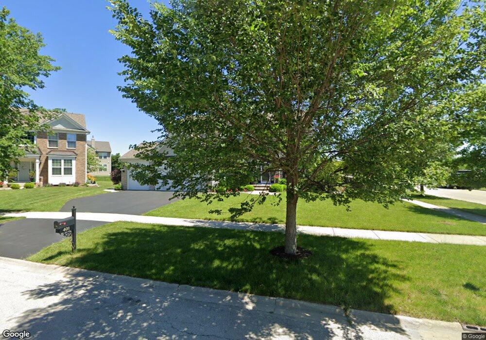
401 Devoe Dr Oswego, IL 60543
North Oswego NeighborhoodEstimated Value: $551,952 - $588,000
4
Beds
3
Baths
3,191
Sq Ft
$178/Sq Ft
Est. Value
About This Home
This home is located at 401 Devoe Dr, Oswego, IL 60543 and is currently estimated at $568,988, approximately $178 per square foot. 401 Devoe Dr is a home located in Kendall County with nearby schools including Southbury Elementary School, Murphy Junior High School, and Oswego East High School.
Ownership History
Date
Name
Owned For
Owner Type
Purchase Details
Closed on
May 8, 2019
Sold by
Rosenberg Ryan and Rosenberg Kelly
Bought by
Kim Joseph and Kim Maria Wendy
Current Estimated Value
Home Financials for this Owner
Home Financials are based on the most recent Mortgage that was taken out on this home.
Original Mortgage
$255,500
Outstanding Balance
$223,719
Interest Rate
4%
Mortgage Type
New Conventional
Estimated Equity
$345,269
Purchase Details
Closed on
Sep 27, 2010
Sold by
Pulte Home Corporation
Bought by
Rosenberg Kelly and Rosenberg Ryan
Home Financials for this Owner
Home Financials are based on the most recent Mortgage that was taken out on this home.
Original Mortgage
$337,272
Interest Rate
4.75%
Mortgage Type
FHA
Create a Home Valuation Report for This Property
The Home Valuation Report is an in-depth analysis detailing your home's value as well as a comparison with similar homes in the area
Home Values in the Area
Average Home Value in this Area
Purchase History
| Date | Buyer | Sale Price | Title Company |
|---|---|---|---|
| Kim Joseph | $365,000 | Chicago Title | |
| Rosenberg Kelly | $343,500 | None Available |
Source: Public Records
Mortgage History
| Date | Status | Borrower | Loan Amount |
|---|---|---|---|
| Open | Kim Joseph | $255,500 | |
| Previous Owner | Rosenberg Kelly | $337,272 |
Source: Public Records
Tax History
| Year | Tax Paid | Tax Assessment Tax Assessment Total Assessment is a certain percentage of the fair market value that is determined by local assessors to be the total taxable value of land and additions on the property. | Land | Improvement |
|---|---|---|---|---|
| 2024 | $12,750 | $164,444 | $27,124 | $137,320 |
| 2023 | $11,300 | $144,249 | $23,793 | $120,456 |
| 2022 | $11,300 | $131,135 | $21,630 | $109,505 |
| 2021 | $11,236 | $126,091 | $20,798 | $105,293 |
| 2020 | $10,889 | $121,241 | $19,998 | $101,243 |
| 2019 | $10,599 | $116,420 | $19,998 | $96,422 |
| 2018 | $11,267 | $118,178 | $26,928 | $91,250 |
| 2017 | $11,321 | $116,431 | $26,530 | $89,901 |
| 2016 | $11,133 | $113,040 | $25,757 | $87,283 |
| 2015 | $10,870 | $105,645 | $24,072 | $81,573 |
| 2014 | -- | $101,582 | $23,146 | $78,436 |
| 2013 | -- | $102,608 | $23,380 | $79,228 |
Source: Public Records
Map
Nearby Homes
- 608 Hawley Dr Unit 4342
- 240 Devoe Dr
- 314 Parker Place
- 464 Valentine Way
- 460 Valentine Way
- 605 Murdock Place
- 241 Cooney Way
- 601 Murdock Place
- 234 Cooney Way
- 602 Murdock Place
- 353 Danforth Dr
- 339 Danforth Dr
- 1823 Indian Hill Ln Unit 4102
- 1851 Indian Hill Ln Unit 4083
- 115 Henderson St
- 1893 Indian Hill Ln Unit 4053
- 700 N Sparkle Ct
- 3017 Lundquist Dr
- 375 Danforth Dr
- 377 Danforth Dr
Your Personal Tour Guide
Ask me questions while you tour the home.