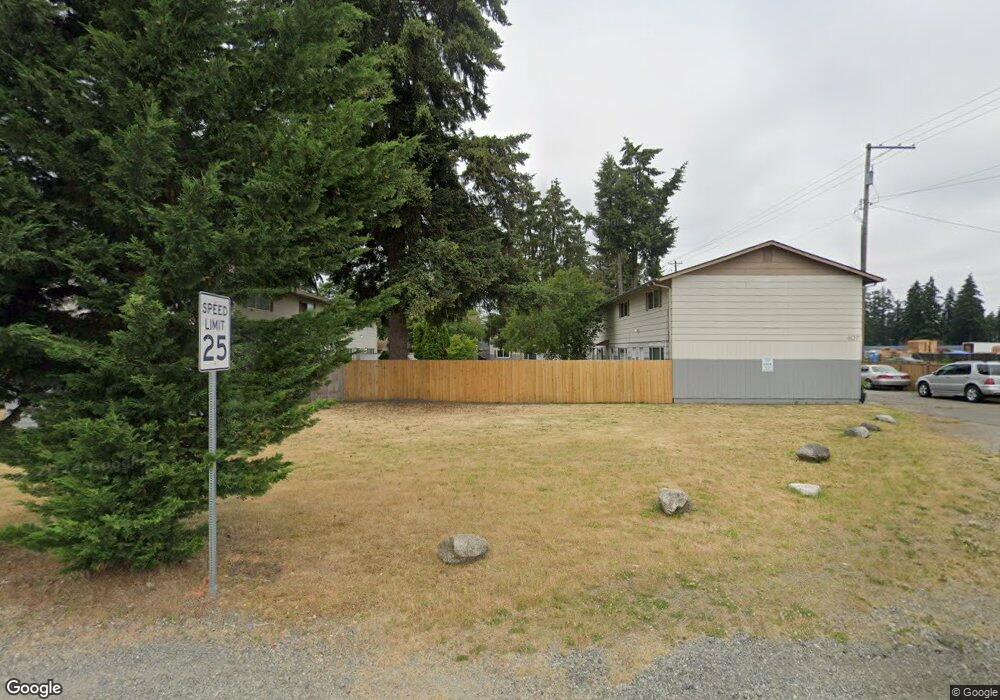
401 Field Rd E Unit 401B Spanaway, WA 98387
Estimated Value: $493,000 - $597,000
4
Beds
2
Baths
1,628
Sq Ft
$336/Sq Ft
Est. Value
About This Home
This home is located at 401 Field Rd E Unit 401B, Spanaway, WA 98387 and is currently estimated at $547,000, approximately $335 per square foot. 401 Field Rd E Unit 401B is a home located in Pierce County with nearby schools including Shining Mountain Elementary School, Bethel Middle School, and Bethel High School.
Ownership History
Date
Name
Owned For
Owner Type
Purchase Details
Closed on
Apr 3, 2006
Sold by
Burr Roger R
Bought by
Sienkiewich Scott C and Sienkiewich Penny D
Current Estimated Value
Purchase Details
Closed on
Sep 24, 2001
Sold by
Hynek Joan M and Hynek Joan Gladys
Bought by
Burr Roger R
Home Financials for this Owner
Home Financials are based on the most recent Mortgage that was taken out on this home.
Original Mortgage
$250,000
Interest Rate
6.91%
Mortgage Type
Purchase Money Mortgage
Create a Home Valuation Report for This Property
The Home Valuation Report is an in-depth analysis detailing your home's value as well as a comparison with similar homes in the area
Home Values in the Area
Average Home Value in this Area
Purchase History
| Date | Buyer | Sale Price | Title Company |
|---|---|---|---|
| Sienkiewich Scott C | $935,000 | Lawyers Title Agency Of Sout | |
| Burr Roger R | -- | Transnation Title Insurance |
Source: Public Records
Mortgage History
| Date | Status | Borrower | Loan Amount |
|---|---|---|---|
| Previous Owner | Burr Roger R | $250,000 | |
| Closed | Sienkiewich Scott C | $0 |
Source: Public Records
Tax History
| Year | Tax Paid | Tax Assessment Tax Assessment Total Assessment is a certain percentage of the fair market value that is determined by local assessors to be the total taxable value of land and additions on the property. | Land | Improvement |
|---|---|---|---|---|
| 2025 | $4,888 | $435,500 | $169,800 | $265,700 |
| 2024 | $4,888 | $430,900 | $164,800 | $266,100 |
| 2023 | $4,888 | $412,200 | $169,800 | $242,400 |
| 2022 | $4,713 | $392,700 | $161,000 | $231,700 |
| 2021 | $4,245 | $296,100 | $103,100 | $193,000 |
| 2019 | $2,776 | $246,100 | $89,900 | $156,200 |
| 2018 | $3,175 | $219,300 | $81,500 | $137,800 |
| 2017 | $2,834 | $197,700 | $71,900 | $125,800 |
Source: Public Records
Map
Nearby Homes
- 20412 5th Avenue Ct E
- 923 198th Street Ct E
- 20414 2nd Ave E
- 20523 5th Avenue Ct E
- 20615 7th Avenue Ct E
- 20512 10th Ave E Unit 44
- 1 8th Ave E
- 511 190th St E
- 2 189th Street Ct E
- 20718 9th Avenue Ct E Unit 38
- 516 189th Street Ct E
- 1221 201st Street Ct E
- 1524 199th St E
- 604 185th Street Ct E Unit 28
- 608 185th Street Ct E Unit 29
- 612 185th Street Ct E Unit 30
- 20402 15th Avenue Ct E
- 18512 4th Avenue Ct E Unit 14
- 18508 4th Avenue Ct E Unit 15
- 501 185th Street Ct E Unit 19
- 319 Field Rd E
- 19802 Mountain Hwy E
- 320 Field Rd E
- 19815 Mountain Hwy E
- 0 197th & Mt Hwy
- 19904 Mountain Hwy E
- 515 Field Rd E
- 19916 Mountain Hwy E
- 301 Field Rd E
- 522 Field Rd E
- 522 Field Rd E Unit 1-4
- 521 Field Rd E
- 201 201st St E
- 528 Field Rd E
- 19624 Ellis Ln
- 19620 Ellis Ln
- 19628 Ellis Ln
- 308 201st St E
- 19612 Ellis Ln
- 20114 Pirnie Rd E
Your Personal Tour Guide
Ask me questions while you tour the home.