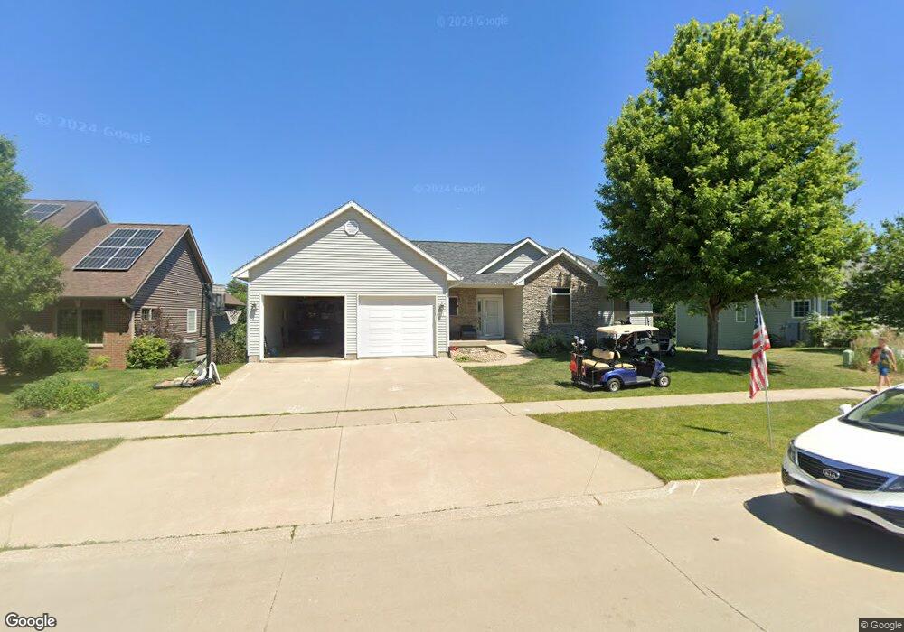
401 Gilbert Dr West Branch, IA 52358
Estimated Value: $367,000 - $463,000
--
Bed
1
Bath
1,652
Sq Ft
$257/Sq Ft
Est. Value
About This Home
This home is located at 401 Gilbert Dr, West Branch, IA 52358 and is currently estimated at $424,736, approximately $257 per square foot. 401 Gilbert Dr is a home located in Cedar County with nearby schools including Hoover Elementary School, West Branch Middle School, and West Branch High School.
Ownership History
Date
Name
Owned For
Owner Type
Purchase Details
Closed on
Jul 1, 2019
Sold by
Hierseman John and Hierseman Julie
Bought by
Sexton Randy and Sexton Kathryn
Current Estimated Value
Home Financials for this Owner
Home Financials are based on the most recent Mortgage that was taken out on this home.
Original Mortgage
$236,750
Outstanding Balance
$206,425
Interest Rate
3.9%
Mortgage Type
New Conventional
Estimated Equity
$218,311
Create a Home Valuation Report for This Property
The Home Valuation Report is an in-depth analysis detailing your home's value as well as a comparison with similar homes in the area
Home Values in the Area
Average Home Value in this Area
Purchase History
| Date | Buyer | Sale Price | Title Company |
|---|---|---|---|
| Sexton Randy | $305,000 | -- |
Source: Public Records
Mortgage History
| Date | Status | Borrower | Loan Amount |
|---|---|---|---|
| Open | Sexton Randy | $236,750 |
Source: Public Records
Tax History Compared to Growth
Tax History
| Year | Tax Paid | Tax Assessment Tax Assessment Total Assessment is a certain percentage of the fair market value that is determined by local assessors to be the total taxable value of land and additions on the property. | Land | Improvement |
|---|---|---|---|---|
| 2025 | $7,328 | $457,900 | $72,680 | $385,220 |
| 2024 | $7,328 | $441,540 | $72,680 | $368,860 |
| 2023 | $7,006 | $427,750 | $72,680 | $355,070 |
| 2022 | $6,466 | $343,310 | $52,490 | $290,820 |
| 2021 | $6,610 | $343,310 | $52,490 | $290,820 |
| 2020 | $6,400 | $335,230 | $44,410 | $290,820 |
| 2019 | $5,220 | $294,710 | $0 | $0 |
| 2018 | $5,106 | $294,710 | $0 | $0 |
| 2017 | $4,850 | $263,300 | $0 | $0 |
| 2016 | $4,826 | $263,300 | $0 | $0 |
| 2015 | $4,808 | $261,270 | $0 | $0 |
| 2014 | $4,808 | $261,270 | $0 | $0 |
Source: Public Records
Map
Nearby Homes
- 609 W Orange St
- 611 Riley Ln
- 173 Hilltop Dr
- Lot 17 Meadows Subdivision Part 5
- 719 Sullivan St
- 212 Dawson Dr
- 817 Prairie View Dr
- Lot 17 the Meadows Subdivision Part 5
- 436 Dawson Dr
- Lot 19 Meadows Subdivision Part 6
- Lot 17 Meadows Subdivision Part 6
- Lot 16 Meadows Subdivision Part 6
- Lot 18 Meadows Subdivision Part 6
- Lot 15 Meadows Subdivision Part 6
- Lot 14 Meadows Subdivision Part 6
- Lot 6 Meadows Subdivision Part 6
- Lot 12 Meadows Subdivision Part 6
- Lot 11 Meadows Subdivision Part 6
- Lot 13 Meadows Subdivision Part 6
- Lot 3 Meadows Subdivision Part 6
- 403 Gilbert Dr
- 307 Gilbert Dr
- 304 Gilbert Dr
- 601 Sullivan St
- 305 Gilbert Dr
- 600 Sullivan St
- 409 Gilbert Dr
- Lot 10 Loethen Ridge Estates
- 603 Sullivan St
- 411 Gilbert Dr
- 208 Scott Dr
- 601 Prairie View Dr
- 501 Gilbert Dr
- 212 Scott Dr
- 601 W Orange St
- 610 Prairie View Dr
- 605 Prairie View Dr
- 605 Sullivan St
- 603 W Orange St
- 600 Prairie View Dr