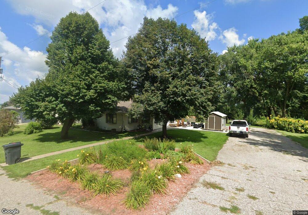
401 N 11th St Unit Q Dunlap, IA 51529
Estimated Value: $130,000 - $253,000
2
Beds
3
Baths
1,510
Sq Ft
$127/Sq Ft
Est. Value
About This Home
This home is located at 401 N 11th St Unit Q, Dunlap, IA 51529 and is currently estimated at $191,184, approximately $126 per square foot. 401 N 11th St Unit Q is a home located in Harrison County with nearby schools including Boyer Valley Elementary School and Boyer Valley Middle/High School.
Ownership History
Date
Name
Owned For
Owner Type
Purchase Details
Closed on
Aug 19, 2021
Sold by
Losh Josephine L
Bought by
Denton Todd J and Denton Ashley M
Current Estimated Value
Home Financials for this Owner
Home Financials are based on the most recent Mortgage that was taken out on this home.
Original Mortgage
$140,800
Outstanding Balance
$127,838
Interest Rate
2.8%
Mortgage Type
New Conventional
Estimated Equity
$63,346
Purchase Details
Closed on
Feb 18, 2015
Sold by
Losh Darrel D and Losh Josephine L
Bought by
Losh Josephine L and Losh Darrel D
Create a Home Valuation Report for This Property
The Home Valuation Report is an in-depth analysis detailing your home's value as well as a comparison with similar homes in the area
Home Values in the Area
Average Home Value in this Area
Purchase History
| Date | Buyer | Sale Price | Title Company |
|---|---|---|---|
| Denton Todd J | $176,000 | Richardson-Severn Law Pllc | |
| Losh Josephine L | -- | None Available |
Source: Public Records
Mortgage History
| Date | Status | Borrower | Loan Amount |
|---|---|---|---|
| Open | Denton Todd J | $140,800 |
Source: Public Records
Tax History Compared to Growth
Tax History
| Year | Tax Paid | Tax Assessment Tax Assessment Total Assessment is a certain percentage of the fair market value that is determined by local assessors to be the total taxable value of land and additions on the property. | Land | Improvement |
|---|---|---|---|---|
| 2025 | $2,614 | $170,530 | $11,340 | $159,190 |
| 2024 | $2,508 | $155,400 | $11,340 | $144,060 |
| 2023 | $2,454 | $155,400 | $11,340 | $144,060 |
| 2022 | $2,364 | $133,111 | $11,340 | $121,771 |
| 2021 | $2,364 | $132,619 | $11,340 | $121,279 |
| 2020 | $2,100 | $112,691 | $11,340 | $101,351 |
| 2019 | $1,860 | $112,691 | $11,340 | $101,351 |
| 2018 | $1,846 | $94,969 | $0 | $0 |
| 2017 | $1,902 | $94,969 | $0 | $0 |
| 2016 | $1,874 | $94,969 | $0 | $0 |
| 2015 | $1,874 | $85,557 | $0 | $0 |
| 2014 | $1,742 | $85,557 | $0 | $0 |
Source: Public Records
Map
Nearby Homes
- 1403 Eaton St
- 202 Y St
- 32055 Spruce Ave
- 1110 Street F16
- 2074 U Ave
- 2590 220th St
- 211 Brookview Dr
- 37 10th St
- 808 Park St
- 42 6th St
- 406 Weare St
- 102 Bluegrass Ln
- 101 Bluegrass Ln
- 907 Harvest Hills Dr
- 106 Bluegrass Ln
- 905 Harvest Hills Dr
- 903 Harvest Hills Dr
- 111 Ridgeline Rd
- 906 Harvest Hills Dr
- 305 Normal St
- 401 N 11th St
- 1007 Clinton St
- 1005 Clinton St
- 1101 Clinton St
- 1003 Clinton St
- 307 N 11th St
- 1001 Clinton St
- 1006 Clinton St
- 1002 Clinton St
- 308 N 11th St
- 1109 Clinton St
- 308 N 10th St
- 309 N 12th St
- 307 N 12th St
- 403 N 10th St
- 1009 Montague St
- 311 N 10th St
- 1005 Montague St
- 1007 Montague St
- 1103 Montague St