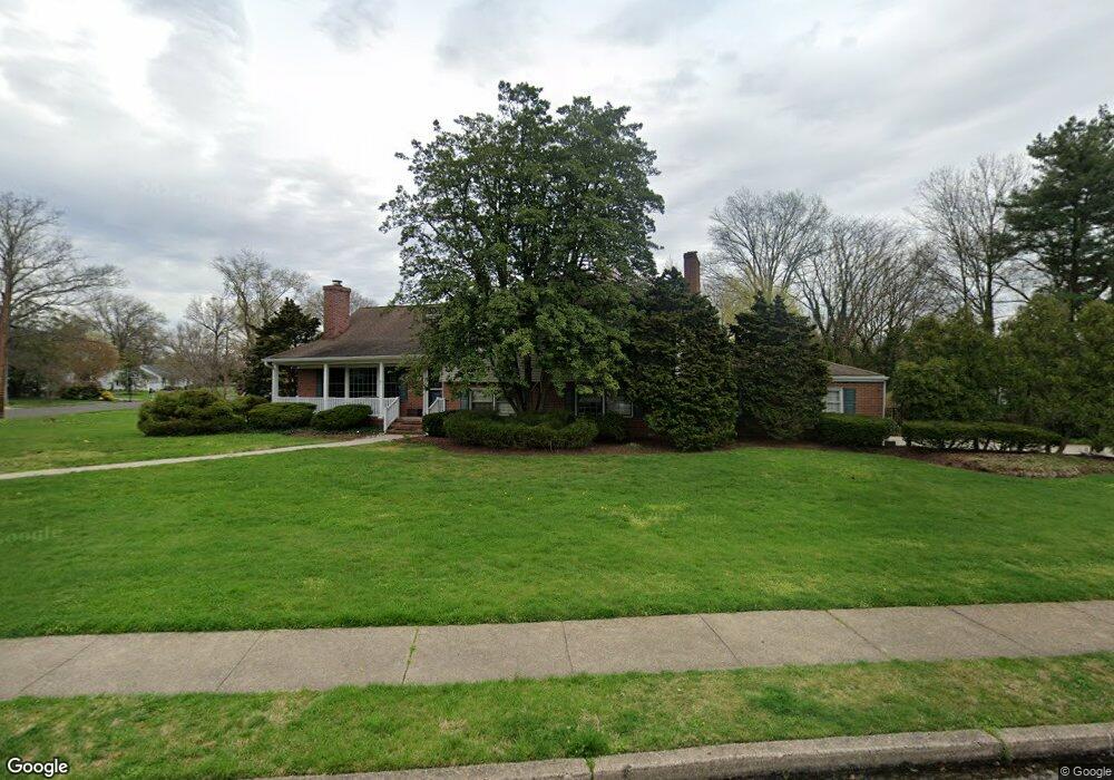
401 Parry Dr Moorestown, NJ 08057
Estimated Value: $756,000 - $1,038,000
Studio
--
Bath
3,288
Sq Ft
$267/Sq Ft
Est. Value
About This Home
This home is located at 401 Parry Dr, Moorestown, NJ 08057 and is currently estimated at $878,903, approximately $267 per square foot. 401 Parry Dr is a home located in Burlington County with nearby schools including Mary E. Roberts Elementary School, Moorestown Upper Elementary School, and William Allen Middle School.
Ownership History
Date
Name
Owned For
Owner Type
Purchase Details
Closed on
Sep 12, 1990
Bought by
Nicholson William H and Nicholson Susan K
Current Estimated Value
Create a Home Valuation Report for This Property
The Home Valuation Report is an in-depth analysis detailing your home's value as well as a comparison with similar homes in the area
Home Values in the Area
Average Home Value in this Area
Purchase History
| Date | Buyer | Sale Price | Title Company |
|---|---|---|---|
| Nicholson William H | $255,000 | -- |
Source: Public Records
Tax History
| Year | Tax Paid | Tax Assessment Tax Assessment Total Assessment is a certain percentage of the fair market value that is determined by local assessors to be the total taxable value of land and additions on the property. | Land | Improvement |
|---|---|---|---|---|
| 2025 | $13,462 | $474,500 | $209,900 | $264,600 |
| 2024 | $13,054 | $474,500 | $209,900 | $264,600 |
| 2023 | $13,054 | $474,500 | $209,900 | $264,600 |
| 2022 | $12,921 | $474,500 | $209,900 | $264,600 |
| 2021 | $9,548 | $474,500 | $209,900 | $264,600 |
| 2020 | $12,669 | $474,500 | $209,900 | $264,600 |
| 2019 | $12,446 | $474,500 | $209,900 | $264,600 |
| 2018 | $12,109 | $474,500 | $209,900 | $264,600 |
| 2017 | $12,214 | $474,500 | $209,900 | $264,600 |
| 2016 | $12,171 | $474,500 | $209,900 | $264,600 |
| 2015 | $12,024 | $474,500 | $209,900 | $264,600 |
| 2014 | $11,416 | $474,500 | $209,900 | $264,600 |
Source: Public Records
Map
Nearby Homes
- 317 S Washington Ave
- 8 S Close Unit 8
- 129 S Church St
- 10 E Close Unit 10EAST
- 22 E Close Unit 22
- 9 Haines Dr
- 15 W Close Unit 15
- 127 Schooley St
- 66 E 3rd St
- 80 E 3rd St
- 133 Plum St Unit 6
- 217 Hooton Rd
- 140 E Central Ave
- 308 Elm St
- 35 Sisters Farmstead Dr
- 444 Shady Ln
- 500 Chester Ave
- 120 Canterbury Rd
- 228 Meadow Dr
- 205 E Central Ave
- 24 Sutton Place N
- 25 E Cooper Ave
- 29 E Cooper Ave
- 28 Sutton Place N
- 19 Sutton Place N
- 316 Parry Dr
- 15 E Sutton Ave
- 312 Parry Dr
- 33 E Cooper Ave
- 32 Sutton Place N
- 308 Parry Dr
- 305 Parry Dr
- 23 Sutton Place N
- 37 E Cooper Ave
- 320 Parry Dr
- 304 Parry Dr
- 311 High St
- 21 E Cooper Ave
- 27 Sutton Place N
- 41 E Cooper Ave
Your Personal Tour Guide
Ask me questions while you tour the home.