Estimated Value: $375,000 - $728,000
5
Beds
3
Baths
1,456
Sq Ft
$392/Sq Ft
Est. Value
About This Home
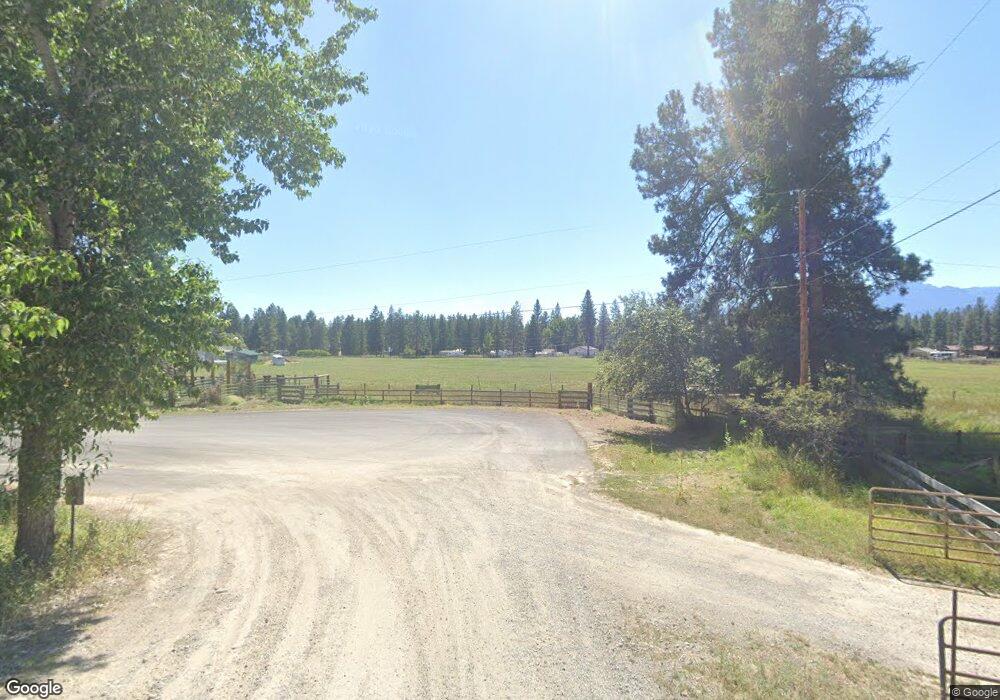
This home is located at 401 Robbe Rd, Libby, MT 59923 and is currently estimated at $571,454, approximately $392 per square foot. 401 Robbe Rd is a home located in Lincoln County with nearby schools including Libby Elementary School, Libby High School, and Kootenai Valley Christian School.
Ownership History
Date
Name
Owned For
Owner Type
Purchase Details
Closed on
Dec 8, 2020
Sold by
Road Robbe
Bought by
Wickward Kenneth Mark and Wickward Elizabeth Margaret
Current Estimated Value
Home Financials for this Owner
Home Financials are based on the most recent Mortgage that was taken out on this home.
Original Mortgage
$290,000
Outstanding Balance
$258,647
Interest Rate
2.8%
Mortgage Type
New Conventional
Estimated Equity
$312,807
Purchase Details
Closed on
May 20, 2019
Sold by
The Bank Of New York Mellon
Bought by
Fosgate Lonnie Jay
Create a Home Valuation Report for This Property
The Home Valuation Report is an in-depth analysis detailing your home's value as well as a comparison with similar homes in the area
Purchase History
| Date | Buyer | Sale Price | Title Company |
|---|---|---|---|
| Wickward Kenneth Mark | -- | First American Title Libby | |
| Fosgate Lonnie Jay | $209,895 | Mortgage Connect Lp |
Source: Public Records
Mortgage History
| Date | Status | Borrower | Loan Amount |
|---|---|---|---|
| Open | Wickward Kenneth Mark | $290,000 |
Source: Public Records
Tax History
| Year | Tax Paid | Tax Assessment Tax Assessment Total Assessment is a certain percentage of the fair market value that is determined by local assessors to be the total taxable value of land and additions on the property. | Land | Improvement |
|---|---|---|---|---|
| 2025 | $1,991 | $558,786 | $0 | $0 |
| 2024 | $2,264 | $404,500 | $0 | $0 |
| 2023 | $2,834 | $404,500 | $0 | $0 |
| 2022 | $1,873 | $295,500 | $0 | $0 |
| 2021 | $2,029 | $295,500 | $0 | $0 |
| 2020 | $2,251 | $261,600 | $0 | $0 |
| 2019 | $2,234 | $261,600 | $0 | $0 |
| 2018 | $2,114 | $240,600 | $0 | $0 |
| 2017 | $1,884 | $240,600 | $0 | $0 |
| 2016 | $2,104 | $245,200 | $0 | $0 |
| 2015 | $1,517 | $245,200 | $0 | $0 |
| 2014 | $1,622 | $132,712 | $0 | $0 |
Source: Public Records
Map
Nearby Homes
- 30 Shalom Kerry Rd
- 55 Shalom Kerry Rd
- 584 Mack Rd
- 118 Pine Grove Place
- 129 Airfield Rd
- 700 Airfield Rd
- 286 Edgewater Dr
- 185 Riverdale Dr
- 5 Eagle View Dr
- 142 Edgewater Dr
- Nhn Ramona Dr
- 3100 Kootenai River Rd
- 1165 Kootenai River Rd
- 105 Margaret Ln
- Lots 1-3 Kootenai Views Dr
- 612 W 1st St
- 703 W 1st St
- 109 W 2nd St
- 203 E 2nd St
- 2495 Kootenai River Rd
Your Personal Tour Guide
Ask me questions while you tour the home.