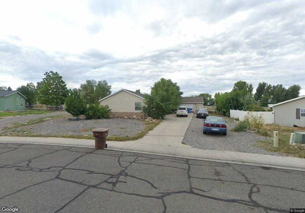
401 Silver Dr Montrose, CO 81401
Estimated Value: $416,000 - $514,708
4
Beds
2
Baths
2,014
Sq Ft
$219/Sq Ft
Est. Value
About This Home
This home is located at 401 Silver Dr, Montrose, CO 81401 and is currently estimated at $441,677, approximately $219 per square foot. 401 Silver Dr is a home located in Montrose County with nearby schools including Johnson Elementary School, Centennial Middle School, and Montrose High School.
Ownership History
Date
Name
Owned For
Owner Type
Purchase Details
Closed on
May 5, 2016
Sold by
Hawks Randy and Hawks Donna Mae
Bought by
Hawks Brenda Kae
Current Estimated Value
Home Financials for this Owner
Home Financials are based on the most recent Mortgage that was taken out on this home.
Original Mortgage
$173,000
Interest Rate
3.89%
Purchase Details
Closed on
Jan 25, 2008
Sold by
Santistevan Donald G and Santistevan Maria R
Bought by
Hawks Donna Mae and Hawks Brenda Kae
Home Financials for this Owner
Home Financials are based on the most recent Mortgage that was taken out on this home.
Original Mortgage
$5,848
Interest Rate
6.11%
Purchase Details
Closed on
Jul 2, 2002
Sold by
B O K Enterprises Llc
Bought by
Santistevan Donald G and Santistevan Maria R
Create a Home Valuation Report for This Property
The Home Valuation Report is an in-depth analysis detailing your home's value as well as a comparison with similar homes in the area
Home Values in the Area
Average Home Value in this Area
Purchase History
| Date | Buyer | Sale Price | Title Company |
|---|---|---|---|
| Hawks Brenda Kae | -- | Land Title Guarantee Co | |
| Hawks Donna Mae | $206,500 | Land Title Guarantee Company | |
| Santistevan Donald G | $34,000 | -- |
Source: Public Records
Mortgage History
| Date | Status | Borrower | Loan Amount |
|---|---|---|---|
| Previous Owner | Hawks Brenda Kae | $173,000 | |
| Previous Owner | Hawks Donna Mae | $5,848 |
Source: Public Records
Tax History Compared to Growth
Tax History
| Year | Tax Paid | Tax Assessment Tax Assessment Total Assessment is a certain percentage of the fair market value that is determined by local assessors to be the total taxable value of land and additions on the property. | Land | Improvement |
|---|---|---|---|---|
| 2024 | $1,492 | $20,700 | $3,130 | $17,570 |
| 2023 | $1,492 | $25,290 | $3,820 | $21,470 |
| 2022 | $1,136 | $16,280 | $2,780 | $13,500 |
| 2021 | $1,170 | $16,740 | $2,860 | $13,880 |
| 2020 | $1,112 | $16,360 | $2,720 | $13,640 |
| 2019 | $1,119 | $16,360 | $2,720 | $13,640 |
| 2018 | $937 | $13,350 | $2,200 | $11,150 |
| 2017 | $930 | $13,350 | $2,200 | $11,150 |
| 2016 | $870 | $12,700 | $2,200 | $10,500 |
| 2015 | $855 | $12,700 | $2,200 | $10,500 |
| 2014 | $695 | $11,040 | $2,200 | $8,840 |
Source: Public Records
Map
Nearby Homes
- 67133 Locust Rd
- 13.33 Acres Highway 50
- 2965 Locust Rd
- TBD Highway 50 Iron Horse Dr
- 13721 6700 Rd
- 13547 6700 Rd
- 761 Silver Dr
- 2091 Locust Rd
- 381 6600 Rd
- 665 6600 Rd
- 133 Castle Ave
- TBD 6600 Rd
- 67250 Locust Rd Unit 21
- 1809 Draft Horse Rd
- 12858 6700 Rd
- 1806 Galaxy Dr
- 1808 Moonlight Dr
- 1730 Moonlight Dr
- 66231 Landfill Rd
- 383 S Hillcrest Dr Unit 62