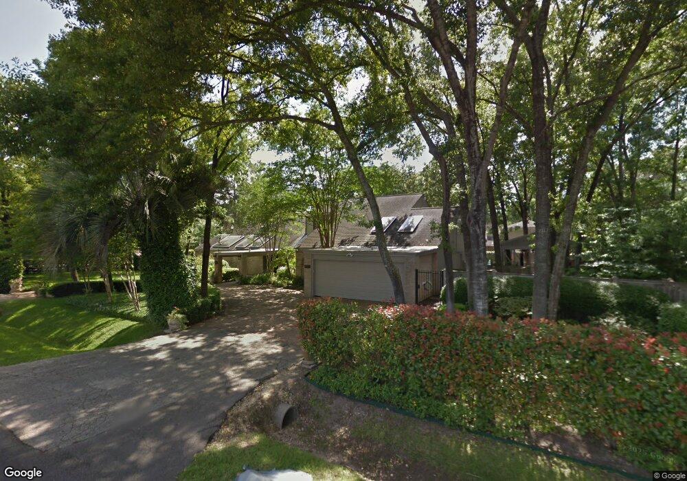
401 Tallowood Rd Houston, TX 77024
Memorial NeighborhoodEstimated Value: $1,618,947 - $2,272,000
3
Beds
5
Baths
4,546
Sq Ft
$428/Sq Ft
Est. Value
About This Home
This home is located at 401 Tallowood Rd, Houston, TX 77024 and is currently estimated at $1,946,237, approximately $428 per square foot. 401 Tallowood Rd is a home located in Harris County with nearby schools including Frostwood Elementary School, Memorial Middle, and Memorial High School.
Ownership History
Date
Name
Owned For
Owner Type
Purchase Details
Closed on
Aug 1, 1997
Sold by
Runge Barbara
Bought by
Smith Timothy J and Smith Cynthia L
Current Estimated Value
Home Financials for this Owner
Home Financials are based on the most recent Mortgage that was taken out on this home.
Original Mortgage
$285,000
Outstanding Balance
$37,038
Interest Rate
6%
Estimated Equity
$1,909,199
Purchase Details
Closed on
Mar 31, 1997
Sold by
Sonne William J
Bought by
World Svgs & Loan Assn
Create a Home Valuation Report for This Property
The Home Valuation Report is an in-depth analysis detailing your home's value as well as a comparison with similar homes in the area
Home Values in the Area
Average Home Value in this Area
Purchase History
| Date | Buyer | Sale Price | Title Company |
|---|---|---|---|
| Smith Timothy J | -- | Title Agency | |
| World Svgs & Loan Assn | -- | -- |
Source: Public Records
Mortgage History
| Date | Status | Borrower | Loan Amount |
|---|---|---|---|
| Open | Smith Timothy J | $285,000 |
Source: Public Records
Tax History Compared to Growth
Tax History
| Year | Tax Paid | Tax Assessment Tax Assessment Total Assessment is a certain percentage of the fair market value that is determined by local assessors to be the total taxable value of land and additions on the property. | Land | Improvement |
|---|---|---|---|---|
| 2025 | $10,701 | $1,247,221 | $983,112 | $264,109 |
| 2024 | $10,701 | $1,146,941 | $888,639 | $258,302 |
| 2023 | $10,701 | $1,146,941 | $888,639 | $258,302 |
| 2022 | $25,621 | $1,095,887 | $867,973 | $227,914 |
| 2021 | $27,788 | $1,138,184 | $940,304 | $197,880 |
| 2020 | $27,670 | $1,104,346 | $919,638 | $184,708 |
| 2019 | $30,203 | $1,153,687 | $960,970 | $192,717 |
| 2018 | $9,930 | $1,214,484 | $1,033,301 | $181,183 |
| 2017 | $31,600 | $1,259,840 | $1,033,301 | $226,539 |
| 2016 | $28,727 | $1,259,840 | $1,033,301 | $226,539 |
| 2015 | $15,397 | $1,170,462 | $974,255 | $196,207 |
| 2014 | $15,397 | $925,985 | $738,072 | $187,913 |
Source: Public Records
Map
Nearby Homes
- 12564 Memorial Dr
- 206 Sutton Row Place
- 211 Sutton Row Place
- 209 Sutton Row Place
- 207 Sutton Row Place
- 220 Morningside Park St
- 216 Morningside Park St
- 212 Morningside Park St
- 10 Legend Ln
- 203 Memorial Parkview Dr
- 115 Litchfield Ln
- 336 Litchfield Ln
- 12633 Memorial Dr Unit 74
- 12633 Memorial Dr Unit 177
- 12633 Memorial Dr Unit 14
- 12633 Memorial Dr Unit 51
- 12633 Memorial Dr Unit 83
- 12633 Memorial Dr Unit 72
- 12633 Memorial Dr Unit 170
- 12633 Memorial Dr Unit 236
- 12564 Memorial Dr Divide
- 417 Tallowood Rd
- 1 Legend Ln
- 12568 Memorial Dr
- 12601 Boheme Dr
- 3 Legend Ln
- 12535 Boheme Dr
- 2 Legend Ln
- 411 Wetherby Terrace
- 411 Wetherby Terrace
- 12531 Boheme Dr
- 12609 Boheme Dr
- 409 Wetherby Terrace
- 414 Hollow Dr
- 402 Hollow Dr
- 4 Legend Ln
- 407 Wetherby Terrace
- 12527 Boheme Dr
- 5 Legend Ln
- 405 Wetherby Terrace