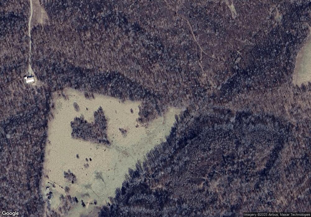
401 Upper Alsup Rd Tennessee Ridge, TN 37178
Estimated Value: $272,000 - $1,043,877
--
Bed
1
Bath
1,104
Sq Ft
$596/Sq Ft
Est. Value
About This Home
This home is located at 401 Upper Alsup Rd, Tennessee Ridge, TN 37178 and is currently estimated at $657,939, approximately $595 per square foot. 401 Upper Alsup Rd is a home located in Stewart County with nearby schools including Dover Elementary School, Stewart County Middle School, and Stewart County High School.
Ownership History
Date
Name
Owned For
Owner Type
Purchase Details
Closed on
Sep 16, 2002
Bought by
Elwick Mabel E
Current Estimated Value
Purchase Details
Closed on
Oct 20, 2000
Bought by
Elwick Mabel E
Purchase Details
Closed on
Oct 10, 1997
Bought by
Elwick Mabel E
Purchase Details
Closed on
Jul 13, 1955
Bought by
Elwick Henry
Purchase Details
Closed on
Aug 24, 1950
Purchase Details
Closed on
Jan 10, 1948
Purchase Details
Closed on
Jan 4, 1900
Create a Home Valuation Report for This Property
The Home Valuation Report is an in-depth analysis detailing your home's value as well as a comparison with similar homes in the area
Home Values in the Area
Average Home Value in this Area
Purchase History
| Date | Buyer | Sale Price | Title Company |
|---|---|---|---|
| Elwick Mabel E | $250,000 | -- | |
| Elwick Mabel E | -- | -- | |
| Elwick Mabel E | -- | -- | |
| Elwick Henry | -- | -- | |
| -- | -- | -- | |
| -- | -- | -- | |
| -- | -- | -- |
Source: Public Records
Tax History Compared to Growth
Tax History
| Year | Tax Paid | Tax Assessment Tax Assessment Total Assessment is a certain percentage of the fair market value that is determined by local assessors to be the total taxable value of land and additions on the property. | Land | Improvement |
|---|---|---|---|---|
| 2024 | $981 | $65,975 | $49,650 | $16,325 |
| 2023 | $1,207 | $51,125 | $41,250 | $9,875 |
| 2022 | $1,207 | $51,125 | $41,250 | $9,875 |
| 2021 | $1,207 | $51,125 | $41,250 | $9,875 |
| 2020 | $1,173 | $51,125 | $41,250 | $9,875 |
| 2019 | $1,173 | $46,025 | $33,950 | $12,075 |
| 2018 | $1,283 | $50,325 | $38,250 | $12,075 |
| 2017 | $1,283 | $50,325 | $38,250 | $12,075 |
| 2016 | $1,173 | $46,025 | $33,950 | $12,075 |
| 2015 | $1,137 | $46,025 | $33,950 | $12,075 |
| 2014 | $1,064 | $46,025 | $33,950 | $12,075 |
| 2013 | $1,064 | $43,067 | $0 | $0 |
Source: Public Records
Map
Nearby Homes
- 193 A W Schmidt Rd
- 0 Old Lockhart Rd
- 104 Oak Crest Dr
- 187 Oak Crest Dr
- 169 Oak Crest Dr
- 745 Moore Hollow Rd
- 1950 Old Stewart Rd
- 0 Taylor Cir Unit RTC2764401
- 0 Taylor Cir Unit RTC2764358
- 0 Taylor Cir Unit RTC2764385
- 0 Taylor Cir Unit RTC2764390
- 0 Carl Taylor Rd
- 0 Taylor St Unit RTC2764409
- 0 Taylor St Unit RTC2764404
- 0 Taylor St Unit RTC2764411
- 0 Taylor St Unit RTC2764420
- 0 Taylor St Unit RTC2764418
- 0 Taylor St Unit RTC2764423
- 0 Taylor St Unit RTC2764415
- 793 Preston Baggett Rd
- 358 Upper Alsup Rd
- 457 Upper Alsup Rd Unit 463
- 314 Upper Alsup Rd
- 0 Upper Alsup Rd
- 451 Upper Alsup Rd
- 198 A W Schmidt Rd
- 196 A W Schmidt Rd Unit 193
- 547 Upper Alsup Rd
- 291 Upper Alsup Rd
- 287 Upper Alsup Rd
- 0 Tbd Old Hwy 18
- 4924 Highway 49
- 214 Upper Alsup Rd
- 141 A W Schmidt Rd
- 189 Upper Alsup Rd
- 190 Upper Alsup Rd
- 144 Upper Alsup Rd
