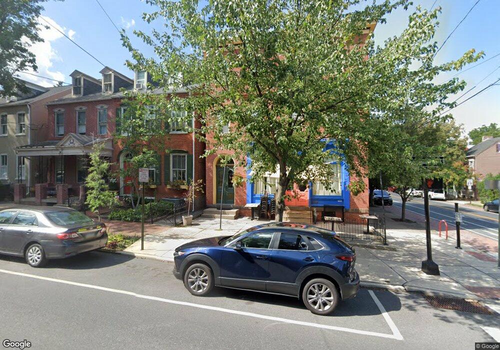
401 W Walnut St Lancaster, PA 17603
Chestnut Hill NeighborhoodEstimated Value: $1,323,236
4
Beds
2
Baths
5,284
Sq Ft
$250/Sq Ft
Est. Value
About This Home
This home is located at 401 W Walnut St, Lancaster, PA 17603 and is currently estimated at $1,323,236, approximately $250 per square foot. 401 W Walnut St is a home with nearby schools including Thomas Wharton Elementary School, Reynolds Middle School, and McCaskey High School.
Ownership History
Date
Name
Owned For
Owner Type
Purchase Details
Closed on
Aug 10, 2017
Sold by
Whittle Danny F and Whittle Nancy S
Bought by
Rahal Tofi and Rahal Shahrazad
Current Estimated Value
Purchase Details
Closed on
Mar 29, 2006
Sold by
Duschl John J and Duschl Joanne L
Bought by
Whittle Danny F and Whittle Nancy S
Home Financials for this Owner
Home Financials are based on the most recent Mortgage that was taken out on this home.
Original Mortgage
$225,000
Interest Rate
6.32%
Mortgage Type
Commercial
Create a Home Valuation Report for This Property
The Home Valuation Report is an in-depth analysis detailing your home's value as well as a comparison with similar homes in the area
Home Values in the Area
Average Home Value in this Area
Purchase History
| Date | Buyer | Sale Price | Title Company |
|---|---|---|---|
| Rahal Tofi | $650,000 | None Available | |
| Whittle Danny F | $325,000 | None Available |
Source: Public Records
Mortgage History
| Date | Status | Borrower | Loan Amount |
|---|---|---|---|
| Previous Owner | Whittle Danny F | $225,000 |
Source: Public Records
Tax History Compared to Growth
Tax History
| Year | Tax Paid | Tax Assessment Tax Assessment Total Assessment is a certain percentage of the fair market value that is determined by local assessors to be the total taxable value of land and additions on the property. | Land | Improvement |
|---|---|---|---|---|
| 2025 | $11,206 | $283,200 | $45,000 | $238,200 |
| 2024 | $11,206 | $283,200 | $45,000 | $238,200 |
| 2023 | $11,018 | $283,200 | $45,000 | $238,200 |
| 2022 | $10,559 | $283,200 | $45,000 | $238,200 |
| 2021 | $10,332 | $283,200 | $45,000 | $238,200 |
| 2020 | $10,332 | $283,200 | $45,000 | $238,200 |
| 2019 | $10,178 | $283,200 | $45,000 | $238,200 |
| 2018 | $6,040 | $283,200 | $45,000 | $238,200 |
| 2016 | $8,911 | $195,800 | $26,300 | $169,500 |
| 2015 | $3,476 | $195,800 | $26,300 | $169,500 |
| 2014 | $7,777 | $195,800 | $26,300 | $169,500 |
Source: Public Records
Map
Nearby Homes
- 245 Lancaster Ave
- 512 W Walnut St
- 335 W Walnut St
- 228 N Mary St
- 402 W Lemon St
- 315 W Walnut St
- 510 W Chestnut St
- 409 Lancaster Ave
- 441 Chambers St
- 514 W Orange St
- 28 N Charlotte St
- 353 N Arch St
- 212 W Chestnut St
- 32 N Concord St
- 210 W Lemon St
- 515 W James St
- 658 W Walnut St
- 27 N Mulberry St
- 623 Marietta Ave
- 529 N Mary St
- 401 W Walnut St Unit BLDG 2 REAR- APT 2
- 401 W Walnut St Unit 3
- 403 W Walnut St
- 405 W Walnut St
- 407 W Walnut St
- 409 W Walnut St
- 351 W Walnut St
- 400 W Walnut St
- 411 W Walnut St
- 250 N Charlotte St
- 349 W Walnut St
- 413 W Walnut St
- 316 N Charlotte St
- 347 W Walnut St
- 248 N Charlotte St
- 415 W Walnut St
- 412 W Walnut St
- 309 N Charlotte St
- 414 W Walnut St
- 417 W Walnut St