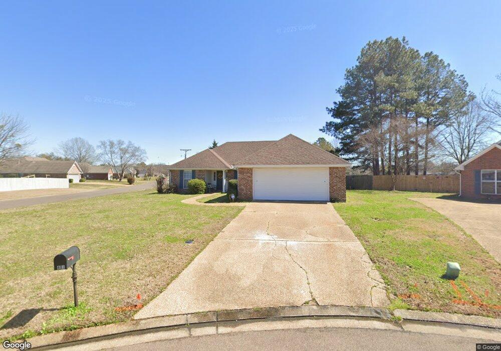
401 Westport Way Flowood, MS 39232
Estimated Value: $261,000 - $290,000
3
Beds
2
Baths
--
Sq Ft
10,759
Sq Ft Lot
About This Home
This home is located at 401 Westport Way, Flowood, MS 39232 and is currently estimated at $276,394. 401 Westport Way is a home located in Rankin County with nearby schools including Flowood Elementary School, Northwest Rankin Middle School, and Northwest Rankin High School.
Ownership History
Date
Name
Owned For
Owner Type
Purchase Details
Closed on
Sep 9, 2019
Sold by
Still-Well Elizabeth H
Bought by
Burneese Properties Llc
Current Estimated Value
Purchase Details
Closed on
Feb 12, 2007
Sold by
Stillwell Elizabeth Hoxie and Hoxie Elizabeth W
Bought by
Stillwell Elizabeth Hoxie
Create a Home Valuation Report for This Property
The Home Valuation Report is an in-depth analysis detailing your home's value as well as a comparison with similar homes in the area
Home Values in the Area
Average Home Value in this Area
Purchase History
| Date | Buyer | Sale Price | Title Company |
|---|---|---|---|
| Burneese Properties Llc | -- | -- | |
| Stillwell Elizabeth Hoxie | -- | -- |
Source: Public Records
Tax History Compared to Growth
Tax History
| Year | Tax Paid | Tax Assessment Tax Assessment Total Assessment is a certain percentage of the fair market value that is determined by local assessors to be the total taxable value of land and additions on the property. | Land | Improvement |
|---|---|---|---|---|
| 2024 | $2,748 | $23,381 | $0 | $0 |
| 2023 | $2,700 | $22,971 | $0 | $0 |
| 2022 | $2,665 | $22,971 | $0 | $0 |
| 2021 | $2,665 | $22,971 | $0 | $0 |
| 2020 | $2,665 | $22,971 | $0 | $0 |
| 2019 | $745 | $13,773 | $0 | $0 |
| 2018 | $733 | $13,773 | $0 | $0 |
| 2017 | $733 | $13,773 | $0 | $0 |
| 2016 | $676 | $13,549 | $0 | $0 |
| 2015 | $676 | $13,549 | $0 | $0 |
| 2014 | $663 | $13,549 | $0 | $0 |
| 2013 | -- | $13,549 | $0 | $0 |
Source: Public Records
Map
Nearby Homes
- 417 Westport Way
- 614 Summer Place
- 208 Woodgreen Cove
- 305 Hemlock Dr
- 205 Meadow Lark Dr
- No Old Fannin Rd
- 414 Pelican Way
- 2030 Stockton Place
- 309 Audubon Cir
- 2012 Bayberry Dr
- 2004 Bayberry Dr
- 311 Longleaf Dr
- 214 Falcon Cove
- 0 Liberty Rd Unit 4118646
- 720 Independence Blvd
- 424 Timber Ridge Way
- 188 Webb Ln
- 2280 Lakeland Dr
- 0 Waterpointe Dr Unit 4120894
- 503 Harper Cove
- 403 Westport Way
- 529 Laurelwood Dr
- 412 Westport Way
- 405 Westport Way
- 527 Laurelwood Dr
- 528 Laurelwood Dr
- 409 Westport Way
- 407 Westport Way
- 411 Westport Way
- 414 Westport Way
- 413 Westport Way
- 526 Laurelwood Dr
- 525 Laurelwood Dr
- 415 Westport Way
- 416 Westport Way
- 524 Laurelwood Dr
- 523 Laurelwood Dr
- 417 Wesport Way
- 303 Evergreen Ct
- 303 Evergreen Ct