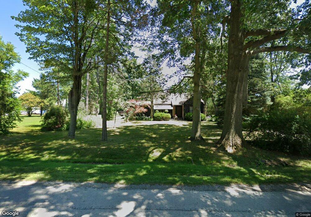
4010 Rock Spring Rd Rootstown, OH 44272
Estimated Value: $224,000 - $270,000
4
Beds
1
Bath
2,394
Sq Ft
$99/Sq Ft
Est. Value
About This Home
This home is located at 4010 Rock Spring Rd, Rootstown, OH 44272 and is currently estimated at $237,647, approximately $99 per square foot. 4010 Rock Spring Rd is a home located in Portage County with nearby schools including Southeast High School.
Ownership History
Date
Name
Owned For
Owner Type
Purchase Details
Closed on
Jan 8, 2009
Sold by
Hilliard Susan and Hilliard Brent
Bought by
Hilliard Brent and Hilliard Susan
Current Estimated Value
Home Financials for this Owner
Home Financials are based on the most recent Mortgage that was taken out on this home.
Original Mortgage
$65,000
Outstanding Balance
$40,770
Interest Rate
5.53%
Mortgage Type
Stand Alone Refi Refinance Of Original Loan
Estimated Equity
$196,877
Purchase Details
Closed on
Jan 1, 1990
Bought by
Mordew Roger A
Create a Home Valuation Report for This Property
The Home Valuation Report is an in-depth analysis detailing your home's value as well as a comparison with similar homes in the area
Purchase History
| Date | Buyer | Sale Price | Title Company |
|---|---|---|---|
| Hilliard Brent | -- | Service Link | |
| Mordew Roger A | -- | -- |
Source: Public Records
Mortgage History
| Date | Status | Borrower | Loan Amount |
|---|---|---|---|
| Open | Hilliard Brent | $65,000 |
Source: Public Records
Tax History
| Year | Tax Paid | Tax Assessment Tax Assessment Total Assessment is a certain percentage of the fair market value that is determined by local assessors to be the total taxable value of land and additions on the property. | Land | Improvement |
|---|---|---|---|---|
| 2025 | $2,911 | $78,650 | $5,080 | $73,570 |
| 2024 | $2,843 | $78,650 | $5,080 | $73,570 |
| 2023 | $1,979 | $48,970 | $4,380 | $44,590 |
| 2022 | $2,053 | $48,970 | $4,380 | $44,590 |
| 2021 | $2,070 | $48,970 | $4,380 | $44,590 |
| 2020 | $1,852 | $42,110 | $3,990 | $38,120 |
| 2019 | $1,857 | $42,110 | $3,990 | $38,120 |
| 2018 | $1,498 | $31,960 | $3,850 | $28,110 |
| 2017 | $1,498 | $31,960 | $3,850 | $28,110 |
| 2016 | $1,492 | $31,960 | $3,850 | $28,110 |
| 2015 | $1,429 | $31,960 | $3,850 | $28,110 |
| 2014 | $1,391 | $30,380 | $3,850 | $26,530 |
| 2013 | $1,355 | $30,380 | $3,850 | $26,530 |
Source: Public Records
Map
Nearby Homes
- 3798 State Route 183
- 6747 Giddings Rd
- 3545 Porter Rd
- 4087 Industry
- 2639 Ohio 183
- 0 Tallmadge Rd Unit 5189301
- 0 Tallmadge Rd Unit 5189314
- 8464 & 8446 Tallmadge Rd
- 8492 & 8476 Tallmadge Rd
- 4200 Hattrick Rd
- 0 John Thomas
- 6605 State Route 5
- 0 Wayland Rd Unit 5191883
- 941 Porter Rd
- 6399 Newton Falls Rd
- 4958 Bassett Rd
- 2434 Taft Ave
- 4691 Scenic Dr
- 0 Yale Rd Unit 5190725
- 4415 Farmette Dr
- 4010 Rock Spring Rd
- 9999 Wilkes Rd Unit 2
- 9999 Wilkes Rd Unit 3
- 9999 Wilkes Rd Unit lot 5
- 9999 Wilkes Rd Unit lot 2
- 4013 Rock Spring Rd
- 4034 Rock Spring Rd
- 4177 Ohio 14
- 4027 Rock Spring Rd
- 4027 Rock Spring Rd
- 4037 Rock Spring Rd
- 3948 State Route 14
- 0 St Rt 14 Unit 3419814
- 0 St Rt 14 Unit 1082967
- 0 St Rt 14 Unit 9087923
- 0 St Rt 14 Unit 9094588
- V/L R15 Ohio 14
- V/L R13 Ohio 14
- 6886 Tallmadge Rd
- 6851 Tallmadge Rd
Your Personal Tour Guide
Ask me questions while you tour the home.