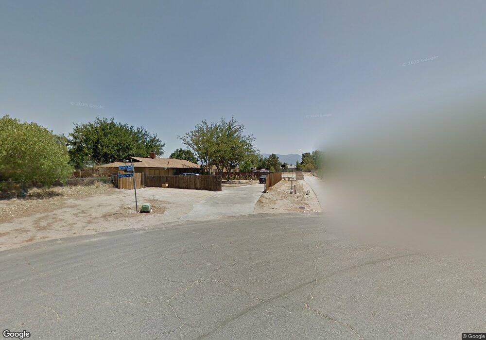
40100 179th St E Palmdale, CA 93591
Estimated Value: $365,092 - $424,000
4
Beds
2
Baths
1,248
Sq Ft
$310/Sq Ft
Est. Value
About This Home
This home is located at 40100 179th St E, Palmdale, CA 93591 and is currently estimated at $387,023, approximately $310 per square foot. 40100 179th St E is a home located in Los Angeles County with nearby schools including Vista San Gabriel Elementary School, Challenger Middle School, and Littlerock High School.
Ownership History
Date
Name
Owned For
Owner Type
Purchase Details
Closed on
Oct 30, 2009
Sold by
Federal National Mortgage Association
Bought by
Rojas Carlos Jaime Garcia
Current Estimated Value
Purchase Details
Closed on
Aug 21, 2009
Sold by
Munyon David
Bought by
Federal National Mortgage Association
Purchase Details
Closed on
Aug 31, 2006
Sold by
Gehring Richard E and Gehring Norma M
Bought by
Munyon David
Home Financials for this Owner
Home Financials are based on the most recent Mortgage that was taken out on this home.
Original Mortgage
$114,700
Interest Rate
6.53%
Mortgage Type
Seller Take Back
Purchase Details
Closed on
Jun 28, 2002
Sold by
Gehring Richard Edward and Gehring Norma Marie
Bought by
Gehring Richard E
Create a Home Valuation Report for This Property
The Home Valuation Report is an in-depth analysis detailing your home's value as well as a comparison with similar homes in the area
Home Values in the Area
Average Home Value in this Area
Purchase History
| Date | Buyer | Sale Price | Title Company |
|---|---|---|---|
| Rojas Carlos Jaime Garcia | $52,000 | First American Title Ins Co | |
| Federal National Mortgage Association | $149,913 | None Available | |
| Munyon David | $114,700 | Chicago Title Co | |
| Gehring Richard E | -- | -- | |
| Gehring Richard E | -- | -- |
Source: Public Records
Mortgage History
| Date | Status | Borrower | Loan Amount |
|---|---|---|---|
| Previous Owner | Munyon David | $114,700 |
Source: Public Records
Tax History Compared to Growth
Tax History
| Year | Tax Paid | Tax Assessment Tax Assessment Total Assessment is a certain percentage of the fair market value that is determined by local assessors to be the total taxable value of land and additions on the property. | Land | Improvement |
|---|---|---|---|---|
| 2025 | $2,811 | $222,968 | $63,478 | $159,490 |
| 2024 | $2,811 | $218,597 | $62,234 | $156,363 |
| 2023 | $2,773 | $214,312 | $61,014 | $153,298 |
| 2022 | $1,012 | $63,239 | $12,643 | $50,596 |
| 2021 | $987 | $62,000 | $12,396 | $49,604 |
| 2020 | $966 | $61,365 | $12,269 | $49,096 |
| 2019 | $956 | $60,163 | $12,029 | $48,134 |
| 2018 | $934 | $58,985 | $11,794 | $47,191 |
| 2017 | $919 | $57,829 | $11,563 | $46,266 |
| 2016 | $872 | $56,696 | $11,337 | $45,359 |
| 2015 | $860 | $55,845 | $11,167 | $44,678 |
| 2014 | $870 | $54,752 | $10,949 | $43,803 |
Source: Public Records
Map
Nearby Homes
- 17855 Lakespring Ave
- 30720200 179th St E
- 40125 178th St E
- 40166 178th St E
- 0 181 Ste Ave Unit 25003099
- 0 Highacres Ave Unit 202505034
- 0 179th St E Unit SR25187149
- 0 Lakespring Ave Unit 24006069
- 175 Cor Ave W4 Drt 175 Ste
- 0 Vac Vic Ave R6 225 Ste Unit 25008232
- 0 Vac Vic Ave R6 225 Ste Unit JT25245271
- 170 Th St Ave
- 30740210 Palmdale
- 0 Avenue M8 125st E Ca Unit IV25239695
- 0 Vac Palmdale Blvd Unit SW25239068
- 30730180 Palmdale
- 0 Vac Vic Avenue W5 243 Unit SR25234490
- 0 E Ave N-12 Unit 25007803
- 0 E Ave P-12 Unit 25007681
- 0 E Ave P-12 Unit IV25230802
- 40104 179th St E
- 17836 Highacres Ave
- 40106 179th St E
- 17828 Highacres Ave
- 17867 Lakespring Ave
- 40108 179th St E
- 17816 Highacres Ave
- 40111 179th St E
- 17869 Lakespring Ave
- 17865 Lakespring Ave
- Vac Cor 180th St E
- 17845 Lakespring Ave
- 40116 179th St E
- 17808 Highacres Ave
- 17835 Lakespring Ave
- 39938 179th St E
- 40131 179th St E
- 17860 Lakespring Ave
- 40134 179th St E
- 17800 Highacres Ave