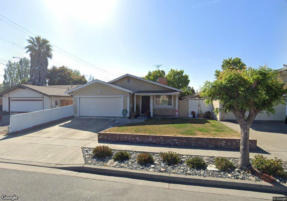
4012 Gordon St Fremont, CA 94555
Northgate-Union City NeighborhoodEstimated Value: $1,448,287 - $1,624,000
3
Beds
2
Baths
1,549
Sq Ft
$986/Sq Ft
Est. Value
About This Home
This home is located at 4012 Gordon St, Fremont, CA 94555 and is currently estimated at $1,527,322, approximately $986 per square foot. 4012 Gordon St is a home located in Alameda County with nearby schools including Patterson Elementary School, Thornton Middle School, and American High School.
Ownership History
Date
Name
Owned For
Owner Type
Purchase Details
Closed on
Dec 5, 2011
Sold by
Lam Ying Keung and Ren Jie Ying
Bought by
Ren Jie Ying and Lam Ying Keung
Current Estimated Value
Home Financials for this Owner
Home Financials are based on the most recent Mortgage that was taken out on this home.
Original Mortgage
$320,000
Interest Rate
3.94%
Mortgage Type
New Conventional
Create a Home Valuation Report for This Property
The Home Valuation Report is an in-depth analysis detailing your home's value as well as a comparison with similar homes in the area
Home Values in the Area
Average Home Value in this Area
Purchase History
| Date | Buyer | Sale Price | Title Company |
|---|---|---|---|
| Ren Jie Ying | -- | First American Title Company |
Source: Public Records
Mortgage History
| Date | Status | Borrower | Loan Amount |
|---|---|---|---|
| Closed | Ren Jie Ying | $320,000 |
Source: Public Records
Tax History Compared to Growth
Tax History
| Year | Tax Paid | Tax Assessment Tax Assessment Total Assessment is a certain percentage of the fair market value that is determined by local assessors to be the total taxable value of land and additions on the property. | Land | Improvement |
|---|---|---|---|---|
| 2025 | $4,933 | $370,395 | $113,629 | $263,766 |
| 2024 | $4,933 | $362,996 | $111,401 | $258,595 |
| 2023 | $4,788 | $362,742 | $109,217 | $253,525 |
| 2022 | $4,707 | $348,630 | $107,076 | $248,554 |
| 2021 | $4,595 | $341,657 | $104,976 | $243,681 |
| 2020 | $4,549 | $345,084 | $103,900 | $241,184 |
| 2019 | $4,499 | $338,320 | $101,864 | $236,456 |
| 2018 | $4,408 | $331,686 | $99,866 | $231,820 |
| 2017 | $4,297 | $325,183 | $97,908 | $227,275 |
| 2016 | $4,214 | $318,808 | $95,989 | $222,819 |
| 2015 | $4,149 | $314,020 | $94,547 | $219,473 |
| 2014 | $4,070 | $307,871 | $92,696 | $215,175 |
Source: Public Records
Map
Nearby Homes
- 3840 Springfield Common
- 34552 Nantucket Common
- 34512 Nantucket Common
- 4015 Clydesdale Common
- 3851 Milton Terrace
- 34179 Bowling Green Common
- 34579 Bluestone Common
- 34656 Greenstone Common
- 4243 Nerissa Cir
- 4512 Macbeth Ave
- 3691 Thrush Terrace
- 34233 Atteridge Place
- 34917 Sea Cliff Terrace
- 4744 Touchstone Terrace
- 3480 Oriole Place
- 33911 Mello Way
- 4141 Deep Creek Rd Unit 137
- 34768 Swain Common
- 33283 Sunriver Common
- 34627 Pueblo Terrace
- 4024 Gordon St
- 4000 Gordon St
- 4036 Gordon St
- 34323 Russell Ct
- 34324 Parker Ct
- 34311 Russell Ct
- 4048 Gordon St
- 4017 Coralline Ct
- 34312 Parker Ct
- 4031 Coralline Ct
- 34301 Russell Ct
- 4064 Gordon St
- 4047 Coralline Ct
- 34323 Parker Ct
- 34302 Parker Ct
- 4003 Coralline Ct
- 4063 Coralline Ct
- 34326 Fremont Blvd
- 34311 Parker Ct
- 4076 Gordon St