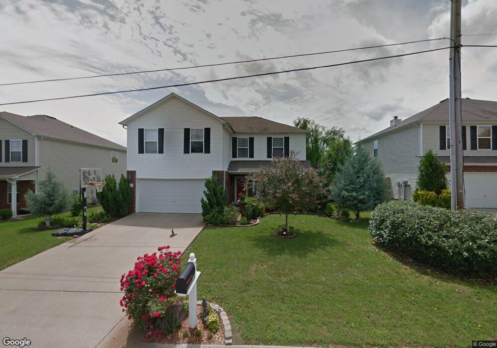
4012 Randall Ln Thompsons Station, TN 37179
Estimated Value: $432,180 - $467,000
--
Bed
3
Baths
2,056
Sq Ft
$219/Sq Ft
Est. Value
About This Home
This home is located at 4012 Randall Ln, Thompsons Station, TN 37179 and is currently estimated at $450,795, approximately $219 per square foot. 4012 Randall Ln is a home located in Williamson County with nearby schools including Primrose School of Spring Hill.
Ownership History
Date
Name
Owned For
Owner Type
Purchase Details
Closed on
Jan 10, 2005
Sold by
Centex Homes
Bought by
Cooper Mary F
Current Estimated Value
Home Financials for this Owner
Home Financials are based on the most recent Mortgage that was taken out on this home.
Original Mortgage
$116,572
Outstanding Balance
$58,700
Interest Rate
5.71%
Mortgage Type
Purchase Money Mortgage
Estimated Equity
$392,095
Create a Home Valuation Report for This Property
The Home Valuation Report is an in-depth analysis detailing your home's value as well as a comparison with similar homes in the area
Home Values in the Area
Average Home Value in this Area
Purchase History
| Date | Buyer | Sale Price | Title Company |
|---|---|---|---|
| Cooper Mary F | $146,715 | Heritage Title |
Source: Public Records
Mortgage History
| Date | Status | Borrower | Loan Amount |
|---|---|---|---|
| Open | Cooper Mary F | $116,572 |
Source: Public Records
Tax History Compared to Growth
Tax History
| Year | Tax Paid | Tax Assessment Tax Assessment Total Assessment is a certain percentage of the fair market value that is determined by local assessors to be the total taxable value of land and additions on the property. | Land | Improvement |
|---|---|---|---|---|
| 2024 | $518 | $70,150 | $18,750 | $51,400 |
| 2023 | $518 | $70,150 | $18,750 | $51,400 |
| 2022 | $1,284 | $70,150 | $18,750 | $51,400 |
| 2021 | $1,284 | $70,150 | $18,750 | $51,400 |
| 2020 | $1,084 | $50,175 | $11,250 | $38,925 |
| 2019 | $1,084 | $50,175 | $11,250 | $38,925 |
| 2018 | $1,049 | $50,175 | $11,250 | $38,925 |
| 2017 | $1,039 | $50,175 | $11,250 | $38,925 |
| 2016 | $0 | $50,175 | $11,250 | $38,925 |
| 2015 | -- | $37,025 | $8,750 | $28,275 |
| 2014 | -- | $37,025 | $8,750 | $28,275 |
Source: Public Records
Map
Nearby Homes
- 462 Buckwood Ave W
- 2131 Carlton Ln
- 466 Buckwood Ave W
- 454 Buckwood Ave E
- 458 Buckwood Ave W
- 311 Buckwood Ln N
- 452 Buckwood Ave W
- 465 Buckwood Ave
- 467 Buckwood Ave E
- 457 Buckwood Ave E
- 303 Buckwood Ln
- 450 Buckwood Ave W
- 321 Buckwood Ln N
- 440 Buckwood Ave W
- Charleville Plan at Emberly
- Belmont Plan at Emberly
- Corsair Plan at Emberly
- Magnolia Plan at Emberly
- Harpeth Plan at Emberly
- 461 Buckwood Ave E
- 4014 Randall Ln
- 4010 Randall Ln
- 2691 New Port Royal Rd
- 2689 New Port Royal Rd
- 4008 Randall Ln
- 4016 Randall Ln
- 2693 New Port Royal Rd
- 5001 Hancock Cir
- 2687 New Port Royal Rd
- 4011 Randall Ln
- 4009 Randall Ln
- 2695 New Port Royal Rd
- 4006 Randall Ln
- 4018 Randall Ln
- 4007 Randall Ln
- 2685 New Port Royal Rd
- 5003 Hancock Cir
- 4005 Randall Ln
- 2697 New Port Royal Rd
- 4005 Randall Ln