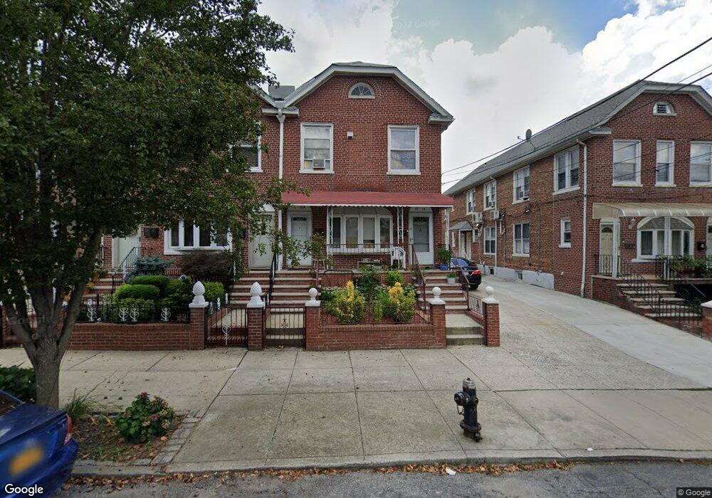
4014 201st St Bayside, NY 11361
Auburndale NeighborhoodEstimated Value: $1,506,000 - $1,671,705
Studio
--
Bath
2,640
Sq Ft
$606/Sq Ft
Est. Value
About This Home
This home is located at 4014 201st St, Bayside, NY 11361 and is currently estimated at $1,599,426, approximately $605 per square foot. 4014 201st St is a home located in Queens County with nearby schools including P.S. 31 - Bayside, I.S. 25 Adrien Block, and Francis Lewis High School.
Ownership History
Date
Name
Owned For
Owner Type
Purchase Details
Closed on
Sep 30, 2010
Sold by
Pak Richard R and Pak Shin Hi
Bought by
Yu Ka Fai and Yu Ka Lok
Current Estimated Value
Purchase Details
Closed on
May 13, 2005
Sold by
Caputo Joseph and Caputo Michael
Bought by
Caputo Gloria and Caputo Michael
Home Financials for this Owner
Home Financials are based on the most recent Mortgage that was taken out on this home.
Original Mortgage
$499,000
Interest Rate
5.94%
Mortgage Type
Purchase Money Mortgage
Purchase Details
Closed on
Jun 4, 2003
Sold by
Caputo Gloria and Caputo Michael
Bought by
Caputo Joseph and Caputo Michael
Create a Home Valuation Report for This Property
The Home Valuation Report is an in-depth analysis detailing your home's value as well as a comparison with similar homes in the area
Home Values in the Area
Average Home Value in this Area
Purchase History
| Date | Buyer | Sale Price | Title Company |
|---|---|---|---|
| Yu Ka Fai | $915,000 | -- | |
| Yu Ka Fai | $915,000 | -- | |
| Caputo Gloria | -- | -- | |
| Pak Richard | $770,000 | -- | |
| Caputo Gloria | -- | -- | |
| Caputo Joseph | -- | -- | |
| Caputo Joseph | -- | -- |
Source: Public Records
Mortgage History
| Date | Status | Borrower | Loan Amount |
|---|---|---|---|
| Previous Owner | Pak Richard | $499,000 |
Source: Public Records
Tax History
| Year | Tax Paid | Tax Assessment Tax Assessment Total Assessment is a certain percentage of the fair market value that is determined by local assessors to be the total taxable value of land and additions on the property. | Land | Improvement |
|---|---|---|---|---|
| 2025 | $12,695 | $64,495 | $11,191 | $53,304 |
| 2024 | $12,695 | $63,204 | $12,326 | $50,878 |
| 2023 | $12,004 | $59,764 | $9,911 | $49,853 |
| 2022 | $11,330 | $80,160 | $15,960 | $64,200 |
| 2021 | $11,311 | $77,940 | $15,960 | $61,980 |
| 2020 | $11,376 | $82,260 | $15,960 | $66,300 |
| 2019 | $11,018 | $70,440 | $15,960 | $54,480 |
| 2018 | $9,855 | $49,803 | $12,278 | $37,525 |
| 2017 | $9,341 | $47,294 | $10,761 | $36,533 |
| 2016 | $8,644 | $47,294 | $10,761 | $36,533 |
| 2015 | $5,161 | $44,788 | $15,861 | $28,927 |
| 2014 | $5,161 | $43,892 | $16,970 | $26,922 |
Source: Public Records
Map
Nearby Homes
- 40-41 202nd St
- 4005 203rd St
- 36- 40 201st St Unit A, B, C
- 195-31 39th Ave
- 37-6 Francis Lewis Blvd
- 37-08 Francis Lewis Blvd
- 37-02 Francis Lewis Blvd
- 195-33 39th Ave
- 194-23 Station Rd
- 4032 195th St
- 42-36 201st St
- 20410 42nd Ave
- 38-22 Clearview Expy
- 40-38 194th St Unit 1A
- 4038 194th St Unit 3B
- 4048 194th St Unit A3
- 3617 194th St
- 193-02 39th Ave Unit 1
- 20403 36th Ave Unit 397
- 35-27 203rd St
- 4010 201st St
- 4010 201st St
- 4008 201st St
- 4004 201st St
- 4016 201st St
- 4020 201st St
- 4002 201st St
- 4020 201st St
- 4015 Francis Lewis Blvd
- 40-11 Francis Lewis Blvd
- 4011 Francis Lewis Blvd
- 40-09 Francis Lewis Blvd
- 4015 Francis Lewis Blvd
- 4009 Francis Lewis Blvd
- 4017 Francis Lewis Blvd
- 4022 201st St
- 3912 201st St
- 4007 Francis Lewis Blvd
- 4022 201st St
- 4022 201st St Unit 1
Your Personal Tour Guide
Ask me questions while you tour the home.