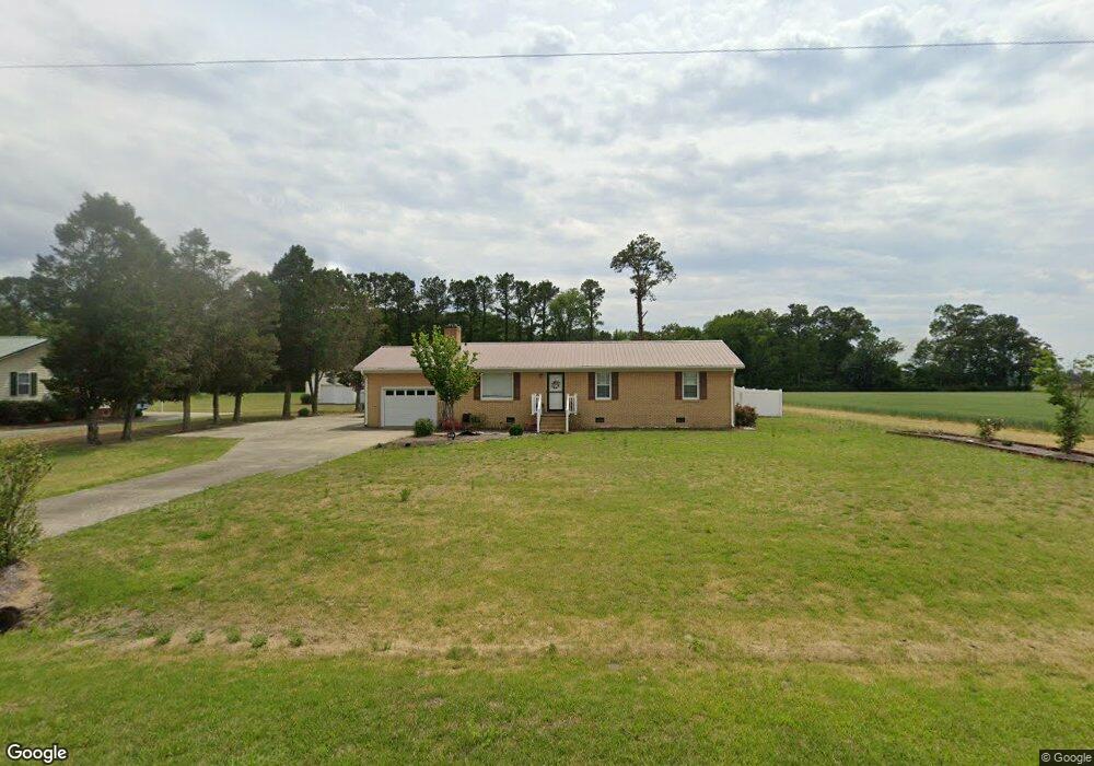
4015 Harold Sutton Rd La Grange, NC 28551
Estimated Value: $178,000 - $213,000
3
Beds
2
Baths
1,274
Sq Ft
$152/Sq Ft
Est. Value
About This Home
This home is located at 4015 Harold Sutton Rd, La Grange, NC 28551 and is currently estimated at $193,641, approximately $151 per square foot. 4015 Harold Sutton Rd is a home located in Lenoir County with nearby schools including La Grange Elementary School, E.B. Frink Middle School, and North Lenoir High School.
Ownership History
Date
Name
Owned For
Owner Type
Purchase Details
Closed on
Oct 26, 2022
Sold by
Fuller Tyndall Jerry
Bought by
Huer Melanie T
Current Estimated Value
Home Financials for this Owner
Home Financials are based on the most recent Mortgage that was taken out on this home.
Original Mortgage
$141,414
Outstanding Balance
$136,063
Interest Rate
6.02%
Mortgage Type
New Conventional
Estimated Equity
$57,578
Purchase Details
Closed on
Apr 25, 2006
Sold by
Antwine Lynwood E and Antwine Carolyn C
Bought by
Tyndall Jerry Fuller
Home Financials for this Owner
Home Financials are based on the most recent Mortgage that was taken out on this home.
Original Mortgage
$89,381
Interest Rate
6.33%
Mortgage Type
VA
Create a Home Valuation Report for This Property
The Home Valuation Report is an in-depth analysis detailing your home's value as well as a comparison with similar homes in the area
Home Values in the Area
Average Home Value in this Area
Purchase History
| Date | Buyer | Sale Price | Title Company |
|---|---|---|---|
| Huer Melanie T | $140,000 | -- | |
| Tyndall Jerry Fuller | $87,500 | None Available |
Source: Public Records
Mortgage History
| Date | Status | Borrower | Loan Amount |
|---|---|---|---|
| Open | Huer Melanie T | $141,414 | |
| Previous Owner | Tyndall Jerry Fuller | $89,381 |
Source: Public Records
Tax History Compared to Growth
Tax History
| Year | Tax Paid | Tax Assessment Tax Assessment Total Assessment is a certain percentage of the fair market value that is determined by local assessors to be the total taxable value of land and additions on the property. | Land | Improvement |
|---|---|---|---|---|
| 2025 | $1,605 | $194,372 | $14,652 | $179,720 |
| 2024 | $1,021 | $90,906 | $11,544 | $79,362 |
| 2023 | $985 | $90,906 | $11,544 | $79,362 |
| 2022 | $985 | $90,906 | $11,544 | $79,362 |
| 2021 | $985 | $90,906 | $11,544 | $79,362 |
| 2020 | $985 | $90,906 | $11,544 | $79,362 |
| 2019 | $985 | $90,906 | $11,544 | $79,362 |
| 2018 | $1,044 | $90,906 | $11,544 | $79,362 |
| 2017 | $963 | $90,906 | $11,544 | $79,362 |
| 2014 | $1,187 | $101,623 | $11,544 | $90,079 |
| 2013 | -- | $101,623 | $11,544 | $90,079 |
| 2011 | -- | $99,123 | $11,544 | $87,579 |
Source: Public Records
Map
Nearby Homes
- Lot #2 Albert Sugg Rd
- 3733 Fields Station Rd
- 6272 Highway 70 E
- 3619 S Caswell St
- 4725 Packhouse Rd
- 3263 N Carolina 903
- 3101 Marion Heights Dr
- 101 Forest Dr
- Hayden Plan at Blair Ridge
- Freeport Plan at Blair Ridge
- Cali Plan at Blair Ridge
- Belhaven Plan at Blair Ridge
- 210 Wood St
- 201 Wood St
- 202 Wood St
- 208 Wood St
- 217 Wood St
- 204 Wood St
- 205 Wood St
- 206 Wood St
- 4003 Harold Sutton Rd
- 3973 Harold Sutton Rd
- Lot 9b Harold Sutton Rd
- Lot 1 Harold Sutton Rd
- 3929 Harold Sutton Rd
- 4113 Harold Sutton Rd
- 3906 Harold Sutton Rd
- 4207 Harold Sutton Rd
- 3858 Harold Sutton Rd
- 2000 Roy Sutton Rd
- 4190 Harold Sutton Rd
- 3831 Harold Sutton Rd
- 1997 Roy Sutton Rd
- 4213 Harold Sutton Rd
- 1842 Roy Sutton Rd
- 3614 Frank Barwick Rd
- 3662 Frank Barwick Rd
- 1832 Roy Sutton Rd
- 3757 Harold Sutton Rd
- 3733 Harold Sutton Rd