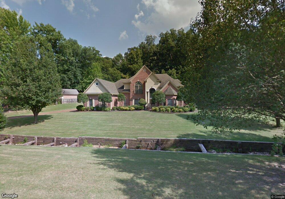
4016 Saint Philip Dr Memphis, TN 38133
Estimated Value: $536,965 - $603,000
4
Beds
4
Baths
4,230
Sq Ft
$136/Sq Ft
Est. Value
About This Home
This home is located at 4016 Saint Philip Dr, Memphis, TN 38133 and is currently estimated at $576,491, approximately $136 per square foot. 4016 Saint Philip Dr is a home located in Shelby County with nearby schools including Bon Lin Elementary School, Bon Lin Middle School, and Bartlett High School.
Ownership History
Date
Name
Owned For
Owner Type
Purchase Details
Closed on
Apr 21, 2004
Sold by
Lurry Solomon and Lurry Elaine H
Bought by
Wagner Robert E and Wagner Sheree
Current Estimated Value
Home Financials for this Owner
Home Financials are based on the most recent Mortgage that was taken out on this home.
Original Mortgage
$296,000
Outstanding Balance
$125,486
Interest Rate
4.25%
Mortgage Type
Unknown
Estimated Equity
$451,005
Create a Home Valuation Report for This Property
The Home Valuation Report is an in-depth analysis detailing your home's value as well as a comparison with similar homes in the area
Home Values in the Area
Average Home Value in this Area
Purchase History
| Date | Buyer | Sale Price | Title Company |
|---|---|---|---|
| Wagner Robert E | $370,000 | Stewart Title Of Memphis Inc |
Source: Public Records
Mortgage History
| Date | Status | Borrower | Loan Amount |
|---|---|---|---|
| Open | Wagner Robert E | $296,000 |
Source: Public Records
Tax History Compared to Growth
Tax History
| Year | Tax Paid | Tax Assessment Tax Assessment Total Assessment is a certain percentage of the fair market value that is determined by local assessors to be the total taxable value of land and additions on the property. | Land | Improvement |
|---|---|---|---|---|
| 2025 | $3,484 | $130,000 | $23,800 | $106,200 |
| 2024 | $3,484 | $102,775 | $15,450 | $87,325 |
| 2023 | $5,262 | $102,775 | $15,450 | $87,325 |
| 2022 | $5,262 | $102,775 | $15,450 | $87,325 |
| 2021 | $5,344 | $102,775 | $15,450 | $87,325 |
| 2020 | $5,074 | $86,300 | $15,450 | $70,850 |
| 2019 | $5,074 | $86,300 | $15,450 | $70,850 |
| 2018 | $5,074 | $86,300 | $15,450 | $70,850 |
| 2017 | $3,547 | $86,300 | $15,450 | $70,850 |
| 2016 | $3,497 | $80,025 | $0 | $0 |
| 2014 | $3,497 | $80,025 | $0 | $0 |
Source: Public Records
Map
Nearby Homes
- 4041 Hadley Dr
- 9479 Owl Hill Dr
- 9280 Ellen Davies Dr
- 9354 Laurel Hill Dr
- 9374 Laurel Hill Dr
- 3989 Canada Rd
- 9245 Ellen Davies Dr
- 4271 Bay Bridge Rd
- 9390 Zachariah Cove
- 0 Canada Rd Unit 10202529
- 0 N Canada Rd Unit 10193240
- 3977 Canada Rd
- 4244 Swan Hill Dr
- 3837 Canada Rd
- 9606 Blue Spruce Dr
- 4177 Larch Point Cove
- 3825 Planters View Rd
- 4071 Cedar Point Rd
- 9667 Pine Point Dr
- 4175 Cedar Point Rd
- 4085 Davies Manor Dr
- 3998 Saint Philip Dr
- 9284 Jayne Lewis Cove
- 4071 Davies Manor Dr
- 4011 Hadley Dr
- 4012 Hadley Dr
- 3990 Saint Philip Dr
- 4080 Davies Manor Dr
- 9294 Jayne Lewis Cove
- 9280 Jayne Lewis Cove
- 9170 Anderton Springs Dr
- 3972 Saint Philip Dr
- 4021 Hadley Dr
- 4053 Davies Manor Dr
- 4056 Davies Manor Dr
- 9310 Jayne Lewis Cove
- 4026 Hadley Dr
- 3954 Saint Philip Dr
- 9150 Anderton Springs Dr
- 4057 Cypress Hill Cove