Estimated Value: $497,000 - $680,000
4
Beds
3
Baths
5,054
Sq Ft
$116/Sq Ft
Est. Value
About This Home
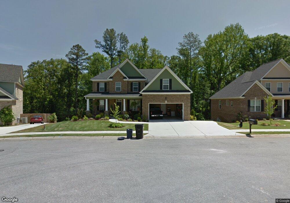
This home is located at 4017 Battery Dr, Evans, GA 30809 and is currently estimated at $585,033, approximately $115 per square foot. 4017 Battery Dr is a home with nearby schools including Evans Elementary School, John F. Kennedy Middle School, and Evans Middle School.
Ownership History
Date
Name
Owned For
Owner Type
Purchase Details
Closed on
Sep 18, 2023
Sold by
Dizon Richard F
Bought by
Dizon Jessica Rae
Current Estimated Value
Home Financials for this Owner
Home Financials are based on the most recent Mortgage that was taken out on this home.
Original Mortgage
$310,000
Outstanding Balance
$303,584
Interest Rate
7.09%
Mortgage Type
New Conventional
Estimated Equity
$281,449
Purchase Details
Closed on
Jun 10, 2010
Sold by
Meredith Homes Inc
Bought by
Dizon Richard F
Home Financials for this Owner
Home Financials are based on the most recent Mortgage that was taken out on this home.
Original Mortgage
$327,390
Interest Rate
4.73%
Mortgage Type
VA
Purchase Details
Closed on
Mar 5, 2010
Sold by
Porterfield Invst Llc
Bought by
Meredith Homes Inc
Home Financials for this Owner
Home Financials are based on the most recent Mortgage that was taken out on this home.
Original Mortgage
$240,000
Interest Rate
5.01%
Mortgage Type
New Conventional
Create a Home Valuation Report for This Property
The Home Valuation Report is an in-depth analysis detailing your home's value as well as a comparison with similar homes in the area
Home Values in the Area
Average Home Value in this Area
Purchase History
| Date | Buyer | Sale Price | Title Company |
|---|---|---|---|
| Dizon Jessica Rae | -- | -- | |
| Dizon Richard F | $320,500 | -- | |
| Meredith Homes Inc | $47,000 | -- |
Source: Public Records
Mortgage History
| Date | Status | Borrower | Loan Amount |
|---|---|---|---|
| Open | Dizon Jessica Rae | $310,000 | |
| Previous Owner | Dizon Richard F | $327,390 | |
| Previous Owner | Meredith Homes Inc | $240,000 |
Source: Public Records
Tax History Compared to Growth
Tax History
| Year | Tax Paid | Tax Assessment Tax Assessment Total Assessment is a certain percentage of the fair market value that is determined by local assessors to be the total taxable value of land and additions on the property. | Land | Improvement |
|---|---|---|---|---|
| 2025 | $5,693 | $236,317 | $24,839 | $211,478 |
| 2024 | $5,712 | $226,333 | $24,839 | $201,494 |
| 2023 | $5,712 | $212,241 | $22,559 | $189,682 |
| 2022 | $5,060 | $192,557 | $21,989 | $170,568 |
| 2021 | $4,673 | $169,759 | $20,944 | $148,815 |
| 2020 | $4,572 | $162,621 | $20,564 | $142,057 |
| 2019 | $4,542 | $161,526 | $20,374 | $141,152 |
| 2018 | $4,282 | $151,661 | $18,854 | $132,807 |
| 2017 | $4,071 | $143,586 | $14,104 | $129,482 |
| 2016 | $4,073 | $148,984 | $14,080 | $134,904 |
| 2015 | $4,051 | $147,887 | $12,275 | $135,612 |
| 2014 | $4,165 | $150,200 | $12,180 | $138,020 |
Source: Public Records
Map
Nearby Homes
- 586 Gibbs Rd
- 4648 Leeward Dr
- 4560 Mulberry Creek Dr
- 4709 Walnut Hill Dr
- 599 Windward Ct
- 604 Barberry Ct
- 604 Kimberley Place
- 4670 La Pointe
- 4586 Oxford Ct
- 4664 La Pointe
- 5068 Hereford Farm Rd
- 4597 Gray Ln
- 646 Wellington Dr
- 489 Connemara Trail
- 4569 Gray Ln
- 2975 Rosewood Dr
- 726 Whitney Shoals Rd
- 4746 Rye Hill Ct
- 4614 Stoneridge Ct
- 702 Rye Hill Dr
- 4015 Battery Dr
- 4021 Battery Dr
- 4013 Battery Dr
- 4014 Battery Dr
- 4016 Battery Dr
- 4606 Mulberry Creek Dr
- 4012 Battery Dr
- 4602 Mulberry Creek Dr
- 4020 Battery Dr
- 4018 Battery Dr
- 4608 Mulberry Creek Dr
- 4010 Battery Dr
- 505 Canon Ct
- 4600 Mulberry Creek Dr
- 615 Gibbs Rd
- 503 Canon Ct
- 4011 Battery Dr
- 507 Canon Ct
- 507 Canon Ct
- 4009 Battery Dr