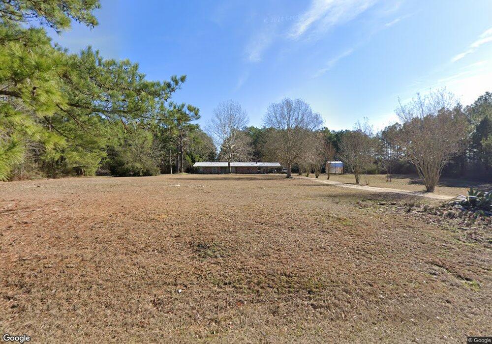
402 Airline Hwy Tylertown, MS 39667
Estimated Value: $168,045 - $286,000
--
Bed
--
Bath
2,390
Sq Ft
$88/Sq Ft
Est. Value
About This Home
This home is located at 402 Airline Hwy, Tylertown, MS 39667 and is currently estimated at $211,015, approximately $88 per square foot. 402 Airline Hwy is a home with nearby schools including Tylertown Primary School, Tylertown Lower Elementary School, and Tylertown High School.
Ownership History
Date
Name
Owned For
Owner Type
Purchase Details
Closed on
Feb 25, 2025
Sold by
Owens Walter Brent
Bought by
Hutchinson Sidney J and Hutchinson Rebecca T
Current Estimated Value
Purchase Details
Closed on
Mar 26, 2018
Sold by
Owens Walter Brent and Owens Rusti Nielson
Bought by
Owens Rusti Nielson
Home Financials for this Owner
Home Financials are based on the most recent Mortgage that was taken out on this home.
Original Mortgage
$50,000
Interest Rate
4.4%
Mortgage Type
Credit Line Revolving
Create a Home Valuation Report for This Property
The Home Valuation Report is an in-depth analysis detailing your home's value as well as a comparison with similar homes in the area
Home Values in the Area
Average Home Value in this Area
Purchase History
| Date | Buyer | Sale Price | Title Company |
|---|---|---|---|
| Hutchinson Sidney J | -- | -- | |
| Owens Rusti Nielson | -- | None Available |
Source: Public Records
Mortgage History
| Date | Status | Borrower | Loan Amount |
|---|---|---|---|
| Previous Owner | Owens Rusti Nielson | $50,000 |
Source: Public Records
Tax History Compared to Growth
Tax History
| Year | Tax Paid | Tax Assessment Tax Assessment Total Assessment is a certain percentage of the fair market value that is determined by local assessors to be the total taxable value of land and additions on the property. | Land | Improvement |
|---|---|---|---|---|
| 2024 | $855 | $8,800 | $0 | $0 |
| 2023 | $855 | $8,795 | $0 | $0 |
| 2022 | $824 | $8,797 | $0 | $0 |
| 2021 | $739 | $8,311 | $0 | $0 |
| 2020 | $735 | $8,316 | $0 | $0 |
| 2019 | $735 | $8,317 | $0 | $0 |
| 2018 | $888 | $9,522 | $0 | $0 |
| 2017 | $806 | $8,918 | $0 | $0 |
| 2016 | $778 | $8,829 | $0 | $0 |
| 2015 | -- | $8,738 | $0 | $0 |
| 2014 | -- | $8,659 | $0 | $0 |
| 2013 | -- | $8,262 | $0 | $0 |
Source: Public Records
Map
Nearby Homes
- 516 Airline Hwy
- tbd Louisiana 438
- 32747 Gerald Brown Sr Rd
- 50457 Frank Dillon Rd
- 30381 Par Road 47
- 0 Dexter Rd
- 30163 Red Penton Rd
- 31 Allen Hill Rd
- 0 Johnny Martin Rd Unit BR2025019920
- 64 Simon Rd
- 50077 Lawrence Creek Rd
- 30182 Karsyn Dr
- 136 Beaver Dam Rd
- 29279 Highway 1070
- 29479 Louisiana 1070
- 29433 Par Road 194
- 10 acres Par Road 180
- 24 Tom Warner Rd
- 377 Airline Hwy
- 436 Airline Hwy
- 449 Airline Hwy
- 55 Duncan Rd
- 314 Ed Taylor Rd
- 461 Airline Hwy
- 106 Duncan Rd
- 43 Duncan Rd
- 0 Duncan Road Rd
- 0 Duncan Rd
- 89 Duncan Rd
- xxx Duncan Rd
- 259 Ed Taylor Rd
- 263 Ed Taylor Rd
- 225 Hobgood Rd
- 271 Ed Taylor Rd
- 147 Hobgood Rd
- 000 Hobgood Rd
- unk Hobgood Rd
- 264 Ed Taylor Rd