402 Beard Rd Hillsborough, NH 03244
Hillsboro NeighborhoodEstimated Value: $378,000 - $580,000
3
Beds
2
Baths
1,547
Sq Ft
$284/Sq Ft
Est. Value
About This Home
This home is located at 402 Beard Rd, Hillsborough, NH 03244 and is currently estimated at $438,689, approximately $283 per square foot. 402 Beard Rd is a home located in Hillsborough County with nearby schools including Hillsboro-Deering Elementary School, Hillsboro-Deering High School, and Hillsboro Christian School.
Ownership History
Date
Name
Owned For
Owner Type
Purchase Details
Closed on
Jan 20, 2020
Sold by
Bernis Matthew P and Bernis Brandi E
Bought by
Bernis Matthew P and Bernis Brandi E
Current Estimated Value
Home Financials for this Owner
Home Financials are based on the most recent Mortgage that was taken out on this home.
Original Mortgage
$172,800
Outstanding Balance
$117,568
Interest Rate
3.7%
Mortgage Type
New Conventional
Estimated Equity
$321,121
Create a Home Valuation Report for This Property
The Home Valuation Report is an in-depth analysis detailing your home's value as well as a comparison with similar homes in the area
Home Values in the Area
Average Home Value in this Area
Purchase History
| Date | Buyer | Sale Price | Title Company |
|---|---|---|---|
| Bernis Matthew P | -- | None Available |
Source: Public Records
Mortgage History
| Date | Status | Borrower | Loan Amount |
|---|---|---|---|
| Open | Bernis Matthew P | $172,800 |
Source: Public Records
Tax History Compared to Growth
Tax History
| Year | Tax Paid | Tax Assessment Tax Assessment Total Assessment is a certain percentage of the fair market value that is determined by local assessors to be the total taxable value of land and additions on the property. | Land | Improvement |
|---|---|---|---|---|
| 2024 | $6,534 | $195,400 | $60,000 | $135,400 |
| 2023 | $6,100 | $195,400 | $60,000 | $135,400 |
| 2022 | $5,215 | $195,400 | $60,000 | $135,400 |
| 2021 | $5,651 | $195,400 | $60,000 | $135,400 |
| 2020 | $5,614 | $195,400 | $60,000 | $135,400 |
| 2018 | $5,177 | $175,500 | $50,000 | $125,500 |
| 2017 | $5,999 | $175,500 | $50,000 | $125,500 |
| 2016 | $5,122 | $173,500 | $45,000 | $128,500 |
| 2015 | $5,040 | $173,500 | $45,000 | $128,500 |
| 2014 | $4,782 | $173,500 | $45,000 | $128,500 |
| 2013 | $4,868 | $173,500 | $45,000 | $128,500 |
Source: Public Records
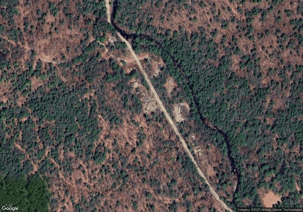
Map
Nearby Homes
- Lot 14 Old Mill Farm Rd
- 447 Center Rd
- 00 Windsor Rd Unit 21
- 298 2nd New Hampshire Turnpike Unit 10-038-000
- 298 2nd New Hampshire Turnpike
- 134 Hall Rd
- 237 2nd New Hampshire Turnpike
- 0 Center Rd
- 0 W Main St Unit 1
- 0 Route 202 Route Unit 4983445
- M7/L28 Stowe Mountain Rd
- 6 McColley Rd
- 17 Gould Pond Rd
- 32 Deerpoint Dr
- 23 Pleasant St
- 31 Woodlawn Ave
- 9 Ellen Brook Rd
- 31 Central St Unit G
- 0 Huntington Dr Unit 373 4855140
- 0 Huntington Dr Unit 307 4855146