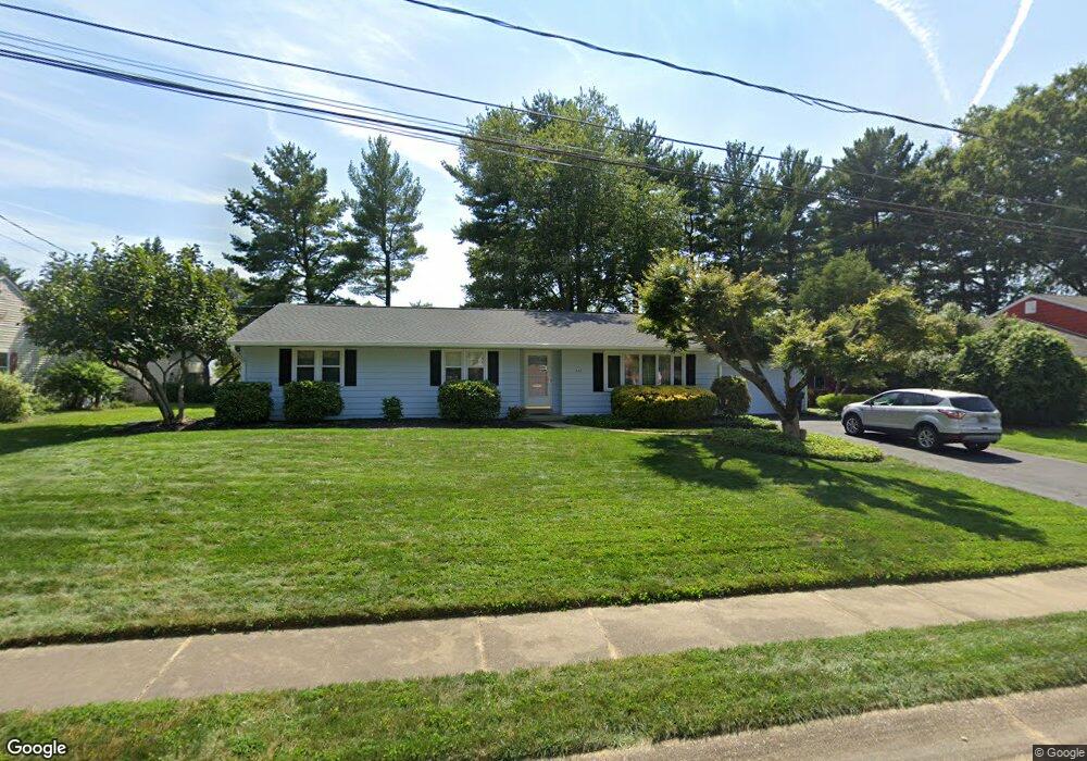
402 Briar Ln Newark, DE 19711
Estimated Value: $438,000 - $550,000
4
Beds
3
Baths
2,045
Sq Ft
$245/Sq Ft
Est. Value
About This Home
This home is located at 402 Briar Ln, Newark, DE 19711 and is currently estimated at $501,709, approximately $245 per square foot. 402 Briar Ln is a home located in New Castle County with nearby schools including Downes (John R.) Elementary School, Shue-Medill Middle School, and Newark High School.
Ownership History
Date
Name
Owned For
Owner Type
Purchase Details
Closed on
Dec 4, 2008
Sold by
Spencer Charles D and Spencer Dorothy M
Bought by
Lashbrook John and Lashbrook Christine A
Current Estimated Value
Home Financials for this Owner
Home Financials are based on the most recent Mortgage that was taken out on this home.
Original Mortgage
$260,000
Outstanding Balance
$171,627
Interest Rate
6.11%
Mortgage Type
Purchase Money Mortgage
Estimated Equity
$330,082
Create a Home Valuation Report for This Property
The Home Valuation Report is an in-depth analysis detailing your home's value as well as a comparison with similar homes in the area
Home Values in the Area
Average Home Value in this Area
Purchase History
| Date | Buyer | Sale Price | Title Company |
|---|---|---|---|
| Lashbrook John | $325,000 | None Available |
Source: Public Records
Mortgage History
| Date | Status | Borrower | Loan Amount |
|---|---|---|---|
| Open | Lashbrook John | $260,000 |
Source: Public Records
Tax History
| Year | Tax Paid | Tax Assessment Tax Assessment Total Assessment is a certain percentage of the fair market value that is determined by local assessors to be the total taxable value of land and additions on the property. | Land | Improvement |
|---|---|---|---|---|
| 2024 | $911 | $86,300 | $19,700 | $66,600 |
| 2023 | $2,621 | $86,300 | $19,700 | $66,600 |
| 2022 | $2,587 | $86,300 | $19,700 | $66,600 |
| 2021 | $2,608 | $86,300 | $19,700 | $66,600 |
| 2020 | $2,491 | $85,400 | $19,700 | $65,700 |
| 2019 | $2,135 | $85,400 | $19,700 | $65,700 |
| 2018 | $2,076 | $85,400 | $19,700 | $65,700 |
| 2017 | $2,002 | $85,400 | $19,700 | $65,700 |
| 2016 | $2,395 | $85,400 | $19,700 | $65,700 |
| 2015 | $2,147 | $85,400 | $19,700 | $65,700 |
| 2014 | $2,147 | $85,400 | $19,700 | $65,700 |
Source: Public Records
Map
Nearby Homes
- 512 Briar Ln
- 105 Tanglewood Ln
- 306 Willa Rd
- 30 Julie Ln
- 57 W Park Place
- 153 King William St Unit 153
- 313 Chickory Way
- 104 Country Club Dr
- 102 Joshua (6 Building Lots) Ln
- 2 Leahy Dr
- 104 Leahy Dr
- 3 Leahy Dr
- 0001 Leahy Dr
- 117 W Shetland Ct
- 1002 Dixon Dr
- 113 E Main St Unit 311
- 405 Leahy Dr
- 402 Leahy Dr
- 406 Leahy Dr
- 311 Stamford Dr
Your Personal Tour Guide
Ask me questions while you tour the home.