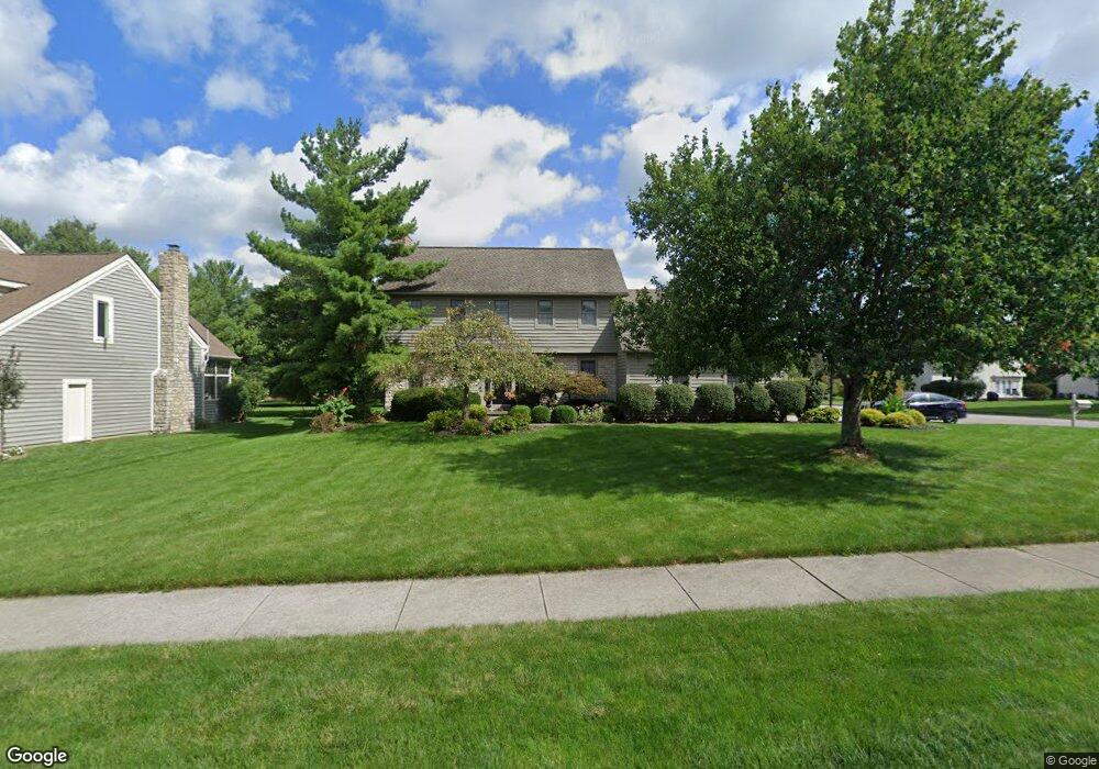
402 Briarbend Blvd Powell, OH 43065
Estimated Value: $529,000 - $623,000
4
Beds
3
Baths
2,119
Sq Ft
$266/Sq Ft
Est. Value
About This Home
This home is located at 402 Briarbend Blvd, Powell, OH 43065 and is currently estimated at $563,781, approximately $266 per square foot. 402 Briarbend Blvd is a home located in Delaware County with nearby schools including Tyler Run Elementary School, Olentangy Liberty Middle School, and Olentangy Liberty High School.
Ownership History
Date
Name
Owned For
Owner Type
Purchase Details
Closed on
Jun 2, 1998
Sold by
Pontius Todd D
Bought by
Palo David M and Palo Michele M
Current Estimated Value
Home Financials for this Owner
Home Financials are based on the most recent Mortgage that was taken out on this home.
Original Mortgage
$191,700
Outstanding Balance
$39,086
Interest Rate
7.27%
Mortgage Type
New Conventional
Estimated Equity
$524,695
Create a Home Valuation Report for This Property
The Home Valuation Report is an in-depth analysis detailing your home's value as well as a comparison with similar homes in the area
Home Values in the Area
Average Home Value in this Area
Purchase History
| Date | Buyer | Sale Price | Title Company |
|---|---|---|---|
| Palo David M | $213,000 | -- |
Source: Public Records
Mortgage History
| Date | Status | Borrower | Loan Amount |
|---|---|---|---|
| Open | Palo David M | $191,700 |
Source: Public Records
Tax History
| Year | Tax Paid | Tax Assessment Tax Assessment Total Assessment is a certain percentage of the fair market value that is determined by local assessors to be the total taxable value of land and additions on the property. | Land | Improvement |
|---|---|---|---|---|
| 2024 | $7,545 | $144,000 | $36,580 | $107,420 |
| 2023 | $7,575 | $144,000 | $36,580 | $107,420 |
| 2022 | $7,334 | $109,310 | $24,500 | $84,810 |
| 2021 | $7,463 | $109,310 | $24,500 | $84,810 |
| 2020 | $7,494 | $109,310 | $24,500 | $84,810 |
| 2019 | $6,510 | $98,250 | $24,500 | $73,750 |
| 2018 | $6,588 | $98,250 | $24,500 | $73,750 |
| 2017 | $6,535 | $86,100 | $20,370 | $65,730 |
| 2016 | $6,102 | $86,100 | $20,370 | $65,730 |
| 2015 | $5,553 | $86,100 | $20,370 | $65,730 |
| 2014 | $5,627 | $86,100 | $20,370 | $65,730 |
| 2013 | $5,630 | $84,180 | $20,370 | $63,810 |
Source: Public Records
Map
Nearby Homes
- 1937 Liberty St
- 120 S Liberty St
- 130 Barrington Place
- 424 Whitaker Ave S
- 170 Barrington Place
- 97 Murphys Crossing Dr
- 149 Chedworth Row
- 86 Cressingham Ln
- 18 Murphys View Place Unit I18
- 104 Encore Park Bend
- 471 Commons Dr Unit 471
- 255 Winter Hill Place
- 269 Ridge Side Dr
- 149 Trail Edge Cir
- 22 Brookehill Dr
- 8292 Breckenridge Way
- 22 Liberty Ridge Ave
- 5552 Jessica Ln W
- 8622 Renford Ct
- 2672 Sawmill Reserve Dr Unit 2672
- 384 Briarbend Blvd
- 238 Woodsfield Ct
- 424 Briarbend Blvd
- 235 Bluff Ridge Ct
- 401 Briarbend Blvd
- 252 Woodsfield Ct
- 421 Briarbend Blvd
- 446 Briarbend Blvd
- 381 Briarbend Blvd
- 241 Bluff Ridge Ct
- 360 Briarbend Blvd
- 253 Woodsfield Ct
- 264 Woodsfield Ct
- 175 Whitegate Ct
- 170 Whitegate Ct
- 452 Briarbend Blvd
- 441 Briarbend Blvd
- 160 Whitegate Ct
- 225 Oakham Ct
- 355 Briarbend Blvd
Your Personal Tour Guide
Ask me questions while you tour the home.