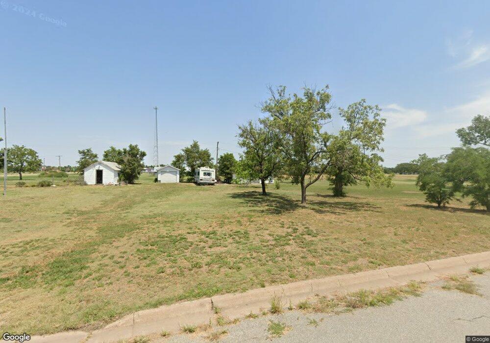
402 E Ash Ave Mc Cracken, KS 67556
Estimated Value: $57,301 - $61,000
4
Beds
1
Bath
1,883
Sq Ft
$31/Sq Ft
Est. Value
About This Home
This home is located at 402 E Ash Ave, Mc Cracken, KS 67556 and is currently estimated at $59,151, approximately $31 per square foot. 402 E Ash Ave is a home located in Rush County with nearby schools including La Crosse Elementary School, La Crosse Middle School, and La Crosse High School.
Ownership History
Date
Name
Owned For
Owner Type
Purchase Details
Closed on
Dec 1, 2003
Bought by
Hampton Vickie
Current Estimated Value
Create a Home Valuation Report for This Property
The Home Valuation Report is an in-depth analysis detailing your home's value as well as a comparison with similar homes in the area
Home Values in the Area
Average Home Value in this Area
Purchase History
| Date | Buyer | Sale Price | Title Company |
|---|---|---|---|
| Hampton Vickie | $17,500 | -- |
Source: Public Records
Tax History Compared to Growth
Tax History
| Year | Tax Paid | Tax Assessment Tax Assessment Total Assessment is a certain percentage of the fair market value that is determined by local assessors to be the total taxable value of land and additions on the property. | Land | Improvement |
|---|---|---|---|---|
| 2025 | $946 | $4,749 | $187 | $4,562 |
| 2024 | $829 | $4,050 | $120 | $3,930 |
| 2023 | -- | $3,894 | $120 | $3,774 |
| 2022 | -- | $3,744 | $86 | $3,658 |
| 2021 | -- | $3,671 | $85 | $3,586 |
| 2020 | -- | -- | $101 | $3,414 |
| 2019 | -- | -- | $84 | $3,033 |
| 2018 | -- | -- | $98 | $3,019 |
| 2017 | -- | -- | $82 | $2,987 |
| 2016 | -- | -- | $86 | $2,601 |
| 2015 | -- | -- | $82 | $2,606 |
| 2014 | -- | -- | $82 | $2,309 |
Source: Public Records
Map
Nearby Homes
- 512 Jefferson St
- 310 E Ash Ave
- 308 E Ash Ave
- 612 Jefferson St
- 301 E Ash Ave
- 312 E Locust Ave
- 209 E Ash Ave
- 311 E Locust Ave
- 602 Washington St
- 206 E Locust Ave
- 512 Washington St
- 702 Washington St
- 306 E Beech Ave
- 712 6th St
- 611 Washington St
- 300 E Beech Ave
- 108 E Ash Ave
- 212 E Beech Ave
- 201 E Locust Ave
- 111 E Ash Ave