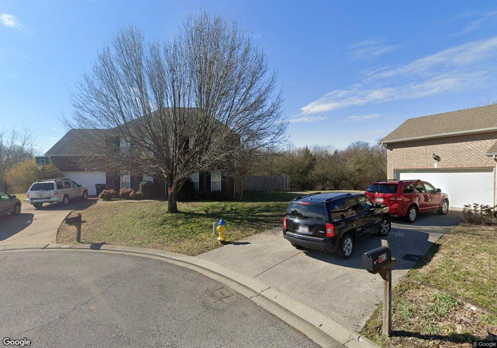
402 Forrest Pointe Dr Murfreesboro, TN 37130
Estimated Value: $394,557 - $468,000
--
Bed
3
Baths
2,182
Sq Ft
$197/Sq Ft
Est. Value
About This Home
This home is located at 402 Forrest Pointe Dr, Murfreesboro, TN 37130 and is currently estimated at $430,889, approximately $197 per square foot. 402 Forrest Pointe Dr is a home located in Rutherford County with nearby schools including Black Fox Elementary School, Christiana Middle School, and Riverdale High School.
Ownership History
Date
Name
Owned For
Owner Type
Purchase Details
Closed on
Sep 22, 2003
Sold by
Landmark Homes Of Tn
Bought by
Ofoma Chris A
Current Estimated Value
Home Financials for this Owner
Home Financials are based on the most recent Mortgage that was taken out on this home.
Original Mortgage
$142,759
Outstanding Balance
$66,408
Interest Rate
6.28%
Estimated Equity
$364,481
Purchase Details
Closed on
Sep 6, 2001
Sold by
Forrest Ptn
Bought by
Landmark Homes Of Tennesse
Create a Home Valuation Report for This Property
The Home Valuation Report is an in-depth analysis detailing your home's value as well as a comparison with similar homes in the area
Home Values in the Area
Average Home Value in this Area
Purchase History
| Date | Buyer | Sale Price | Title Company |
|---|---|---|---|
| Ofoma Chris A | $145,000 | -- | |
| Landmark Homes Of Tennesse | $92,000 | -- |
Source: Public Records
Mortgage History
| Date | Status | Borrower | Loan Amount |
|---|---|---|---|
| Open | Landmark Homes Of Tennesse | $142,759 |
Source: Public Records
Tax History Compared to Growth
Tax History
| Year | Tax Paid | Tax Assessment Tax Assessment Total Assessment is a certain percentage of the fair market value that is determined by local assessors to be the total taxable value of land and additions on the property. | Land | Improvement |
|---|---|---|---|---|
| 2025 | $2,468 | $87,225 | $13,750 | $73,475 |
| 2024 | $2,468 | $87,225 | $13,750 | $73,475 |
| 2023 | $1,637 | $87,225 | $13,750 | $73,475 |
| 2022 | $1,410 | $87,225 | $13,750 | $73,475 |
| 2021 | $1,349 | $60,800 | $10,625 | $50,175 |
| 2020 | $1,349 | $60,800 | $10,625 | $50,175 |
| 2019 | $1,349 | $60,800 | $10,625 | $50,175 |
| 2018 | $1,853 | $60,800 | $0 | $0 |
| 2017 | $1,945 | $50,050 | $0 | $0 |
| 2016 | $1,945 | $50,050 | $0 | $0 |
| 2015 | $1,945 | $50,050 | $0 | $0 |
| 2014 | $1,245 | $50,050 | $0 | $0 |
| 2013 | -- | $48,825 | $0 | $0 |
Source: Public Records
Map
Nearby Homes
- 610 Messick Ct
- 1341 Shearron Ct
- 1118 Houston Dr
- 710 Saratoga Dr
- 1280 Middle Tennessee Blvd Unit C2
- 1280 Middle Tennessee Blvd Unit D6
- 1103 Virginia Ave
- 1016 Silver Point Dr
- 411 Tremont Dr
- 923 SE Broad St Unit 4
- 1003 Tyler Ct
- 602 Johnson St
- 1315 Bradyville Pike Unit 2
- 1315 Bradyville Pike Unit 1
- 706 Mars St
- 728 Old Salem Rd
- 431 E Castle St
- 1330 Eagle St
- 420 E State St
- 1103 S Baird Ln
- 408 Forrest Pointe Dr
- 403 Forrest Pointe Dr
- 414 Forrest Pointe Dr
- 415 Forrest Pointe Dr
- 420 Forrest Pointe Dr
- 1536 Nathan Ct
- 1542 Nathan Ct
- 421 Forrest Pointe Dr
- 426 Forrest Pointe Dr
- 1530 Nathan Ct
- 1545 Nathan Ct
- 427 Forrest Pointe Dr
- 1516 Nathan Ct
- 432 Forrest Pointe Dr
- 1539 Nathan Ct
- 433 Forrest Pointe Dr
- 1533 Nathan Ct
- 1527 Nathan Ct
- 503 Forrest Pointe Dr
- 1521 Nathan Ct