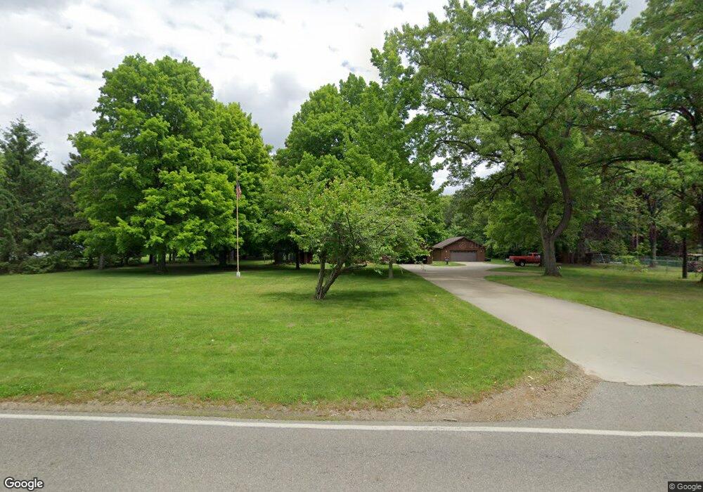
402 Mcallister Rd Battle Creek, MI 49014
Estimated Value: $179,000 - $209,000
2
Beds
1
Bath
1,004
Sq Ft
$195/Sq Ft
Est. Value
About This Home
This home is located at 402 Mcallister Rd, Battle Creek, MI 49014 and is currently estimated at $195,881, approximately $195 per square foot. 402 Mcallister Rd is a home located in Calhoun County with nearby schools including Pennfield Dunlap Elementary School, Pennfield Purdy School, and Pennfield Middle School.
Ownership History
Date
Name
Owned For
Owner Type
Purchase Details
Closed on
Jan 20, 2017
Sold by
Reed Joseph R and Reed Tammy M
Bought by
Dean Woodie J and Dean Heidi
Current Estimated Value
Home Financials for this Owner
Home Financials are based on the most recent Mortgage that was taken out on this home.
Original Mortgage
$119,000
Interest Rate
4.3%
Mortgage Type
New Conventional
Purchase Details
Closed on
Aug 1, 1990
Create a Home Valuation Report for This Property
The Home Valuation Report is an in-depth analysis detailing your home's value as well as a comparison with similar homes in the area
Home Values in the Area
Average Home Value in this Area
Purchase History
| Date | Buyer | Sale Price | Title Company |
|---|---|---|---|
| Dean Woodie J | $100,000 | Attorney | |
| -- | $54,900 | -- |
Source: Public Records
Mortgage History
| Date | Status | Borrower | Loan Amount |
|---|---|---|---|
| Closed | Dean Woodie J | $119,000 |
Source: Public Records
Tax History Compared to Growth
Tax History
| Year | Tax Paid | Tax Assessment Tax Assessment Total Assessment is a certain percentage of the fair market value that is determined by local assessors to be the total taxable value of land and additions on the property. | Land | Improvement |
|---|---|---|---|---|
| 2025 | $2,211 | $96,900 | $0 | $0 |
| 2024 | $1,007 | $85,200 | $0 | $0 |
| 2023 | $1,951 | $76,900 | $0 | $0 |
| 2022 | $913 | $69,500 | $0 | $0 |
| 2021 | $1,916 | $64,180 | $0 | $0 |
| 2020 | $1,885 | $58,300 | $0 | $0 |
| 2019 | $1,821 | $54,880 | $0 | $0 |
| 2018 | $1,676 | $52,280 | $9,210 | $43,070 |
| 2017 | -- | $48,680 | $0 | $0 |
| 2016 | -- | $43,850 | $0 | $0 |
| 2015 | -- | $43,170 | $16,682 | $26,488 |
| 2014 | -- | $40,780 | $16,682 | $24,098 |
Source: Public Records
Map
Nearby Homes
- 8671 Gorsline Rd
- 9604 Natala Ln
- 0 Gavin Ln Unit 17
- Integrity 1605 Plan at Loganwood Acres - North
- Integrity 1250 Plan at Loganwood Acres - North
- Elements 2390 Plan at Loganwood Acres - North
- integrity 2280 Plan at Loganwood Acres - North
- Integrity 2061 V8.1a Plan at Loganwood Acres - North
- Elements 2090 Plan at Loganwood Acres - North
- Integrity 2060 Plan at Loganwood Acres - North
- Elements 2200 Plan at Loganwood Acres - North
- Integrity 2190 Plan at Loganwood Acres - North
- Integrity 1530 Plan at Loganwood Acres - North
- Elements 2700 Plan at Loganwood Acres - North
- Integrity 1610 Plan at Loganwood Acres - North
- 605 Westbrook Ave
- 18248 Loganwood Trail
- 18264 Loganwood Trail
- 215 Pony Ave
- 118 Moonwood Trail
- 398 Mcallister Rd
- 403 Mcallister Rd
- 376 Mcallister Rd
- 416 Mcallister Rd
- 381 Mcallister Rd
- 415 Mcallister Rd
- 375 Mcallister Rd
- 421 Mcallister Rd
- 424 Mcallister Rd
- 425 Mcallister Rd
- 366 Mcallister Rd
- 426 Mcallister Rd
- 363 Mcallister Rd
- 371 Mcallister Rd
- 428 Mcallister Rd
- 274 Mcallister Rd
- 430 Mcallister Rd
- 581 Joy Rd
- 355 Mcallister Rd
- 530 Joy Rd