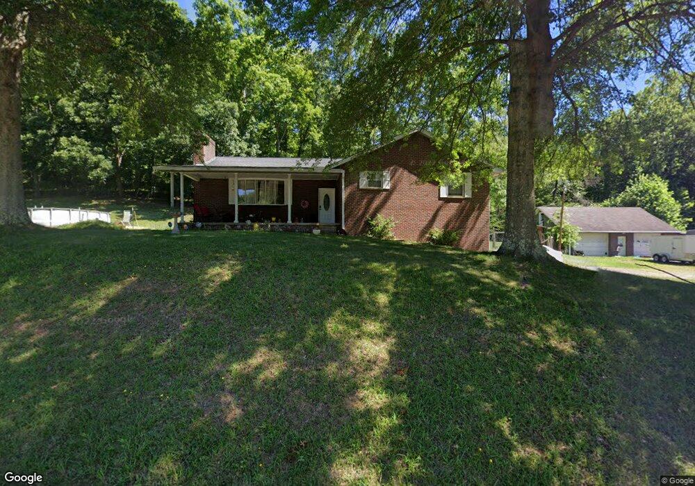
402 Poplar Fork Rd Scott Depot, WV 25560
Estimated Value: $273,000 - $365,000
4
Beds
3
Baths
2,600
Sq Ft
$127/Sq Ft
Est. Value
About This Home
This home is located at 402 Poplar Fork Rd, Scott Depot, WV 25560 and is currently estimated at $331,207, approximately $127 per square foot. 402 Poplar Fork Rd is a home located in Putnam County.
Ownership History
Date
Name
Owned For
Owner Type
Purchase Details
Closed on
Jan 20, 2012
Sold by
Hudson Home Leon and Hudson Freda J
Bought by
Bullock Lawrence R and Mitchell Stephanie
Current Estimated Value
Home Financials for this Owner
Home Financials are based on the most recent Mortgage that was taken out on this home.
Original Mortgage
$169,175
Outstanding Balance
$118,285
Interest Rate
4.4%
Mortgage Type
FHA
Estimated Equity
$212,922
Create a Home Valuation Report for This Property
The Home Valuation Report is an in-depth analysis detailing your home's value as well as a comparison with similar homes in the area
Home Values in the Area
Average Home Value in this Area
Purchase History
| Date | Buyer | Sale Price | Title Company |
|---|---|---|---|
| Bullock Lawrence R | $190,500 | -- |
Source: Public Records
Mortgage History
| Date | Status | Borrower | Loan Amount |
|---|---|---|---|
| Open | Bullock Lawrence R | $169,175 |
Source: Public Records
Tax History Compared to Growth
Tax History
| Year | Tax Paid | Tax Assessment Tax Assessment Total Assessment is a certain percentage of the fair market value that is determined by local assessors to be the total taxable value of land and additions on the property. | Land | Improvement |
|---|---|---|---|---|
| 2024 | $1,543 | $110,720 | $16,940 | $93,780 |
| 2023 | $1,248 | $107,480 | $16,520 | $90,960 |
| 2022 | $1,267 | $105,140 | $16,880 | $88,260 |
| 2021 | $1,250 | $103,230 | $16,230 | $87,000 |
| 2020 | $1,380 | $114,090 | $17,070 | $97,020 |
| 2019 | $1,323 | $107,790 | $17,070 | $90,720 |
| 2018 | $1,317 | $107,010 | $17,070 | $89,940 |
| 2017 | $1,279 | $103,050 | $15,570 | $87,480 |
| 2016 | $1,201 | $96,240 | $13,500 | $82,740 |
| 2015 | $1,163 | $92,430 | $13,500 | $78,930 |
| 2014 | $1,037 | $82,530 | $18,240 | $64,290 |
Source: Public Records
Map
Nearby Homes
- 0 Poplar Estates Dr
- 2671 Scott Depot Rd
- 1037 MacCorkle Ave SW
- 2384 Scary Creek Rd
- 403 Hodges Rd
- TBD Hedrick Rd
- 115 Rolling Meadows Dr
- 0 Tbd Hedrick Rd
- 0 Poplar Estates Unit 272168
- 413 Lyman Ln
- 200 Bent Tree Estates
- 149 Beechwood Estates
- 100 Devonshire Dr
- 0 Hedrick Rd Unit WVPU2000008
- 00 Hedrick Rd
- 600 Hedrick Rd
- 9 Bristol Place
- Lot 12 Crooked Creek Rd
- 0 Hitching Post Ln
- 147-165 Weybridge Dr
- 403 Poplar Fork Rd
- 410 Poplar Fork Rd
- 414 Poplar Fork Rd
- 414 Poplar Fork Rd
- 492 Poplar Fork Rd
- 417 Poplar Fork Rd
- 419 Poplar Fork Rd
- 460 Poplar Fork Rd
- 455 Scott Depot Rd
- 454 Poplar Fork Rd
- 424 Poplar Fork Rd
- 312 Poplar Estates
- 450 Poplar Fork Rd
- 447 Poplar Fork Rd
- 319 Poplar Estates
- 582 Poplar Estates Dr
- 107 Poplar Estates
- 104 Crest Ridge Unit OAK
- 110 Crest Ridge Unit OAK
- 112 Crest Ridge Unit OAK