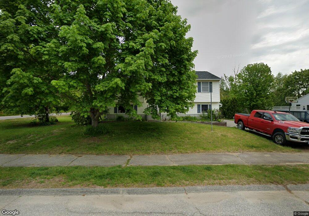
402 Stockdale Cir Rollinsford, NH 03869
Estimated Value: $430,000 - $505,000
3
Beds
2
Baths
1,684
Sq Ft
$284/Sq Ft
Est. Value
About This Home
This home is located at 402 Stockdale Cir, Rollinsford, NH 03869 and is currently estimated at $478,009, approximately $283 per square foot. 402 Stockdale Cir is a home located in Strafford County with nearby schools including Rollinsford Grade School, Berwick Academy, and Seacoast Christian School.
Ownership History
Date
Name
Owned For
Owner Type
Purchase Details
Closed on
Sep 13, 2004
Sold by
Reister William F and Reister Cheryl A
Bought by
Carroll Christopher D
Current Estimated Value
Home Financials for this Owner
Home Financials are based on the most recent Mortgage that was taken out on this home.
Original Mortgage
$180,000
Outstanding Balance
$90,364
Interest Rate
6.08%
Mortgage Type
Purchase Money Mortgage
Estimated Equity
$387,645
Purchase Details
Closed on
Mar 2, 2001
Sold by
Picucci Patricia A
Bought by
Reister William F and Reister Cheryl A
Home Financials for this Owner
Home Financials are based on the most recent Mortgage that was taken out on this home.
Original Mortgage
$149,500
Interest Rate
7%
Create a Home Valuation Report for This Property
The Home Valuation Report is an in-depth analysis detailing your home's value as well as a comparison with similar homes in the area
Home Values in the Area
Average Home Value in this Area
Purchase History
| Date | Buyer | Sale Price | Title Company |
|---|---|---|---|
| Carroll Christopher D | $225,000 | -- | |
| Reister William F | $149,500 | -- |
Source: Public Records
Mortgage History
| Date | Status | Borrower | Loan Amount |
|---|---|---|---|
| Open | Reister William F | $180,000 | |
| Closed | Reister William F | $180,000 | |
| Previous Owner | Reister William F | $149,500 |
Source: Public Records
Tax History Compared to Growth
Tax History
| Year | Tax Paid | Tax Assessment Tax Assessment Total Assessment is a certain percentage of the fair market value that is determined by local assessors to be the total taxable value of land and additions on the property. | Land | Improvement |
|---|---|---|---|---|
| 2024 | $6,011 | $366,300 | $176,100 | $190,200 |
| 2023 | $5,634 | $366,300 | $176,100 | $190,200 |
| 2022 | $5,447 | $366,300 | $176,100 | $190,200 |
| 2021 | $5,388 | $221,000 | $105,700 | $115,300 |
| 2020 | $5,454 | $221,000 | $105,700 | $115,300 |
| 2019 | $4,997 | $221,000 | $105,700 | $115,300 |
| 2018 | $5,335 | $221,000 | $105,700 | $115,300 |
| 2016 | $4,978 | $177,900 | $66,000 | $111,900 |
| 2015 | $4,880 | $177,900 | $66,000 | $111,900 |
| 2014 | $4,714 | $177,900 | $66,000 | $111,900 |
| 2013 | $4,782 | $177,900 | $66,000 | $111,900 |
Source: Public Records
Map
Nearby Homes
- 442 Prospect St
- 26 Stevens Ct
- 24 Spillanes Hill
- 37 Nealley St
- 72 Moses Carr Rd
- 289 Main St
- 10 Portland St
- 23 Paul St
- 72 Vine St
- 10 Hill Dr
- 3 Bennett St
- 10 Turgeon's Ln
- 17 2nd St
- 29 Buffumsville Rd
- 24 Farmgate Rd
- 14 Central St
- 22 High Knoll Dr
- 13 Beaver Dam Rd
- 22 Indigo Hill Rd
- 11 Country Club Estates Dr Unit 11
- 457 Main St
- 406 Stockdale Cir
- 401 Stockdale Cir
- 410 Stockdale Cir
- 405 Stockdale Cir
- 461 Main St
- 409 Stockdale Cir
- 414 Stockdale Cir
- 494 Stockdale Cir
- 413 Stockdale Cir
- 510 Stockdale Cir
- 506 Stockdale Cir
- 498 Stockdale Cir
- 490 Stockdale Cir
- 418 Stockdale Cir
- 424 Beccaris Dr
- 417 Stockdale Cir
- 422 Stockdale Cir
- 488 Stockdale Cir
- 422 Beccaris Dr