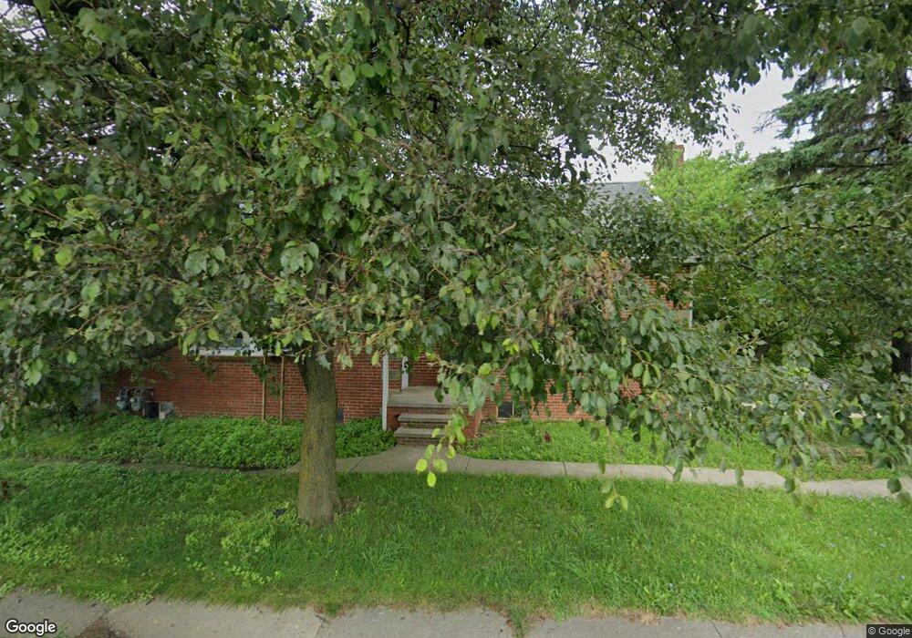
402 W Cook Rd Mansfield, OH 44907
Estimated Value: $124,000 - $187,000
5
Beds
3
Baths
1,725
Sq Ft
$91/Sq Ft
Est. Value
About This Home
This home is located at 402 W Cook Rd, Mansfield, OH 44907 and is currently estimated at $156,915, approximately $90 per square foot. 402 W Cook Rd is a home located in Richland County with nearby schools including Mansfield Christian School, Discovery School, and Mansfield Seventh-day Adventist School.
Ownership History
Date
Name
Owned For
Owner Type
Purchase Details
Closed on
Jun 8, 2012
Sold by
Mellott Lee E and Mellott Sharon A
Bought by
Jenney Matthew
Current Estimated Value
Purchase Details
Closed on
Oct 20, 2005
Sold by
Holtkamp Sherrie and Estate Of Celia Harris
Bought by
Mellott Lee E and Mellott Sharon A
Home Financials for this Owner
Home Financials are based on the most recent Mortgage that was taken out on this home.
Original Mortgage
$92,000
Interest Rate
6.98%
Mortgage Type
Purchase Money Mortgage
Purchase Details
Closed on
Feb 15, 1994
Sold by
Harris Summer
Bought by
Harris Celia
Create a Home Valuation Report for This Property
The Home Valuation Report is an in-depth analysis detailing your home's value as well as a comparison with similar homes in the area
Home Values in the Area
Average Home Value in this Area
Purchase History
| Date | Buyer | Sale Price | Title Company |
|---|---|---|---|
| Jenney Matthew | $31,000 | Attorney | |
| Mellott Lee E | $69,000 | Chicago Title | |
| Harris Celia | -- | -- |
Source: Public Records
Mortgage History
| Date | Status | Borrower | Loan Amount |
|---|---|---|---|
| Previous Owner | Mellott Lee E | $92,000 |
Source: Public Records
Tax History Compared to Growth
Tax History
| Year | Tax Paid | Tax Assessment Tax Assessment Total Assessment is a certain percentage of the fair market value that is determined by local assessors to be the total taxable value of land and additions on the property. | Land | Improvement |
|---|---|---|---|---|
| 2024 | $1,954 | $40,820 | $5,710 | $35,110 |
| 2023 | $1,954 | $40,820 | $5,710 | $35,110 |
| 2022 | $1,753 | $30,690 | $5,100 | $25,590 |
| 2021 | $1,765 | $30,690 | $5,100 | $25,590 |
| 2020 | $1,806 | $30,690 | $5,100 | $25,590 |
| 2019 | $1,697 | $26,020 | $4,330 | $21,690 |
| 2018 | $1,674 | $26,020 | $4,330 | $21,690 |
| 2017 | $1,268 | $26,020 | $4,330 | $21,690 |
| 2016 | $906 | $14,030 | $4,330 | $9,700 |
| 2015 | $906 | $14,030 | $4,330 | $9,700 |
| 2014 | $854 | $14,030 | $4,330 | $9,700 |
| 2012 | $1,615 | $28,670 | $4,330 | $24,340 |
Source: Public Records
Map
Nearby Homes
- 400 James Ave
- 0 George Ave
- 501 Clifton Blvd
- 484 Beechwood Dr
- 421 Edgewood Rd
- 1125 Larchwood Rd
- 589 Andover Rd
- 1009 Woodhill Rd
- 1156 Yorkwood Rd
- 431 Overlook Rd
- 220 W Cook Rd
- 650 Brae Burn Rd
- 0 Lexington Ave Unit 224009661
- 654 Courtwright Blvd
- 1179 Burkwood Rd
- 0 U S Highway 42
- 470 Lexington Ave
- 136 Elmridge Rd
- 181 Chilton Ave
- 179 Chilton Ave