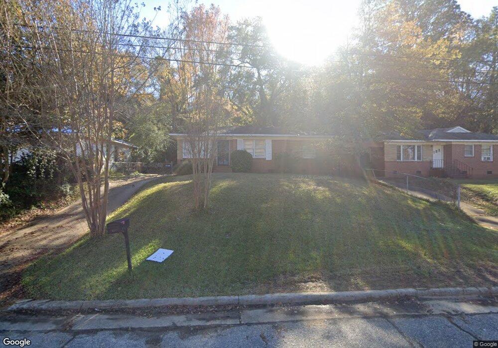
4020 Union St Columbus, GA 31903
Southern Columbus NeighborhoodEstimated Value: $63,000 - $138,000
2
Beds
2
Baths
1,015
Sq Ft
$92/Sq Ft
Est. Value
About This Home
This home is located at 4020 Union St, Columbus, GA 31903 and is currently estimated at $93,567, approximately $92 per square foot. 4020 Union St is a home located in Muscogee County with nearby schools including Dorothy Height Elementary School, Eddy Middle School, and Spencer High School.
Ownership History
Date
Name
Owned For
Owner Type
Purchase Details
Closed on
Apr 8, 2018
Sold by
Ericson Dennis E
Bought by
Ericson Donna Linda
Current Estimated Value
Purchase Details
Closed on
Oct 20, 2009
Sold by
Rp Investment Group Llc
Bought by
Ericson Dennis E
Purchase Details
Closed on
Apr 20, 2009
Sold by
Freeport Title & Guaranty Inc
Bought by
Rp Investment Group Llc
Purchase Details
Closed on
Jan 18, 2008
Sold by
Gibson Clarence L
Bought by
Freeport Title & Guaranty Inc
Create a Home Valuation Report for This Property
The Home Valuation Report is an in-depth analysis detailing your home's value as well as a comparison with similar homes in the area
Home Values in the Area
Average Home Value in this Area
Purchase History
| Date | Buyer | Sale Price | Title Company |
|---|---|---|---|
| Ericson Donna Linda | -- | -- | |
| Ericson Dennis E | $30,000 | None Available | |
| Rp Investment Group Llc | $25,000 | None Available | |
| Freeport Title & Guaranty Inc | -- | None Available |
Source: Public Records
Tax History Compared to Growth
Tax History
| Year | Tax Paid | Tax Assessment Tax Assessment Total Assessment is a certain percentage of the fair market value that is determined by local assessors to be the total taxable value of land and additions on the property. | Land | Improvement |
|---|---|---|---|---|
| 2025 | $970 | $24,792 | $5,700 | $19,092 |
| 2024 | $949 | $24,232 | $4,212 | $20,020 |
| 2023 | $955 | $24,232 | $4,212 | $20,020 |
| 2022 | $782 | $19,148 | $4,212 | $14,936 |
| 2021 | $734 | $17,968 | $4,212 | $13,756 |
| 2020 | $734 | $17,968 | $4,212 | $13,756 |
| 2019 | $736 | $17,968 | $4,212 | $13,756 |
| 2018 | $736 | $17,968 | $4,212 | $13,756 |
| 2017 | $739 | $17,968 | $4,212 | $13,756 |
| 2016 | $551 | $13,348 | $1,680 | $11,668 |
| 2015 | $221 | $13,348 | $1,680 | $11,668 |
| 2014 | $221 | $13,348 | $1,680 | $11,668 |
| 2013 | -- | $13,348 | $1,680 | $11,668 |
Source: Public Records
Map
Nearby Homes
- 1511 Foye Ave
- 1514 Bowman St
- 4163 Swann St
- 37 Muscogee Dr
- 3909 Commander Dr
- 4344 Cusseta Rd
- 15 Lowe Dr
- 7 Esquiline Dr
- 3815 Baker Plaza Dr
- 1434 John Smith Ave
- 3 Kent Ct
- 13 Esquiline Dr
- 2193 Shelby St
- 34 Esquiline Dr
- 2353 Shelby St
- 4510 Tracy St
- 3711 Youmans St
- 1234 Hanover Ave
- 4512 Lunsford St
- 3522 Youmans St