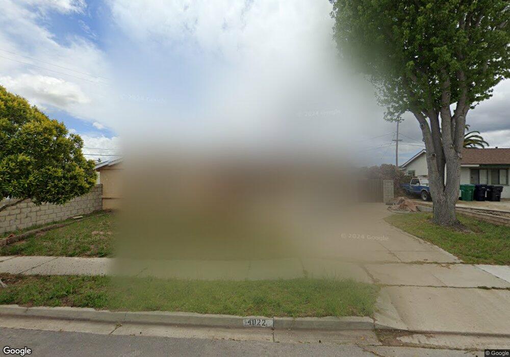
4022 Polaris Ave Unit 1 Lompoc, CA 93436
Estimated Value: $515,893 - $599,000
4
Beds
2
Baths
1,296
Sq Ft
$438/Sq Ft
Est. Value
About This Home
This home is located at 4022 Polaris Ave Unit 1, Lompoc, CA 93436 and is currently estimated at $567,473, approximately $437 per square foot. 4022 Polaris Ave Unit 1 is a home located in Santa Barbara County with nearby schools including Buena Vista Elementary School, Cabrillo High School, and Olive Grove Charter - Lompoc.
Ownership History
Date
Name
Owned For
Owner Type
Purchase Details
Closed on
Mar 14, 2015
Sold by
Jackson Theodore and Jackson Shelie
Bought by
Jackson Theodore
Current Estimated Value
Home Financials for this Owner
Home Financials are based on the most recent Mortgage that was taken out on this home.
Original Mortgage
$185,000
Outstanding Balance
$64,186
Interest Rate
2.91%
Mortgage Type
New Conventional
Estimated Equity
$503,287
Purchase Details
Closed on
Nov 3, 1993
Sold by
Jackson Deborah Lee
Bought by
Jackson Theodore
Home Financials for this Owner
Home Financials are based on the most recent Mortgage that was taken out on this home.
Original Mortgage
$108,000
Interest Rate
7.09%
Mortgage Type
VA
Create a Home Valuation Report for This Property
The Home Valuation Report is an in-depth analysis detailing your home's value as well as a comparison with similar homes in the area
Home Values in the Area
Average Home Value in this Area
Purchase History
| Date | Buyer | Sale Price | Title Company |
|---|---|---|---|
| Jackson Theodore | -- | Fidelity National Title Co | |
| Jackson Theodore | $18,000 | Stewart Title Of Santa Barba |
Source: Public Records
Mortgage History
| Date | Status | Borrower | Loan Amount |
|---|---|---|---|
| Open | Jackson Theodore | $185,000 | |
| Previous Owner | Jackson Theodore | $108,000 |
Source: Public Records
Tax History Compared to Growth
Tax History
| Year | Tax Paid | Tax Assessment Tax Assessment Total Assessment is a certain percentage of the fair market value that is determined by local assessors to be the total taxable value of land and additions on the property. | Land | Improvement |
|---|---|---|---|---|
| 2025 | $2,417 | $197,112 | $86,116 | $110,996 |
| 2023 | $2,417 | $189,460 | $82,773 | $106,687 |
| 2022 | $2,379 | $185,746 | $81,150 | $104,596 |
| 2021 | $2,401 | $182,105 | $79,559 | $102,546 |
| 2020 | $2,378 | $180,239 | $78,744 | $101,495 |
| 2019 | $2,344 | $176,705 | $77,200 | $99,505 |
| 2018 | $2,312 | $173,241 | $75,687 | $97,554 |
| 2017 | $2,185 | $169,845 | $74,203 | $95,642 |
| 2016 | $1,878 | $166,516 | $72,749 | $93,767 |
| 2014 | -- | $160,804 | $70,254 | $90,550 |
Source: Public Records
Map
Nearby Homes
- 4108 Constellation Rd
- 4139 Constellation Rd Unit 2
- 252 Pegasus Ave
- 3951 Mesa Circle Dr
- 129 Hercules Ave
- 113 Gemini Ave
- 4021 Muirfield Place
- 4490 Sirius Ave
- 3939 Saturn Ave
- 298 Saint Andrews Way
- 52 Stanford Cir
- 384 Falcon Crest Dr
- 561 Andromeda Dr
- 0 Oak Hill Dr Unit 24-783
- 210 Oak Hill Dr
- 240 Oak Hill Dr
- 3725 Jupiter Ave
- 4464 Greenbrier Rd
- 579 Saint Andrews Way
- 721 Goddard Dr
- 4032 Polaris Ave Unit 1
- 233 Altair Ave
- 4017 Altair Place
- 241 Altair Ave Unit 2
- 4042 Polaris Ave
- 4025 Polaris Ave
- 4017 Polaris Ave
- 245 Altair Ave
- 4033 Polaris Ave
- 4009 Polaris Ave
- 4041 Polaris Ave Unit 1
- 4052 Polaris Ave
- 232 Altair Ave
- 4001 Polaris Ave
- 224 Altair Ave
- 236 Altair Ave Unit 2
- 242 Altair Ave