4024 Tarrant Trace Cir High Point, NC 27265
East Fork Deep River NeighborhoodEstimated Value: $208,000 - $251,000
Highlights
- Built-In Refrigerator
- Traditional Architecture
- Forced Air Heating and Cooling System
- Colfax Elementary School Rated A-
- No HOA
- Fenced
About This Home
As of June 2012Energy star and Green Rating means Lower Utility bills, pre wired phone and cable. and much more! Must see!
Condo Details
Home Type
- Condominium
Year Built
- Built in 2009
Lot Details
- 1,307
Parking
- No Garage
Home Design
- Traditional Architecture
- Vinyl Siding
Kitchen
- Free-Standing Range
- Built-In Refrigerator
- Dishwasher
- Disposal
Flooring
- Carpet
- Vinyl
Bedrooms and Bathrooms
- 3 Bedrooms
- 2 Full Bathrooms
Utilities
- Forced Air Heating and Cooling System
- Heating System Uses Natural Gas
- Gas Water Heater
Additional Features
- Property has 2 Levels
- Fenced
Community Details
- No Home Owners Association
- Tarrant Trace Ph 02 Subdivision
Listing and Financial Details
- Security Deposit $990
- 12-Month Minimum Lease Term
Ownership History
Purchase Details
Purchase Details
Purchase Details
Purchase Details
Home Values in the Area
Average Home Value in this Area
Purchase History
| Date | Buyer | Sale Price | Title Company |
|---|---|---|---|
| Amh Nc Properties Lp | -- | None Available | |
| Amh Nc Properties Lp | -- | None Available | |
| Arp 2014-1 Borrower Llc | -- | -- | |
| American Residential Leasing Company Llc | $1,625,000 | -- | |
| Bds Investments Llc | $203,000 | -- |
Property History
| Date | Event | Price | List to Sale | Price per Sq Ft |
|---|---|---|---|---|
| 06/15/2012 06/15/12 | Rented | $990 | 0.0% | -- |
| 05/16/2012 05/16/12 | Under Contract | -- | -- | -- |
| 05/10/2012 05/10/12 | For Rent | $990 | -- | -- |
Tax History Compared to Growth
Tax History
| Year | Tax Paid | Tax Assessment Tax Assessment Total Assessment is a certain percentage of the fair market value that is determined by local assessors to be the total taxable value of land and additions on the property. | Land | Improvement |
|---|---|---|---|---|
| 2025 | $2,246 | $163,000 | $55,000 | $108,000 |
| 2024 | $2,246 | $163,000 | $55,000 | $108,000 |
| 2023 | $2,246 | $163,000 | $55,000 | $108,000 |
| 2022 | $2,197 | $163,000 | $55,000 | $108,000 |
| 2021 | $1,480 | $107,400 | $24,000 | $83,400 |
| 2020 | $1,480 | $107,400 | $24,000 | $83,400 |
| 2019 | $1,480 | $107,400 | $0 | $0 |
| 2018 | $1,473 | $107,400 | $0 | $0 |
| 2017 | $1,473 | $107,400 | $0 | $0 |
| 2016 | $1,572 | $112,100 | $0 | $0 |
| 2015 | $1,581 | $112,100 | $0 | $0 |
| 2014 | $1,608 | $112,100 | $0 | $0 |
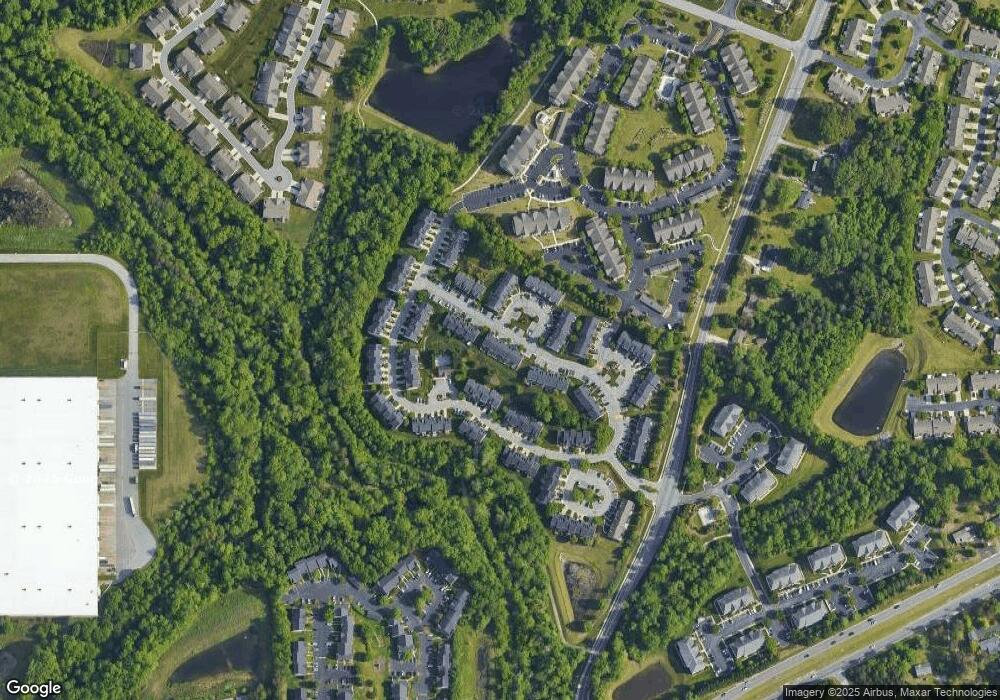
Map
Source: Triad MLS
MLS Number: 642675
APN: 0211815
Disclaimer: Certain information contained herein is derived from information provided by parties other than Homes.com. All information provided is deemed reliable, but is not guaranteed to be accurate and should be independently verified.
![]() Copyright 2025 Triad MLS, Inc. All rights reserved. IDX information is provided exclusively for personal, non-commercial use, and may not be used for any purpose other than to identify prospective properties consumers may be interested in purchasing. Information is deemed reliable but not guaranteed. This site will be monitored for ‘scraping’ and any use of search facilities of data on the site other than by potential buyers/sellers is prohibited. All Sale data is for informational purposes only and is not an indication of a market analysis or appraisal. Properties marked with the Triad MLS, Inc. icon are provided courtesy of the Triad MLS, Inc.’s, Internet Data Exchange Database.
Copyright 2025 Triad MLS, Inc. All rights reserved. IDX information is provided exclusively for personal, non-commercial use, and may not be used for any purpose other than to identify prospective properties consumers may be interested in purchasing. Information is deemed reliable but not guaranteed. This site will be monitored for ‘scraping’ and any use of search facilities of data on the site other than by potential buyers/sellers is prohibited. All Sale data is for informational purposes only and is not an indication of a market analysis or appraisal. Properties marked with the Triad MLS, Inc. icon are provided courtesy of the Triad MLS, Inc.’s, Internet Data Exchange Database.
- 4134 Tarrant Trace Cir
- 4285 Cedarcroft Ct Unit 3D
- 4290 Cedarcroft Ct Unit 3A
- 4345 Cedarcroft Ct Unit 1D
- 4332 Grassy Moss Dr
- 3614 Morris Farm Dr Unit 1A
- 4314 Rocky Brook Ct
- 3624 Morris Farm Dr Unit 2B
- 3642 Morris Farm Dr Unit 3A
- 3638 Morris Farm Dr Unit 3B
- 4452 River Forest Ln
- 405 White Spruce Ct
- 4794 Mount Hope Dr
- 4603 Village Square Ct
- 3212 Morris Farm Dr
- 4006 Maid Marion Ct
- 2907 Beckworth Ct
- 3929 Lake Meadow Dr
- 3112 Peninsula Dr
- 6505 Woodmont Rd
- 4026 Tarrant Trace Cir
- 4022 Tarrant Trace Cir
- 4028 Tarrant Trace Cir
- 4020 Tarrant Trace Cir
- 4030 Tarrant Trace Cir
- 4012 Tarrant Trace Cir
- 4010 Tarrant Trace Cir
- 4042 Tarrant Trace Cir
- 4008 Tarrant Trace Cir
- 4044 Tarrant Trace Cir
- 4046 Tarrant Trace Cir
- 4013 Tarrant Trace Cir
- 3858 Tarrant Trace Cir
- 3856 Tarrant Trace Cir
- 3860 Tarrant Trace Cir
- 3862 Tarrant Trace Cir
- 3854 Tarrant Trace
- 3854 Tarrant Trace Cir
- 4048 Tarrant Trace Cir
- 3852 Tarrant Trace Cir