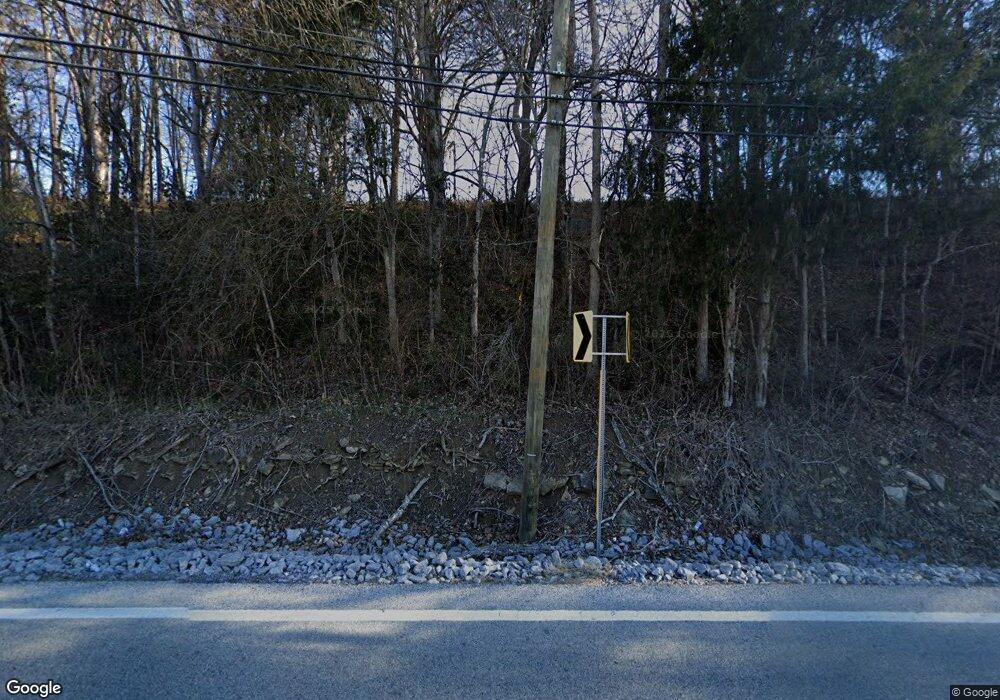
4025 Highway 141 N Hartsville, TN 37074
Estimated Value: $470,000 - $573,000
--
Bed
2
Baths
2,980
Sq Ft
$176/Sq Ft
Est. Value
About This Home
This home is located at 4025 Highway 141 N, Hartsville, TN 37074 and is currently estimated at $525,524, approximately $176 per square foot. 4025 Highway 141 N is a home located in Trousdale County with nearby schools including Trousdale County Elementary School, Trousdale County High School, and Jim Satterfield Middle School.
Ownership History
Date
Name
Owned For
Owner Type
Purchase Details
Closed on
Jun 13, 2023
Sold by
Crenshaw Bobby
Bought by
Holder Eric and Holder April
Current Estimated Value
Purchase Details
Closed on
Jan 21, 2022
Sold by
Holder and Eric
Bought by
Holder Seth
Purchase Details
Closed on
Mar 29, 2019
Sold by
Williams Stacey
Bought by
Holder April and Holder Eric
Purchase Details
Closed on
Mar 12, 1999
Bought by
Holder Eric April
Create a Home Valuation Report for This Property
The Home Valuation Report is an in-depth analysis detailing your home's value as well as a comparison with similar homes in the area
Home Values in the Area
Average Home Value in this Area
Purchase History
| Date | Buyer | Sale Price | Title Company |
|---|---|---|---|
| Holder Eric | $90,000 | None Listed On Document | |
| Holder Seth | -- | None Listed On Document | |
| Holder April | $30,000 | -- | |
| Holder Eric April | $24,000 | -- |
Source: Public Records
Tax History Compared to Growth
Tax History
| Year | Tax Paid | Tax Assessment Tax Assessment Total Assessment is a certain percentage of the fair market value that is determined by local assessors to be the total taxable value of land and additions on the property. | Land | Improvement |
|---|---|---|---|---|
| 2024 | $2,707 | $99,600 | $24,225 | $75,375 |
| 2023 | $2,597 | $99,600 | $24,225 | $75,375 |
| 2022 | $2,600 | $99,600 | $24,225 | $75,375 |
| 2021 | $2,375 | $99,600 | $24,225 | $75,375 |
| 2020 | $2,375 | $71,650 | $12,450 | $59,200 |
| 2019 | $2,375 | $71,650 | $12,450 | $59,200 |
| 2018 | $2,182 | $54,425 | $9,575 | $44,850 |
| 2017 | $2,138 | $54,425 | $9,575 | $44,850 |
| 2016 | $2,199 | $54,425 | $9,575 | $44,850 |
| 2015 | $2,318 | $54,425 | $9,575 | $44,850 |
| 2014 | $2,323 | $54,525 | $9,575 | $44,950 |
Source: Public Records
Map
Nearby Homes
- 565 Thoroughbred Ln
- 330 Thoroughbred Ln
- 565 Bridle Path Ln
- 525 Bridle Path Ln
- 0 Bridle Path Ln Unit RTC3037386
- 0 Bridle Path Ln Unit RTC3037584
- 0 Tennessee 10 Unit RTC3002720
- 0 Tennessee 10 Unit RTC3002721
- 875 Dalton Hollow Rd
- 0 Mcmurry Blvd W Unit RTC3001515
- 109 Hall St
- 313 Andrews Ave
- 215 Scenic Ln
- 312B W Main St Unit B
- 195 Scenic Ln
- 0 Industrial Park Dr
- 180 Scenic Ln
- 200 Western Ave
- 112 Cato St
- 138 Greentop St
- 4075 Highway 141 N
- 525 Thoroughbred Ln
- 0 Hwy 141 N
- 0 Route 141
- 675 Thoroughbred Ln
- 425 Thoroughbred Ln
- 530 Thoroughbred Ln
- 500 Thoroughbred Ln
- 650 Thoroughbred Ln
- 560 Thoroughbred Ln
- 405 Thoroughbred Ln
- 470 Thoroughbred Ln
- 205 Thoroughbred Ln
- 215 Thoroughbred Ln
- 195 Thoroughbred Ln
- 145 Thoroughbred Ln
- 265 Thoroughbred Ln
- 285 Thoroughbred Ln
- 385 Thoroughbred Ln
- 125 Thoroughbred Ln
