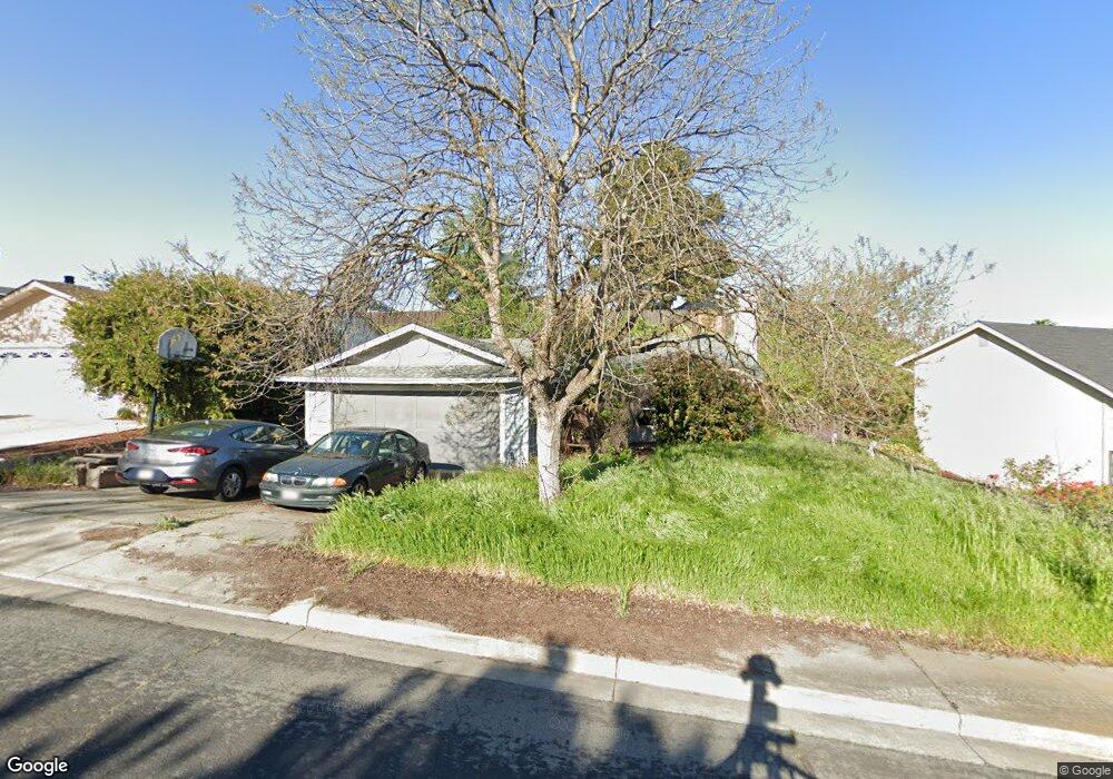
4028 Saint Andrews Way Antioch, CA 94509
Lone Tree Valley NeighborhoodEstimated Value: $520,000 - $577,000
3
Beds
2
Baths
1,075
Sq Ft
$509/Sq Ft
Est. Value
About This Home
This home is located at 4028 Saint Andrews Way, Antioch, CA 94509 and is currently estimated at $547,327, approximately $509 per square foot. 4028 Saint Andrews Way is a home located in Contra Costa County with nearby schools including Sutter Elementary School, Park Middle School, and Antioch High School.
Ownership History
Date
Name
Owned For
Owner Type
Purchase Details
Closed on
Jun 4, 2015
Sold by
Halladay James P
Bought by
Shields Ralph
Current Estimated Value
Home Financials for this Owner
Home Financials are based on the most recent Mortgage that was taken out on this home.
Original Mortgage
$273,228
Outstanding Balance
$210,636
Interest Rate
3.62%
Mortgage Type
VA
Estimated Equity
$336,691
Create a Home Valuation Report for This Property
The Home Valuation Report is an in-depth analysis detailing your home's value as well as a comparison with similar homes in the area
Home Values in the Area
Average Home Value in this Area
Purchase History
| Date | Buyer | Sale Price | Title Company |
|---|---|---|---|
| Shields Ralph | $264,500 | First American Title Company |
Source: Public Records
Mortgage History
| Date | Status | Borrower | Loan Amount |
|---|---|---|---|
| Open | Shields Ralph | $273,228 |
Source: Public Records
Tax History Compared to Growth
Tax History
| Year | Tax Paid | Tax Assessment Tax Assessment Total Assessment is a certain percentage of the fair market value that is determined by local assessors to be the total taxable value of land and additions on the property. | Land | Improvement |
|---|---|---|---|---|
| 2025 | $4,023 | $317,879 | $90,133 | $227,746 |
| 2024 | $3,917 | $311,647 | $88,366 | $223,281 |
| 2023 | $3,917 | $305,537 | $86,634 | $218,903 |
| 2022 | $3,858 | $299,547 | $84,936 | $214,611 |
| 2021 | $3,707 | $293,674 | $83,271 | $210,403 |
| 2019 | $3,659 | $284,965 | $80,802 | $204,163 |
| 2018 | $3,531 | $279,378 | $79,218 | $200,160 |
| 2017 | $3,442 | $273,901 | $77,665 | $196,236 |
| 2016 | $3,364 | $268,532 | $76,143 | $192,389 |
| 2015 | $2,348 | $176,764 | $56,560 | $120,204 |
| 2014 | $2,276 | $173,303 | $55,453 | $117,850 |
Source: Public Records
Map
Nearby Homes
- 4041 Saint Andrews Way
- 4109 S Royal Links Cir
- 4002 Royal Links Ct
- 4010 Boulder Dr
- 4688 Matterhorn Way
- 4729 Matterhorn Ct
- 4737 Crestone Peak Ct
- 318 Redrock Dr
- 137 Rainier Ln
- 3401 Longview Rd
- 5 Terranova Dr
- 4721 Torreys Peak Ct
- 36 Terranova Dr
- 4836 Belford Peak Way
- 4925 Cache Peak Dr
- 0000 Phillips Ln
- 4864 Belford Peak Way
- 4064 Montgomery Hill Dr
- 3112 View Dr
- 3513 Stone Place
- 4024 Saint Andrews Way
- 4032 Saint Andrews Way
- 4032 St Andrews Way
- 4105 Spyglass Ct
- 4018 Saint Andrews Way
- 4038 Saint Andrews Way
- 4100 Spyglass Ct
- 4109 Spyglass Ct
- 4014 Saint Andrews Way
- 4029 Saint Andrews Way
- 4033 Saint Andrews Way
- 4042 Saint Andrews Way
- 4025 Saint Andrews Way
- 4037 Saint Andrews Way
- 4021 Saint Andrews Way
- 4008 Saint Andrews Way
- 4017 Saint Andrews Way
- 4114 S Royal Links Cir
- 4118 S Royal Links Cir
- 4104 Spyglass Ct