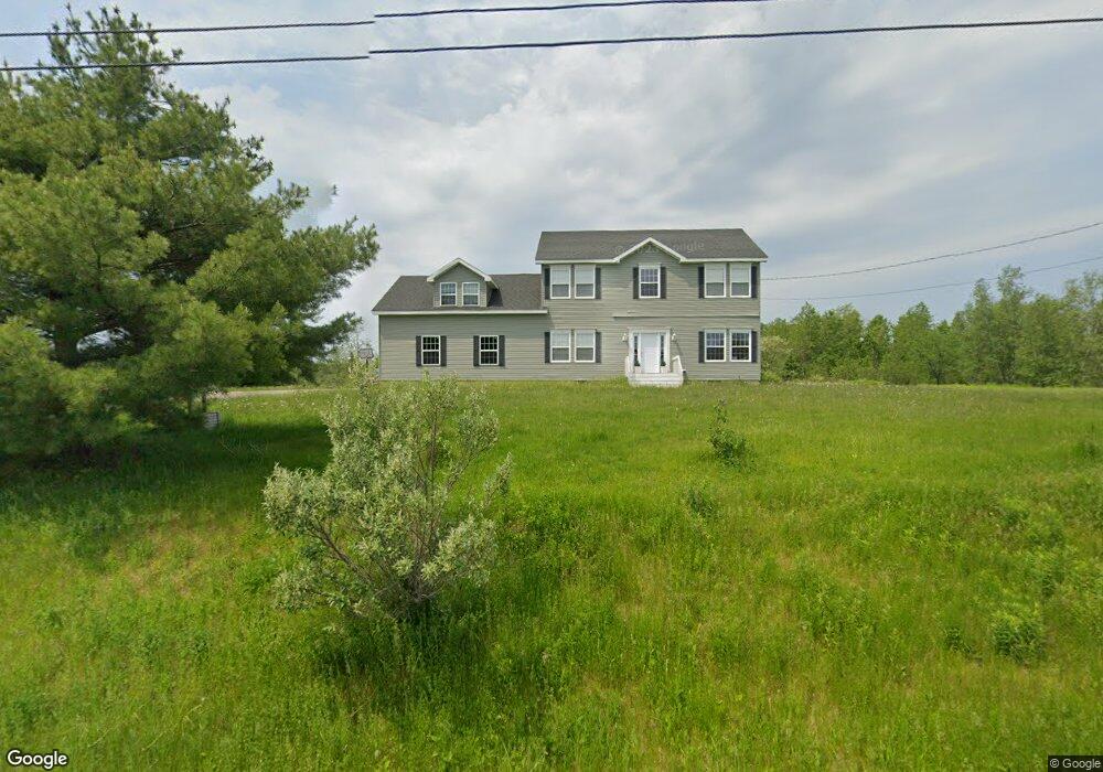
403 Day Rd Brewer, ME 04412
Estimated Value: $387,000 - $662,000
4
Beds
2
Baths
2,016
Sq Ft
$236/Sq Ft
Est. Value
About This Home
This home is located at 403 Day Rd, Brewer, ME 04412 and is currently estimated at $475,126, approximately $235 per square foot. 403 Day Rd is a home located in Penobscot County with nearby schools including Brewer Community School and Brewer High School.
Ownership History
Date
Name
Owned For
Owner Type
Purchase Details
Closed on
May 2, 2017
Sold by
Bertolino Jessica D
Bought by
Bertolino James B
Current Estimated Value
Home Financials for this Owner
Home Financials are based on the most recent Mortgage that was taken out on this home.
Original Mortgage
$212,000
Outstanding Balance
$176,818
Interest Rate
4.38%
Mortgage Type
New Conventional
Estimated Equity
$298,308
Purchase Details
Closed on
Nov 4, 2016
Sold by
Bertolino James B and Bertolino Jessica
Bought by
Bertolino James A and Bertolino Elaine C
Purchase Details
Closed on
Aug 18, 2011
Sold by
Gusha Soudia and Bernikho Nuffisa
Bought by
Bertolino James B
Home Financials for this Owner
Home Financials are based on the most recent Mortgage that was taken out on this home.
Original Mortgage
$24,345
Interest Rate
4.62%
Mortgage Type
Purchase Money Mortgage
Create a Home Valuation Report for This Property
The Home Valuation Report is an in-depth analysis detailing your home's value as well as a comparison with similar homes in the area
Home Values in the Area
Average Home Value in this Area
Purchase History
| Date | Buyer | Sale Price | Title Company |
|---|---|---|---|
| Bertolino James B | -- | -- | |
| Bertolino James B | -- | -- | |
| Bertolino James A | -- | -- | |
| Bertolino James A | -- | -- | |
| Bertolino James B | -- | -- | |
| Bertolino James B | -- | -- | |
| Bertolino James B | -- | -- |
Source: Public Records
Mortgage History
| Date | Status | Borrower | Loan Amount |
|---|---|---|---|
| Open | Bertolino James B | $212,000 | |
| Closed | Bertolino James B | $212,000 | |
| Closed | Bertolino James B | $200,900 | |
| Closed | Bertolino James B | $24,345 |
Source: Public Records
Tax History Compared to Growth
Tax History
| Year | Tax Paid | Tax Assessment Tax Assessment Total Assessment is a certain percentage of the fair market value that is determined by local assessors to be the total taxable value of land and additions on the property. | Land | Improvement |
|---|---|---|---|---|
| 2024 | $6,243 | $332,100 | $33,300 | $298,800 |
| 2023 | $6,030 | $300,000 | $32,000 | $268,000 |
| 2021 | $5,727 | $256,800 | $30,700 | $226,100 |
| 2020 | $5,264 | $256,400 | $30,700 | $225,700 |
| 2019 | $5,187 | $256,400 | $30,700 | $225,700 |
| 2018 | $5,015 | $242,500 | $30,700 | $211,800 |
| 2017 | $1,027 | $242,500 | $30,700 | $211,800 |
| 2016 | $360 | $243,400 | $31,600 | $211,800 |
| 2015 | $5,023 | $243,400 | $31,600 | $211,800 |
| 2014 | $5,186 | $247,900 | $31,600 | $216,300 |
| 2013 | $4,778 | $228,400 | $25,000 | $203,400 |
Source: Public Records
Map
Nearby Homes
- 00 Lambert Rd(map 4-14 & 4-14-01)
- 388 Lambert Rd
- 4 Black Bear Rd
- 33 Black Bear Rd
- 90 Woodridge Rd
- 43 Lambert Rd
- 18 Rowell Rd
- 784 Eastern Ave
- 1241 N Main St
- 146 Eagle Ridge Rd
- 15 Main Rd
- 12 Appomattox Rd
- 20 Lakeman Ln
- 245 Eastern Ave
- 80 Emerald Dr
- 1016 State St Unit 7
- 29 Thompson Rd
- 17 Allison Park
- 20 Thompson Rd
- 0 Wilson St Unit M2 L1