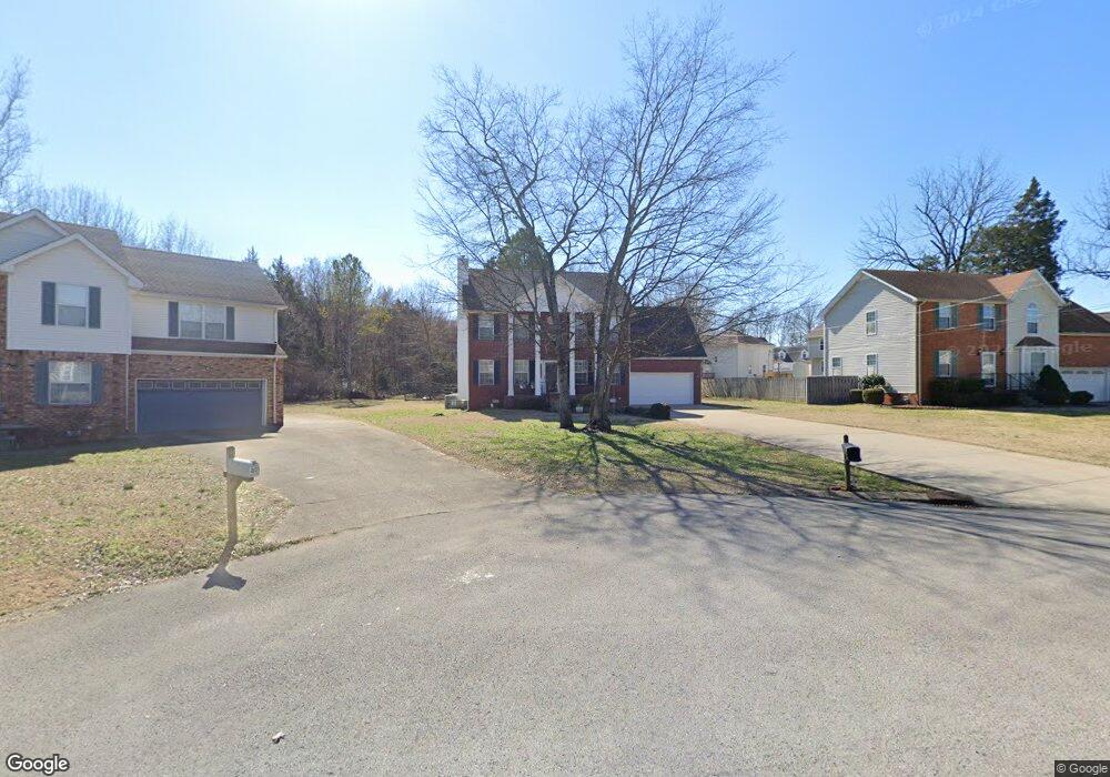
403 Pointe Clear Dr Smyrna, TN 37167
Estimated Value: $372,928 - $429,000
--
Bed
3
Baths
2,022
Sq Ft
$199/Sq Ft
Est. Value
About This Home
This home is located at 403 Pointe Clear Dr, Smyrna, TN 37167 and is currently estimated at $402,232, approximately $198 per square foot. 403 Pointe Clear Dr is a home located in Rutherford County with nearby schools including Rocky Fork Elementary School, Rocky Fork Middle School, and Smyrna High School.
Ownership History
Date
Name
Owned For
Owner Type
Purchase Details
Closed on
May 9, 2005
Sold by
Eric Rodell
Bought by
Rodell Kathy S
Current Estimated Value
Home Financials for this Owner
Home Financials are based on the most recent Mortgage that was taken out on this home.
Original Mortgage
$124,400
Outstanding Balance
$64,612
Interest Rate
5.88%
Mortgage Type
Purchase Money Mortgage
Estimated Equity
$337,620
Create a Home Valuation Report for This Property
The Home Valuation Report is an in-depth analysis detailing your home's value as well as a comparison with similar homes in the area
Home Values in the Area
Average Home Value in this Area
Purchase History
| Date | Buyer | Sale Price | Title Company |
|---|---|---|---|
| Rodell Kathy S | -- | -- |
Source: Public Records
Mortgage History
| Date | Status | Borrower | Loan Amount |
|---|---|---|---|
| Open | Rodell Kathy S | $124,400 |
Source: Public Records
Tax History Compared to Growth
Tax History
| Year | Tax Paid | Tax Assessment Tax Assessment Total Assessment is a certain percentage of the fair market value that is determined by local assessors to be the total taxable value of land and additions on the property. | Land | Improvement |
|---|---|---|---|---|
| 2025 | -- | $80,675 | $13,750 | $66,925 |
| 2024 | -- | $80,675 | $13,750 | $66,925 |
| 2023 | $1,938 | $80,675 | $13,750 | $66,925 |
| 2022 | $1,728 | $80,675 | $13,750 | $66,925 |
| 2021 | $1,760 | $60,275 | $10,500 | $49,775 |
| 2020 | $1,760 | $60,275 | $10,500 | $49,775 |
| 2019 | $1,760 | $60,275 | $10,500 | $49,775 |
| 2018 | $1,687 | $60,275 | $0 | $0 |
| 2017 | $1,625 | $45,600 | $0 | $0 |
| 2016 | $1,625 | $45,600 | $0 | $0 |
| 2015 | $1,625 | $45,600 | $0 | $0 |
| 2014 | $1,134 | $45,600 | $0 | $0 |
| 2013 | -- | $43,000 | $0 | $0 |
Source: Public Records
Map
Nearby Homes
- 416 Mountain View Ct
- 540 Johnstown Dr
- 374 Rock Springs Rd
- 532 Johnstown Dr
- 103 Crestside Ct
- 305 Nasturtium Way
- 107 Crestside Ct
- 506 Mountain View Ct
- 508 Mountain View Ct
- 510 Mountain View Ct
- 502 Johnstown Dr
- 800 Bromley Ct
- 715 Saint Francis Ave
- 650 Spring Hill Dr
- 804 Bromley Ct
- 400 Megan Dr
- 610 Spring Hill Dr
- 614 Spring Hill Dr
- 618 Spring Hill Dr
- 4015 Wisdom Way
- 401 Pointe Clear Dr
- 405 Pointe Clear Dr
- 305 Stafford Ct
- 301 Stafford Ct
- 400 Pointe Clear Dr
- 307 Stafford Ct
- 404 Pointe Clear Dr
- 402 Pointe Clear Dr
- 408 Pointe Clear Dr
- 406 Pointe Clear Dr
- 309 Stafford Ct
- 800 Tony Campbell Ave
- 302 Stafford Ct
- 300 Stafford Ct
- 410 Pointe Clear Dr
- 304 Stafford Ct
- 412 Pointe Clear Dr
- 308 Stafford Ct
- 306 Stafford Ct
- 201 Moorhill Ave