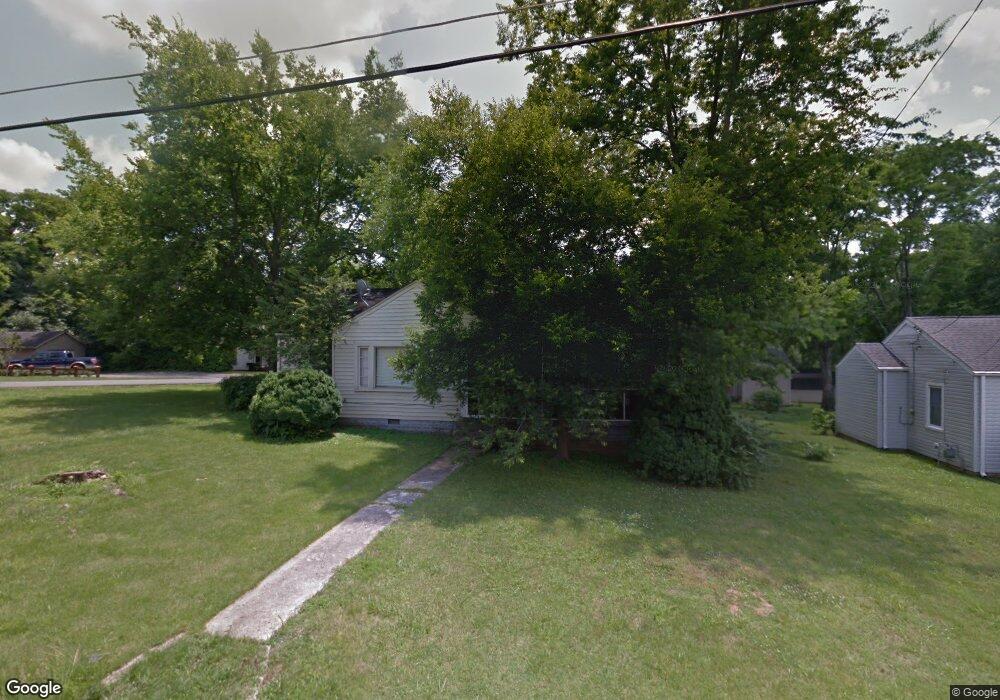
403 W Mcknight Dr Murfreesboro, TN 37129
Estimated Value: $196,000 - $300,000
--
Bed
1
Bath
1,550
Sq Ft
$162/Sq Ft
Est. Value
About This Home
This home is located at 403 W Mcknight Dr, Murfreesboro, TN 37129 and is currently estimated at $251,027, approximately $161 per square foot. 403 W Mcknight Dr is a home located in Rutherford County with nearby schools including Mitchell-Neilson Elementary, Siegel Middle School, and Siegel High School.
Ownership History
Date
Name
Owned For
Owner Type
Purchase Details
Closed on
Mar 5, 2002
Sold by
Timm Matthew A
Bought by
Janice King
Current Estimated Value
Home Financials for this Owner
Home Financials are based on the most recent Mortgage that was taken out on this home.
Original Mortgage
$47,862
Interest Rate
6.95%
Purchase Details
Closed on
Feb 25, 1994
Sold by
Anne Houseman Patricia
Bought by
Alexis Timm Matthew
Create a Home Valuation Report for This Property
The Home Valuation Report is an in-depth analysis detailing your home's value as well as a comparison with similar homes in the area
Home Values in the Area
Average Home Value in this Area
Purchase History
| Date | Buyer | Sale Price | Title Company |
|---|---|---|---|
| Janice King | $55,000 | -- | |
| Alexis Timm Matthew | $54,500 | -- |
Source: Public Records
Mortgage History
| Date | Status | Borrower | Loan Amount |
|---|---|---|---|
| Closed | Alexis Timm Matthew | $47,862 |
Source: Public Records
Tax History Compared to Growth
Tax History
| Year | Tax Paid | Tax Assessment Tax Assessment Total Assessment is a certain percentage of the fair market value that is determined by local assessors to be the total taxable value of land and additions on the property. | Land | Improvement |
|---|---|---|---|---|
| 2025 | $1,579 | $55,825 | $13,750 | $42,075 |
| 2024 | $1,579 | $55,825 | $13,750 | $42,075 |
| 2023 | $1,047 | $55,825 | $13,750 | $42,075 |
| 2022 | $902 | $55,825 | $13,750 | $42,075 |
| 2021 | $793 | $35,725 | $8,750 | $26,975 |
| 2020 | $793 | $35,725 | $8,750 | $26,975 |
| 2019 | $793 | $35,725 | $8,750 | $26,975 |
| 2018 | $1,089 | $35,725 | $0 | $0 |
| 2017 | $1,005 | $25,850 | $0 | $0 |
| 2016 | $1,005 | $25,850 | $0 | $0 |
| 2015 | $1,005 | $25,850 | $0 | $0 |
| 2014 | $643 | $25,850 | $0 | $0 |
| 2013 | -- | $23,200 | $0 | $0 |
Source: Public Records
Map
Nearby Homes
- 1116 Owen Layne Dr
- 1022 Poplar Ave
- 608 Lynn St
- 1007 Grantland Ave
- 1019 N Maple St Unit 2D
- 301 Kingwood Dr
- 906 N Maple St
- 904 N Maple St
- 1006 Jones Blvd
- 1120 White Blvd
- 717 N Church St
- 0 Lebanon Pike Unit RTC2818012
- 1610 Jones Blvd
- 623 Spencer Dr
- 804 N Academy St
- 1006 W Clark Blvd
- 607 Staley St
- 0 Sulphur Springs Rd
- 210 Grandview Dr
- 219 Ridgecrest Dr
- 407 W Mcknight Dr
- 1119 Poplar Ave
- 325 W Mcknight Dr
- 1126 Poplar Ave
- 411 W Mcknight Dr
- 1122 Poplar Ave
- 1115 Poplar Ave
- 406 Knox St
- 415 W Mcknight Dr
- 1118 Poplar Ave
- 410 Knox St
- 1114 Poplar Ave
- 419 W Mcknight Dr
- 401 Knox St
- 414 Knox St
- 405 Knox St
- 1110 Poplar Ave
- 423 W Mcknight Dr
- 409 Knox St
- 1200 Allen Ave