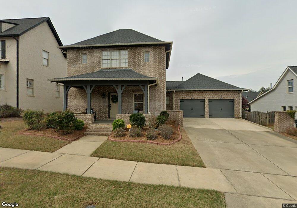
4033 Further Ln Unit 67 Hoover, AL 35226
Ross Bridge NeighborhoodEstimated Value: $565,000 - $632,000
5
Beds
4
Baths
2,232
Sq Ft
$267/Sq Ft
Est. Value
About This Home
This home is located at 4033 Further Ln Unit 67, Hoover, AL 35226 and is currently estimated at $597,025, approximately $267 per square foot. 4033 Further Ln Unit 67 is a home located in Jefferson County with nearby schools including Deer Valley Elementary School, Robert F. Bumpus Middle School, and Hoover High School.
Ownership History
Date
Name
Owned For
Owner Type
Purchase Details
Closed on
Jun 23, 2020
Sold by
Jones Brandon M
Bought by
Osuka Satoru and Osuka Hanako
Current Estimated Value
Home Financials for this Owner
Home Financials are based on the most recent Mortgage that was taken out on this home.
Original Mortgage
$338,400
Outstanding Balance
$299,966
Interest Rate
3.2%
Mortgage Type
New Conventional
Estimated Equity
$297,059
Purchase Details
Closed on
Aug 22, 2014
Sold by
Nsh Corp
Bought by
Jones Brandon M and Jones Christina L
Home Financials for this Owner
Home Financials are based on the most recent Mortgage that was taken out on this home.
Original Mortgage
$339,700
Interest Rate
4.2%
Mortgage Type
New Conventional
Create a Home Valuation Report for This Property
The Home Valuation Report is an in-depth analysis detailing your home's value as well as a comparison with similar homes in the area
Home Values in the Area
Average Home Value in this Area
Purchase History
| Date | Buyer | Sale Price | Title Company |
|---|---|---|---|
| Osuka Satoru | $423,000 | -- | |
| Jones Brandon M | $357,620 | -- |
Source: Public Records
Mortgage History
| Date | Status | Borrower | Loan Amount |
|---|---|---|---|
| Open | Osuka Satoru | $338,400 | |
| Previous Owner | Jones Brandon M | $339,700 |
Source: Public Records
Tax History Compared to Growth
Tax History
| Year | Tax Paid | Tax Assessment Tax Assessment Total Assessment is a certain percentage of the fair market value that is determined by local assessors to be the total taxable value of land and additions on the property. | Land | Improvement |
|---|---|---|---|---|
| 2024 | $3,943 | $56,740 | -- | -- |
| 2022 | $3,422 | $47,860 | $11,500 | $36,360 |
| 2021 | $3,098 | $43,390 | $11,500 | $31,890 |
| 2020 | $3,038 | $42,440 | $11,500 | $30,940 |
| 2019 | $3,098 | $43,400 | $0 | $0 |
| 2018 | $2,805 | $39,360 | $0 | $0 |
| 2017 | $2,677 | $37,600 | $0 | $0 |
| 2016 | $2,581 | $36,280 | $0 | $0 |
| 2015 | $2,581 | $36,280 | $0 | $0 |
| 2014 | -- | $5,960 | $0 | $0 |
Source: Public Records
Map
Nearby Homes
- 2438 Northampton Dr
- 4371 Abbotts Way
- 4295 Abbotts Way
- 4276 Abbotts Way
- 2544 Montauk Rd
- 2572 Montauk Rd
- 4494 Tuckahoe Ln
- 2702 Montauk Rd
- 2625 Montauk Rd
- 2245 Southampton Dr
- 3936 Butler Springs Way
- 2267 Butler Springs Ln
- 1629 Shannon Rd
- 1815 Williamette Trace Unit 1815
- 1801 Williamette Trace Unit 113
- 1801 Williamette Trace Unit 101
- 1801 Williamette Trace Unit 102
- 1860 Williamette Trace Unit 96
- 4038 Adrian St
- 2347 Abbeyglen Cir
- 4033 Further Ln
- 4037 Further Ln
- 4029 Further Ln
- 4023 Newtown Ln Unit 47
- 4023 Newtown Ln
- 4043 Buell Ln
- 4051 Buell Ln
- 4046 Buell Ln
- 4046 Buell Ln Unit 73
- 4042 Buell Ln
- 4038 Further Ln Unit 62
- 1111 Further Ln Unit 67
- 4032 Further Ln Unit 64
- 4032 Further Ln
- 4041 Further Ln
- 4042 Buell Ln
- 4046 Buell Ln
- 2257 Southampton Dr
- 2257 Southampton Dr
- 4058 Buell Ln Unit 70