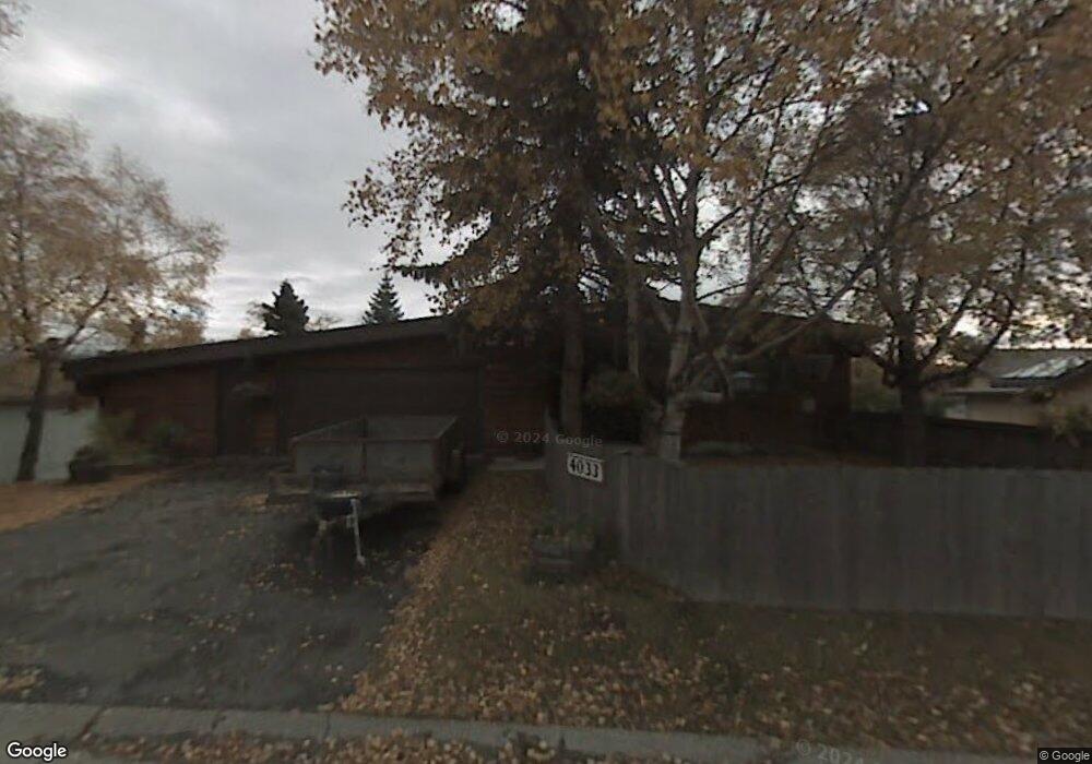
4034 N Point Dr Anchorage, AK 99502
Sand Lake NeighborhoodEstimated Value: $355,000 - $1,462,899
4
Beds
4
Baths
3,483
Sq Ft
$261/Sq Ft
Est. Value
About This Home
This home is located at 4034 N Point Dr, Anchorage, AK 99502 and is currently estimated at $908,950, approximately $260 per square foot. 4034 N Point Dr is a home located in Anchorage Municipality with nearby schools including Kincaid Elementary, Mears Middle School, and Dimond High School.
Ownership History
Date
Name
Owned For
Owner Type
Purchase Details
Closed on
Feb 12, 2010
Sold by
Dreyer Harold B
Bought by
Wright Kim
Current Estimated Value
Purchase Details
Closed on
Oct 8, 2008
Sold by
Dreyer Harold B
Bought by
Dreyer Harold B
Purchase Details
Closed on
Sep 9, 2002
Sold by
Ross Charles E and Ross Melvie L
Bought by
Dreyer Harold B and Dreyer Mary R
Create a Home Valuation Report for This Property
The Home Valuation Report is an in-depth analysis detailing your home's value as well as a comparison with similar homes in the area
Home Values in the Area
Average Home Value in this Area
Purchase History
| Date | Buyer | Sale Price | Title Company |
|---|---|---|---|
| Wright Kim | -- | United Title | |
| Dreyer Harold B | -- | None Available | |
| Dreyer Harold B | -- | -- |
Source: Public Records
Tax History
| Year | Tax Paid | Tax Assessment Tax Assessment Total Assessment is a certain percentage of the fair market value that is determined by local assessors to be the total taxable value of land and additions on the property. | Land | Improvement |
|---|---|---|---|---|
| 2025 | $17,378 | $1,325,600 | $451,000 | $874,600 |
| 2024 | $16,135 | $1,224,400 | $403,300 | $821,100 |
| 2023 | $19,009 | $1,116,200 | $403,300 | $712,900 |
| 2022 | $14,930 | $1,086,600 | $403,300 | $683,300 |
| 2021 | $18,422 | $1,022,300 | $403,300 | $619,000 |
| 2020 | $10,532 | $820,700 | $403,300 | $417,400 |
| 2019 | $13,595 | $831,000 | $403,300 | $427,700 |
| 2018 | $13,458 | $820,600 | $403,300 | $417,300 |
| 2017 | $13,179 | $841,600 | $403,300 | $438,300 |
| 2016 | $11,796 | $855,000 | $403,300 | $451,700 |
| 2015 | $11,796 | $846,400 | $403,300 | $443,100 |
| 2014 | $11,796 | $781,000 | $362,500 | $418,500 |
Source: Public Records
Map
Nearby Homes
- 3864 Quartz Cir
- 3806 N Point Cir
- 3769 Quartz Cir
- 3820 Runestad Cir
- 9261 Kirkwall Cir
- 4240 Endeavor Cir
- 000 W Dimond Blvd
- 9353 Blackberry St Unit 2
- 4140 W 89th Ct
- 9215 Commons Place Unit 5
- 8823 Jewel Terrace St
- 4048 W 88th Ave
- 4024 W 88th Ave
- 10545 Vancouver Cir
- 8731 Jewel Terrace Cir
- L3 Molanary Dr
- 3101 Bettles Bay Loop
- 3360 Chaparral Cir
- 8621 Molanary Dr
- 8601 Molanary Dr Unit 7
- 4034 North Point Dr
- 4033 N Point Dr
- 4024 N Point Dr
- 4024 North Point Dr
- 4023 N Point Dr
- 4044 N Point Dr
- 4044 North Point Dr
- 4021 North Point Dr
- 4021 N Point Dr
- 4100 North Point Dr
- 4020 North Point Dr
- 4019 North Point Dr
- 4019 N Point Dr
- 4031 Tahoe Dr
- 4101 North Point Dr
- 4014 North Point Dr
- 4014 N Point Dr
- 4011 N Point Dr
- 4101 N Point Dr
- 4110 Tahoe Dr
Your Personal Tour Guide
Ask me questions while you tour the home.