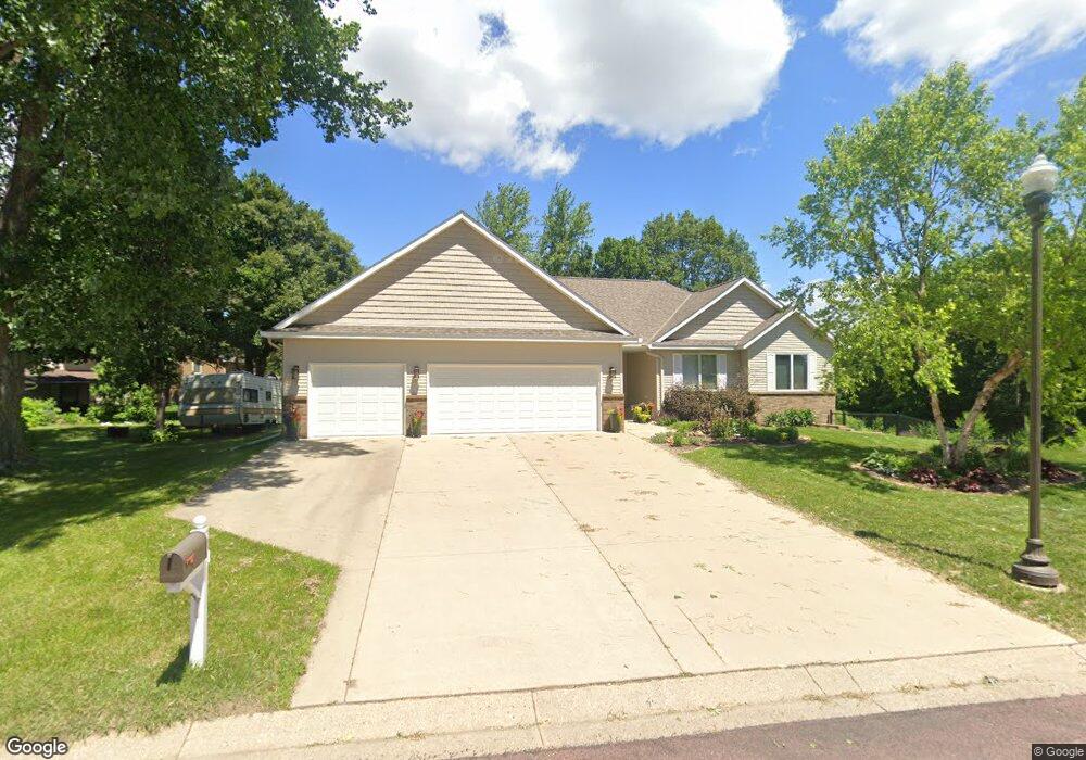
404 404 Ledlie Ln Mankato, MN 56001
Buscher Park NeighborhoodEstimated Value: $464,000 - $497,000
4
Beds
3
Baths
3,176
Sq Ft
$153/Sq Ft
Est. Value
About This Home
This home is located at 404 404 Ledlie Ln, Mankato, MN 56001 and is currently estimated at $485,962, approximately $153 per square foot. 404 404 Ledlie Ln is a home located in Blue Earth County with nearby schools including Rosa Parks Elementary School, Prairie Winds Middle School, and Mankato East Senior High School.
Ownership History
Date
Name
Owned For
Owner Type
Purchase Details
Closed on
Jul 8, 2021
Sold by
Clyde Jay L and Clyde Amy R
Bought by
Pollard Laura An
Current Estimated Value
Home Financials for this Owner
Home Financials are based on the most recent Mortgage that was taken out on this home.
Original Mortgage
$347,000
Outstanding Balance
$314,849
Interest Rate
2.9%
Mortgage Type
New Conventional
Estimated Equity
$171,113
Purchase Details
Closed on
Nov 30, 2018
Sold by
Wullschleger George and Wullschleger Tami
Bought by
Clyde Jay L and Clyde Amy R
Home Financials for this Owner
Home Financials are based on the most recent Mortgage that was taken out on this home.
Original Mortgage
$49,200
Interest Rate
4.8%
Mortgage Type
New Conventional
Purchase Details
Closed on
Aug 21, 2009
Sold by
Haugum John D
Bought by
Wullschleger George and Wullschleger Tami
Create a Home Valuation Report for This Property
The Home Valuation Report is an in-depth analysis detailing your home's value as well as a comparison with similar homes in the area
Home Values in the Area
Average Home Value in this Area
Purchase History
| Date | Buyer | Sale Price | Title Company |
|---|---|---|---|
| Pollard Laura An | $405,000 | Stewart Title | |
| Clyde Jay L | $360,000 | Stewart Title | |
| Wullschleger George | $44,000 | -- |
Source: Public Records
Mortgage History
| Date | Status | Borrower | Loan Amount |
|---|---|---|---|
| Open | Pollard Laura An | $347,000 | |
| Previous Owner | Clyde Jay L | $49,200 |
Source: Public Records
Tax History Compared to Growth
Tax History
| Year | Tax Paid | Tax Assessment Tax Assessment Total Assessment is a certain percentage of the fair market value that is determined by local assessors to be the total taxable value of land and additions on the property. | Land | Improvement |
|---|---|---|---|---|
| 2025 | $6,508 | $441,500 | $54,500 | $387,000 |
| 2024 | $6,508 | $450,900 | $54,400 | $396,500 |
| 2023 | $6,440 | $455,100 | $54,400 | $400,700 |
| 2022 | $6,068 | $425,900 | $54,400 | $371,500 |
| 2021 | $4,574 | $367,200 | $54,400 | $312,800 |
| 2020 | $4,358 | $346,000 | $54,400 | $291,600 |
| 2019 | $4,104 | $346,000 | $54,400 | $291,600 |
| 2018 | $3,900 | $326,600 | $54,400 | $272,200 |
| 2017 | $3,520 | $313,300 | $54,400 | $258,900 |
| 2016 | $2,990 | $297,700 | $54,400 | $243,300 |
| 2015 | $28 | $258,300 | $54,400 | $203,900 |
| 2014 | $716 | $245,300 | $54,400 | $190,900 |
Source: Public Records
Map
Nearby Homes
- 121 Viking Ct
- 205 Viking Dr
- 105 Viking Ct
- 208 Chancery Ln
- 124 Joshua Ct
- 20 Caroletta Ct
- 20 20 Caroletta Ct
- 1040 1040 Stoltzman Rd
- 108 Ella Ct
- 216 216 South Brook Cir
- 117 117 Sienna Cir
- 117 Sienna Cir
- TBD S Brook Way
- 0 Tbd South Brook Way
- 421 421 Woodhaven Ln
- 213 Rosewood Dr
- TBD Woodridge
- 112 Rosewood Dr Unit 108 Rosewood Drive
- 1008 Applewood Ct
- 101 Wickfield Dr