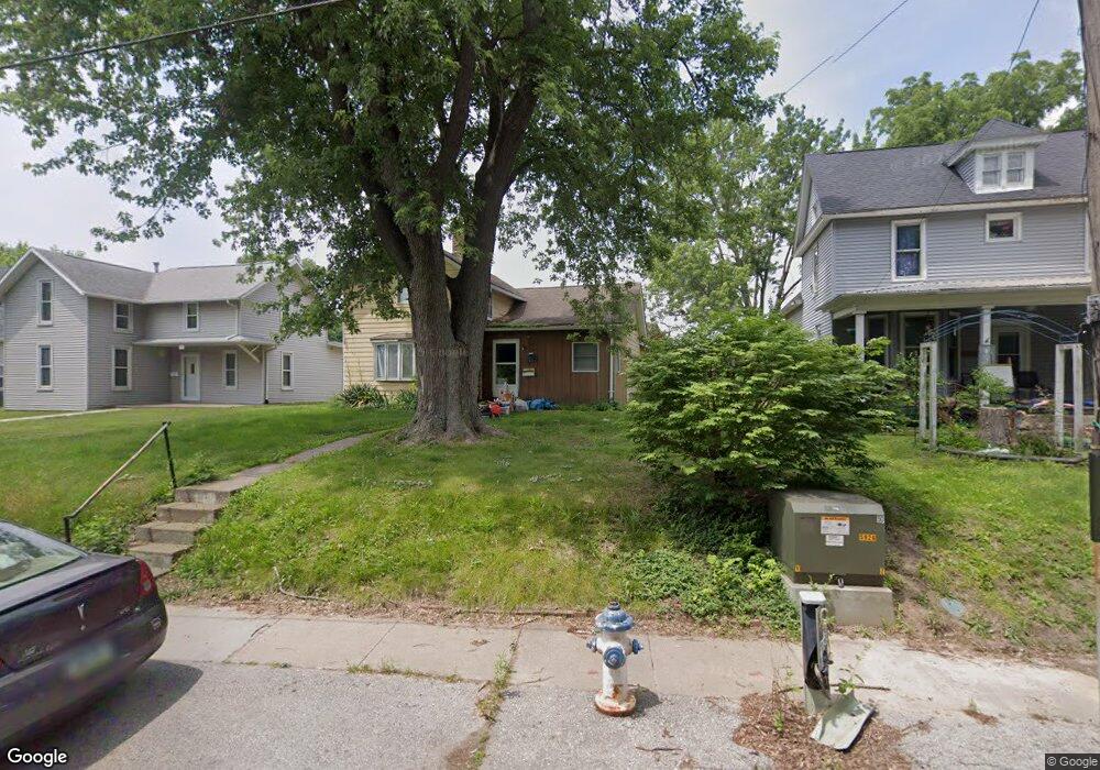
404 Busch St Muscatine, IA 52761
Estimated Value: $144,000 - $163,000
3
Beds
2
Baths
1,696
Sq Ft
$91/Sq Ft
Est. Value
About This Home
This home is located at 404 Busch St, Muscatine, IA 52761 and is currently estimated at $154,372, approximately $91 per square foot. 404 Busch St is a home located in Muscatine County with nearby schools including Franklin Elementary School, Susan Clark Junior High School, and Muscatine High School.
Ownership History
Date
Name
Owned For
Owner Type
Purchase Details
Closed on
Jul 22, 2025
Sold by
Muscatine County
Bought by
Dupaco Community Credit Union
Current Estimated Value
Purchase Details
Closed on
Dec 20, 2005
Sold by
Grothe Paul E and Grothe Phylllis J
Bought by
Schbick Lindsay and Martz Jeffrey
Purchase Details
Closed on
Sep 19, 2005
Sold by
Grothe Kevin P and Grothe Ora Mary William
Bought by
Schubick Lindsay and Martz Jeffrey
Create a Home Valuation Report for This Property
The Home Valuation Report is an in-depth analysis detailing your home's value as well as a comparison with similar homes in the area
Home Values in the Area
Average Home Value in this Area
Purchase History
| Date | Buyer | Sale Price | Title Company |
|---|---|---|---|
| Dupaco Community Credit Union | $60,500 | None Listed On Document | |
| Schbick Lindsay | $34,500 | None Available | |
| Schubick Lindsay | -- | None Available |
Source: Public Records
Tax History Compared to Growth
Tax History
| Year | Tax Paid | Tax Assessment Tax Assessment Total Assessment is a certain percentage of the fair market value that is determined by local assessors to be the total taxable value of land and additions on the property. | Land | Improvement |
|---|---|---|---|---|
| 2025 | $2,156 | $130,430 | $16,350 | $114,080 |
| 2024 | $2,156 | $129,100 | $16,350 | $112,750 |
| 2023 | $2,074 | $124,709 | $16,324 | $108,385 |
| 2022 | $1,972 | $112,030 | $15,400 | $96,630 |
| 2021 | $1,972 | $105,630 | $15,400 | $90,230 |
| 2020 | $1,886 | $98,520 | $13,160 | $85,360 |
| 2019 | $1,884 | $93,780 | $0 | $0 |
| 2018 | $1,854 | $93,780 | $0 | $0 |
| 2017 | $1,854 | $89,040 | $0 | $0 |
| 2016 | $1,816 | $89,040 | $0 | $0 |
| 2015 | $1,816 | $81,440 | $0 | $0 |
| 2014 | $1,656 | $81,440 | $0 | $0 |
Source: Public Records
Map
Nearby Homes
- 0 Parcel 1302108019 (Busch St)
- 1603 Lucas St
- 0 High Street Parcel
- 1827 Hershey Ave
- 836 Newell Ave
- 900 W 3rd St
- 1903 Hershey Ave
- 613 W 5th St
- 1143 Logan St
- 511 W 7th St
- 111 Gilbert St
- LOTS 30-34 Evans St
- 410 Spruce St
- 701 W Mississippi Dr
- 2207 Lucas St
- 609 Liberty St
- 315 W 3rd St
- 208 Fletcher Ave
- 213 W 3rd St
- 518 Roscoe Ave