Estimated Value: $60,000 - $104,000
4
Beds
2
Baths
1,680
Sq Ft
$49/Sq Ft
Est. Value
About This Home
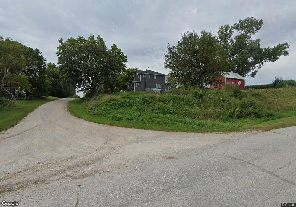
This home is located at 404 Maple Ave, Grant, IA 50847 and is currently estimated at $82,000, approximately $48 per square foot. 404 Maple Ave is a home located in Montgomery County with nearby schools including Griswold Elementary School, Lewis Elementary School, and Griswold Middle/High School.
Ownership History
Date
Name
Owned For
Owner Type
Purchase Details
Closed on
Feb 24, 2025
Sold by
Amos Michael B and Amos Kyla
Bought by
Amos Michael and Amos Kyla
Current Estimated Value
Home Financials for this Owner
Home Financials are based on the most recent Mortgage that was taken out on this home.
Original Mortgage
$152,625
Outstanding Balance
$151,727
Interest Rate
6.96%
Mortgage Type
New Conventional
Estimated Equity
-$69,727
Purchase Details
Closed on
Jul 31, 2009
Sold by
Secretary Of Veterans Affairs
Bought by
Amos Michael B
Create a Home Valuation Report for This Property
The Home Valuation Report is an in-depth analysis detailing your home's value as well as a comparison with similar homes in the area
Purchase History
| Date | Buyer | Sale Price | Title Company |
|---|---|---|---|
| Amos Michael | -- | None Listed On Document | |
| Amos Michael | -- | None Listed On Document | |
| Amos Michael B | $19,000 | -- |
Source: Public Records
Mortgage History
| Date | Status | Borrower | Loan Amount |
|---|---|---|---|
| Open | Amos Michael | $152,625 | |
| Closed | Amos Michael | $152,625 |
Source: Public Records
Tax History
| Year | Tax Paid | Tax Assessment Tax Assessment Total Assessment is a certain percentage of the fair market value that is determined by local assessors to be the total taxable value of land and additions on the property. | Land | Improvement |
|---|---|---|---|---|
| 2025 | $1,106 | $50,040 | $9,870 | $40,170 |
| 2024 | $1,106 | $48,870 | $4,850 | $44,020 |
| 2023 | $1,064 | $48,870 | $4,850 | $44,020 |
| 2022 | $1,036 | $42,480 | $4,850 | $37,630 |
| 2021 | $1,088 | $42,480 | $4,850 | $37,630 |
| 2020 | $1,088 | $42,480 | $4,850 | $37,630 |
| 2019 | $1,012 | $38,680 | $4,850 | $33,830 |
| 2018 | $982 | $38,680 | $0 | $0 |
| 2017 | $916 | $38,680 | $0 | $0 |
| 2015 | $898 | $38,680 | $0 | $0 |
| 2014 | $1,102 | $45,580 | $0 | $0 |
Source: Public Records
Map
Nearby Homes
Your Personal Tour Guide
Ask me questions while you tour the home.