404 Mc Wilder Rd Louisburg, NC 27549
Estimated Value: $358,000 - $442,000
3
Beds
3
Baths
2,005
Sq Ft
$195/Sq Ft
Est. Value
About This Home
This home is located at 404 Mc Wilder Rd, Louisburg, NC 27549 and is currently estimated at $391,857, approximately $195 per square foot. 404 Mc Wilder Rd is a home located in Franklin County with nearby schools including Louisburg Elementary School, Bunn Middle School, and Bunn High School.
Ownership History
Date
Name
Owned For
Owner Type
Purchase Details
Closed on
Apr 23, 2020
Sold by
Cooke Ebony Joy and Estate Of Alfred Lee Cooke
Bought by
Denning Dennis W and Strickland Ella J
Current Estimated Value
Home Financials for this Owner
Home Financials are based on the most recent Mortgage that was taken out on this home.
Original Mortgage
$270,000
Outstanding Balance
$242,897
Interest Rate
4.37%
Mortgage Type
New Conventional
Estimated Equity
$148,960
Purchase Details
Closed on
Apr 30, 2005
Sold by
Fenter Therese L and Fenter Craighton L
Bought by
Cooke Alfred L
Home Financials for this Owner
Home Financials are based on the most recent Mortgage that was taken out on this home.
Original Mortgage
$199,900
Interest Rate
5.25%
Mortgage Type
Adjustable Rate Mortgage/ARM
Create a Home Valuation Report for This Property
The Home Valuation Report is an in-depth analysis detailing your home's value as well as a comparison with similar homes in the area
Home Values in the Area
Average Home Value in this Area
Purchase History
| Date | Buyer | Sale Price | Title Company |
|---|---|---|---|
| Denning Dennis W | $270,000 | None Available | |
| Cooke Alfred L | $200,000 | None Available |
Source: Public Records
Mortgage History
| Date | Status | Borrower | Loan Amount |
|---|---|---|---|
| Open | Denning Dennis W | $270,000 | |
| Previous Owner | Cooke Alfred L | $199,900 |
Source: Public Records
Tax History Compared to Growth
Tax History
| Year | Tax Paid | Tax Assessment Tax Assessment Total Assessment is a certain percentage of the fair market value that is determined by local assessors to be the total taxable value of land and additions on the property. | Land | Improvement |
|---|---|---|---|---|
| 2025 | $1,599 | $261,270 | $56,260 | $205,010 |
| 2024 | $1,573 | $261,270 | $56,260 | $205,010 |
| 2023 | $1,686 | $183,260 | $30,190 | $153,070 |
| 2022 | $1,676 | $183,260 | $30,190 | $153,070 |
| 2021 | $1,694 | $183,260 | $30,190 | $153,070 |
| 2020 | $1,705 | $183,260 | $30,190 | $153,070 |
| 2019 | $1,678 | $183,260 | $30,190 | $153,070 |
| 2018 | $1,676 | $183,260 | $30,190 | $153,070 |
| 2017 | $1,719 | $171,130 | $26,250 | $144,880 |
| 2016 | $1,778 | $171,130 | $26,250 | $144,880 |
| 2015 | $1,778 | $171,130 | $26,250 | $144,880 |
| 2014 | $1,664 | $171,130 | $26,250 | $144,880 |
Source: Public Records
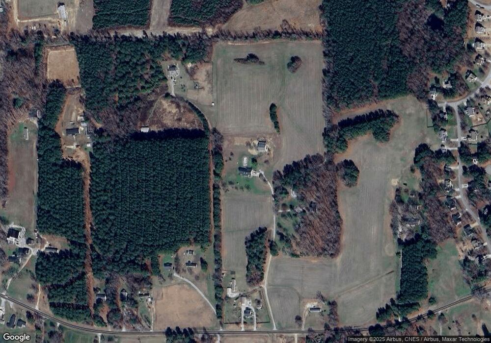
Map
Nearby Homes
- 70 Rough Ln
- 45 Horsecreek Rd
- Lot 1 Rembert Run Ct
- Lot 3 Rembert Run Ct
- 35 Cotton Dr
- 60 Harley Ct
- Lot 5 Rembert Run Ct
- 4009 Nc 39 Hwy S
- 25 Rembert Run Ct
- 7187 Pearces Rd
- 7397 Pearces Rd
- 444 Barnette Rd
- 563 Arnold Rd
- 7030 Pearces Rd
- 80 Shartree Farms Ln
- 6964 Pearce Rd
- 6964 Pearces Rd
- 654 Ferrells Bridge Rd
- 129 Dump Horton Rd
- 180 Normandy Rd
- 0 Cedar Valley Ln
- 402 Mc Wilder Rd
- 402 Mc Wilder Rd
- 185 Cedar Valley Ln
- 436 Mc Wilder Rd
- 190 Cedar Valley Ln
- 190 Cedar Valley Ln
- 438 Mc Wilder Rd
- 414 Mc Wilder Rd
- 388 Mc Wilder Rd
- 326 Mc Wilder Rd
- 326 Mc Wilder Rd
- 496 Mc Wilder Rd
- 95 Wilders Crossing Dr
- 85 Wilders Crossing Dr
- 75 Wilders Crossing Dr
- 506 Mc Wilder Rd
- 105 Wilders Crossing Dr
- 100 Willow Ridge Dr
- 65 Wilders Crossing Dr