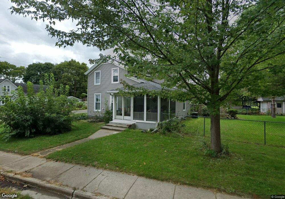
404 Riverside Dr Lowell, MI 49331
Estimated Value: $267,000 - $305,000
3
Beds
2
Baths
1,681
Sq Ft
$173/Sq Ft
Est. Value
About This Home
This home is located at 404 Riverside Dr, Lowell, MI 49331 and is currently estimated at $291,566, approximately $173 per square foot. 404 Riverside Dr is a home located in Kent County with nearby schools including Bushnell Elementary School, Cherry Creek Elementary School, and Lowell Middle School.
Ownership History
Date
Name
Owned For
Owner Type
Purchase Details
Closed on
Nov 16, 2020
Sold by
Porter Barbara Ann
Bought by
Porter Barbara Ann and Porter Donald George
Current Estimated Value
Purchase Details
Closed on
Sep 2, 2009
Sold by
Horn Patricia
Bought by
Porter Barbara
Purchase Details
Closed on
Sep 18, 2002
Sold by
Meiste Chris A and Meiste Bonnie
Bought by
Horn Donald and Horn Patricia
Home Financials for this Owner
Home Financials are based on the most recent Mortgage that was taken out on this home.
Original Mortgage
$87,500
Interest Rate
5.39%
Purchase Details
Closed on
Sep 13, 2002
Sold by
Va
Bought by
Meiste Chris A and Meiste Bonnie K
Home Financials for this Owner
Home Financials are based on the most recent Mortgage that was taken out on this home.
Original Mortgage
$87,500
Interest Rate
5.39%
Create a Home Valuation Report for This Property
The Home Valuation Report is an in-depth analysis detailing your home's value as well as a comparison with similar homes in the area
Home Values in the Area
Average Home Value in this Area
Purchase History
| Date | Buyer | Sale Price | Title Company |
|---|---|---|---|
| Porter Barbara Ann | -- | None Available | |
| Porter Barbara | $85,000 | Multiple | |
| Horn Donald | $135,000 | Metropolitan Title Co | |
| Meiste Chris A | -- | -- |
Source: Public Records
Mortgage History
| Date | Status | Borrower | Loan Amount |
|---|---|---|---|
| Previous Owner | Horn Donald | $87,500 |
Source: Public Records
Tax History Compared to Growth
Tax History
| Year | Tax Paid | Tax Assessment Tax Assessment Total Assessment is a certain percentage of the fair market value that is determined by local assessors to be the total taxable value of land and additions on the property. | Land | Improvement |
|---|---|---|---|---|
| 2025 | $2,610 | $146,100 | $0 | $0 |
| 2024 | $2,610 | $115,600 | $0 | $0 |
| 2023 | $2,950 | $105,200 | $0 | $0 |
| 2022 | $2,830 | $96,000 | $0 | $0 |
| 2021 | $2,750 | $86,600 | $0 | $0 |
| 2020 | $2,280 | $78,600 | $0 | $0 |
| 2019 | $2,677 | $73,900 | $0 | $0 |
| 2018 | $2,620 | $70,700 | $0 | $0 |
| 2017 | $2,554 | $61,600 | $0 | $0 |
| 2016 | $2,483 | $55,900 | $0 | $0 |
| 2015 | -- | $55,900 | $0 | $0 |
| 2013 | -- | $54,500 | $0 | $0 |
Source: Public Records
Map
Nearby Homes
- 510 N Hudson St SE
- 521 Spring St
- 216 W Main St Unit 6
- 220 King St Unit 10
- 220 King St Unit 6
- 725 N Lafayette St SE
- 414 N Jefferson St
- 913 N Monroe St
- 610 Birchwood Ct SE
- 926 N Washington St
- 780 Bowes Rd
- 325 S Division St
- 913 Clark St Unit 7
- 1060 N Washington St
- 1550 Carol Lynne Dr
- 1080 N Washington St SE
- Cedarwood Plan at Flat River Estates
- Sycamore Plan at Flat River Estates
- Elmwood Plan at Flat River Estates
- Chestnut Plan at Flat River Estates
- 326 Riverside Dr
- 315 Spring St
- 418 Riverside Dr
- 316 Spring St
- 318 Riverside Dr
- 420 Riverside Dr
- 423 N Hudson St
- 418 N Hudson St SE
- 418 N Hudson St
- 424 N Hudson St
- 515 N Hudson St
- 510 N Hudson St
- 502 N Hudson St
- 320 N Hudson St
- 416 Howard St
- 224 Riverside Dr
- 502 N Hudson St SE
- 306 Elm St
- 517 N Hudson St
- 517 N Hudson St SE