Estimated Value: $290,000 - $317,909
4
Beds
3
Baths
2,246
Sq Ft
$137/Sq Ft
Est. Value
About This Home
This home is located at 404 Traceton Ct, Byram, MS 39272 and is currently estimated at $308,227, approximately $137 per square foot. 404 Traceton Ct is a home located in Hinds County with nearby schools including Gary Road Elementary School, Gary Road Intermediate School, and Byram Middle School.
Ownership History
Date
Name
Owned For
Owner Type
Purchase Details
Closed on
Jun 1, 2009
Sold by
Clearbrook Residential Builders Llc
Bought by
Lomax Portia
Current Estimated Value
Home Financials for this Owner
Home Financials are based on the most recent Mortgage that was taken out on this home.
Original Mortgage
$224,816
Outstanding Balance
$142,348
Interest Rate
4.81%
Estimated Equity
$165,879
Create a Home Valuation Report for This Property
The Home Valuation Report is an in-depth analysis detailing your home's value as well as a comparison with similar homes in the area
Home Values in the Area
Average Home Value in this Area
Purchase History
| Date | Buyer | Sale Price | Title Company |
|---|---|---|---|
| Lomax Portia | -- | -- |
Source: Public Records
Mortgage History
| Date | Status | Borrower | Loan Amount |
|---|---|---|---|
| Open | Lomax Portia | $224,816 |
Source: Public Records
Tax History Compared to Growth
Tax History
| Year | Tax Paid | Tax Assessment Tax Assessment Total Assessment is a certain percentage of the fair market value that is determined by local assessors to be the total taxable value of land and additions on the property. | Land | Improvement |
|---|---|---|---|---|
| 2025 | $2,266 | $21,982 | $3,000 | $18,982 |
| 2024 | $2,266 | $21,982 | $3,000 | $18,982 |
| 2023 | $2,266 | $21,982 | $3,000 | $18,982 |
| 2022 | $3,381 | $21,982 | $3,000 | $18,982 |
| 2021 | $2,199 | $21,982 | $3,000 | $18,982 |
| 2020 | $2,117 | $21,629 | $3,000 | $18,629 |
| 2019 | $2,107 | $21,629 | $3,000 | $18,629 |
| 2018 | $2,107 | $21,629 | $3,000 | $18,629 |
| 2017 | $2,068 | $21,629 | $3,000 | $18,629 |
| 2016 | $2,068 | $21,629 | $3,000 | $18,629 |
| 2015 | $2,026 | $21,343 | $3,000 | $18,343 |
| 2014 | $1,998 | $21,343 | $3,000 | $18,343 |
Source: Public Records
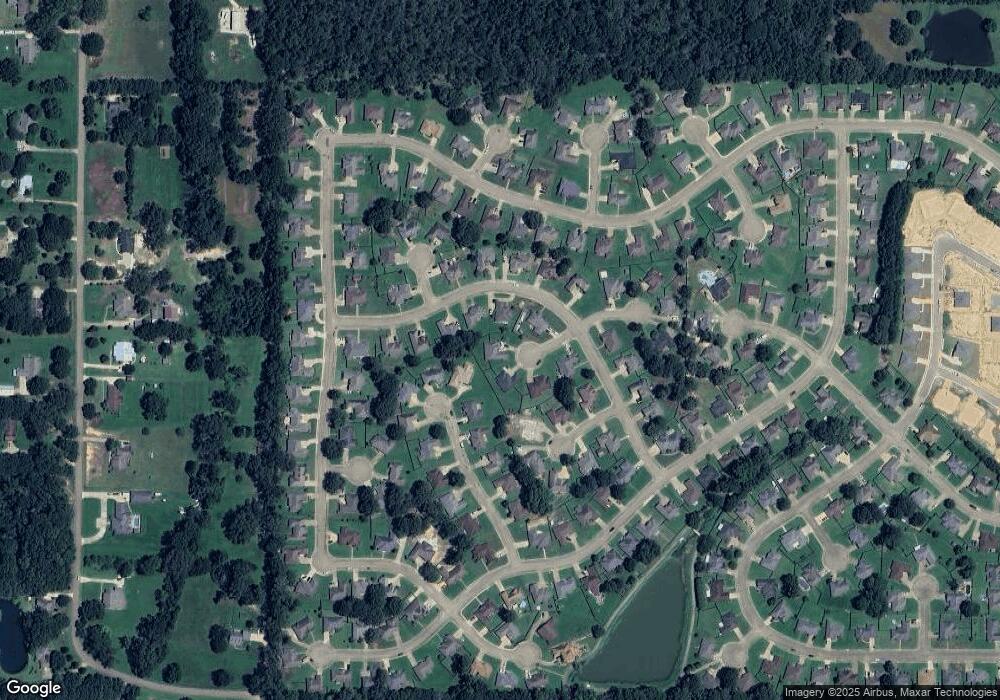
Map
Nearby Homes
- 213 Raulston Dr
- 232 Raulston Dr
- 248 Raulston Dr
- 252 Raulston Dr
- 256 Raulston Dr
- 260 Raulston Dr
- 229 Raulston Dr
- Cairn Plan at Barrington
- Booth Plan at Barrington
- Alston Plan at Barrington
- 120 Gun Hill Cove
- 0000 Henderson Rd
- 4299 Henderson Rd
- 0 Henderson Rd Unit 4126215
- 702 Meadow View Cove
- 6760 S Siwell Rd
- 00 S Siwell Rd
- 0 S Siwell Rd Unit 4088750
- 0 S Siwell Rd Unit 24872982
- A1 Meadow Dr
- 408 Traceton Ct
- 521 Wellington Dr
- 525 Wellington Dr
- 529 Wellington Dr
- 517 Wellington Dr
- 405 Traceton Ct
- 620 Lexington Cove
- 533 Wellington Dr
- 120 Wellington Dr
- 0 Wellington Dr Unit Lot 119
- 628 Lexington Cove
- 513 Wellington Dr
- 108 Keaton Cove
- 616 Lexington Cove
- 104 Keaton Cove
- 536 Wellington Dr
- 528 Wellington Dr
- 532 Wellington Dr
- 625 Lexington Cove
- 524 Wellington Dr